
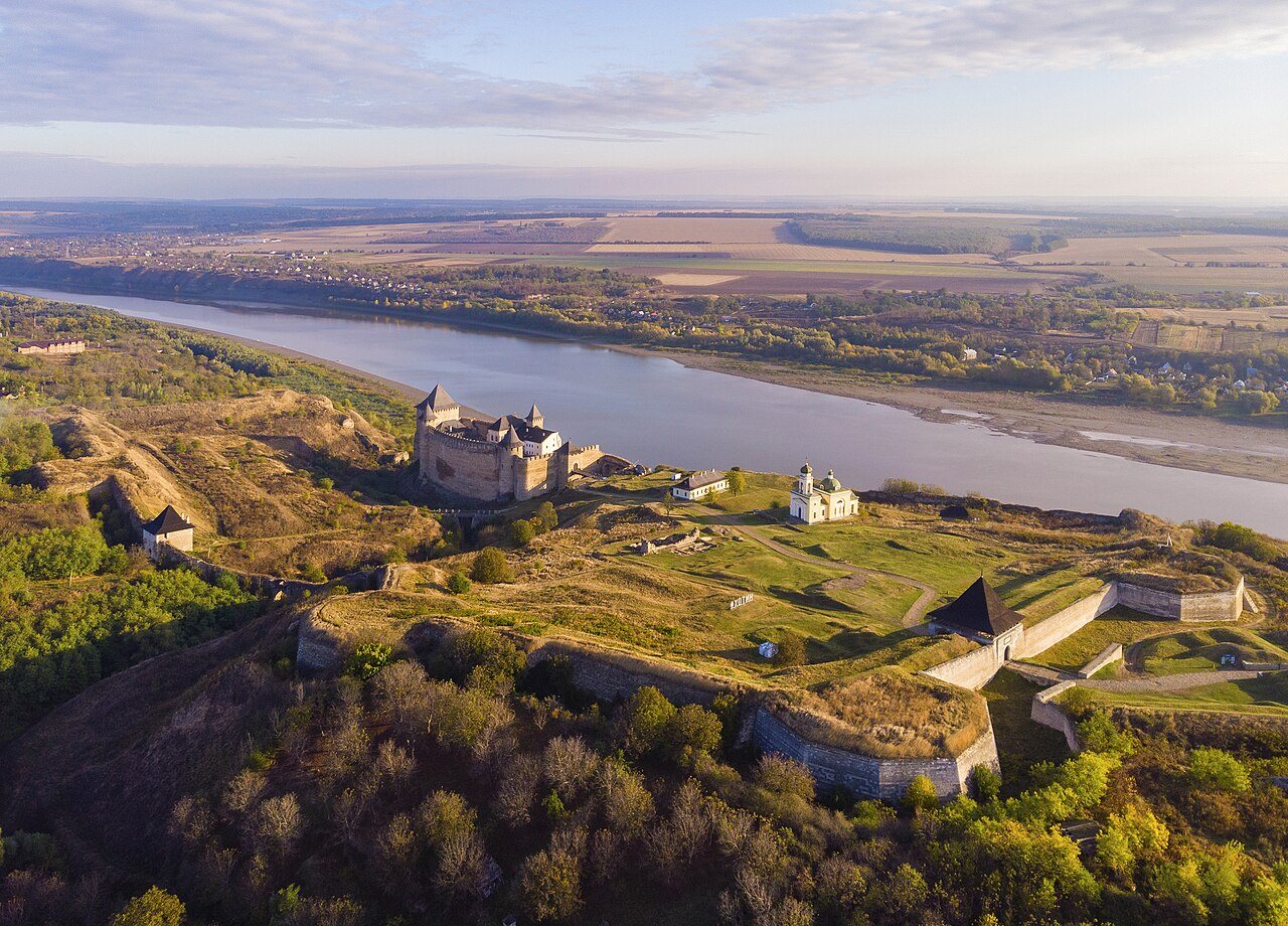
c. 1000–1300: From river corridor to fortified place
Khotyn’s early defenses developed through successive phases of wooden and stone construction. A garrison on the high bank could watch the Dniester crossing, while a settlement grew around the fortress and its approaches.
c. 1300–1408: Khotyn within the emerging Moldavian state
During the fourteenth century, Khotyn became part of the Principality of Moldavia. The fortress protected its northern approaches, and roads connected the town with Suceava, Podolia, and Lviv.
1408: The customs privilege and documentary Khotyn
In 1408, the Moldavian ruler Alexandru cel Bun issued a customs privilege that included Khotyn in a network of fairs and customs points. The town’s role is described in the regional survey later edited by the Bessarabian historian Ștefan Ciobanu.
The privilege records a commercial system in which rulers taxed and protected goods in transit. Jewish merchants who settled in Khotyn in later centuries joined a town with established trading routes and markets.
1457–1504: Stephen the Great
Under the Moldavian ruler Stephen the Great, also known as Ștefan cel Mare, Khotyn formed part of a network of fortified sites. Moldavian rulers strengthened walls, towers, and defensive works. Later Ottoman and Russian construction further altered the fortress.
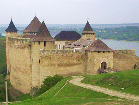
1504–1538: Pressure from the Ottoman world
In the early sixteenth century Moldavia faced growing Ottoman power and intensified contest over its northern and eastern defenses. Khotyn’s value increased because it sat where a river boundary, an international route, and a major fortress converged. The military significance of the site would dominate the next three centuries.
Sultan Süleyman I’s campaign against Moldavia in 1538 strengthened Ottoman influence. Khotyn’s later development as a directly administered Ottoman fortress district, or raya, belongs to the early eighteenth century.
Sources for c. 1000–1538
- Ștefan Ciobanu, ed., Basarabia: Monografie Regională (Chișinău: Imprimeria Statului, 1926), pp. 195–199. Read source
- Gumenâi, Ion. Istoria ținutului Hotin: de la origini până la 1806 [History of the Hotin district: From its origins to 1806] (Chișinău: Civitas, 2002). Read source
- Encyclopedia of Ukraine. “Khotyn.” Read source
- Khotyn State Historical-Architectural Reserve. Official heritage information on the fortress and modern site. Read source
See the Sources & Bibliography for publication details, original-language titles, and image credits.