
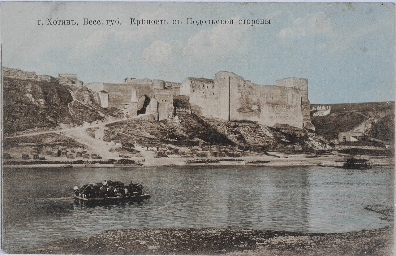
Before c. 1000: The river corridor
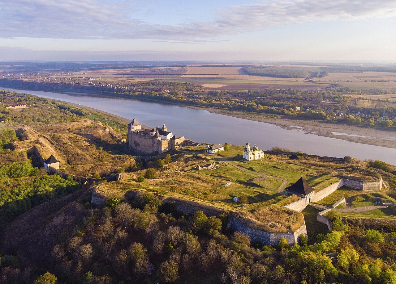
The Dniester cuts through the uplands below Khotyn. People could travel along the valley or cross between the lands that later became northern Bessarabia and Podolia. High ground above the water offered a place to watch those routes. Archaeological finds tell us about settlement in the wider region over many centuries; the town itself becomes clearer in medieval records.
For later Jewish residents, this geography mattered every day. The river connected markets and relatives on both banks, while changes in who controlled the crossing could interrupt trade or movement. The route existed long before the Jewish households named in Khotyn’s surviving records.
c. 1000–1408: Fortress, settlement, and customs
Successive fortifications rose above the crossing, with houses and workshops developing along the approaches. By the fourteenth century, Khotyn was tied to Moldavia and to roads toward Suceava, Podolia, and Lviv. The fortress protected the route; the customs point allowed rulers to collect duties from merchants moving goods through it.
In 1408, the Moldavian ruler Alexandru cel Bun named Khotyn in a customs privilege. Such a document describes a working commercial network rather than the lives of particular residents. It shows why traders would come to the town: someone crossing the river needed carriers, food, lodging, credit, and a place to exchange or sell goods.
1457–1538: Moldavian Khotyn and a changing frontier
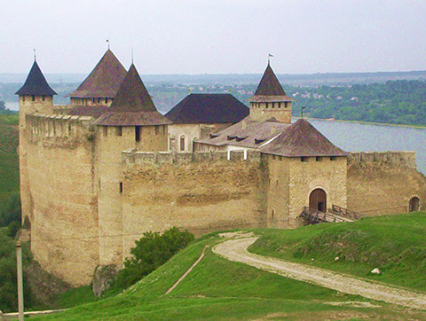
Under Stephen the Great and later Moldavian rulers, Khotyn formed part of a defended northern frontier. Its walls were expanded and repaired over time. Markets and routes remained useful even as armies and rulers changed. Later Ottoman and Russian building would alter the fortress again, so its surviving walls reflect several periods.
Jewish reference histories recount early merchants at Khotyn, including a David and his son Yosef in the fifteenth century. Their accounts offer a possible early presence, while the more detailed named household and tax documents begin much later. The clearly documented eighteenth-century community grew in a town already shaped by the crossing, fortress, and trade. Ottoman influence grew after the campaign of 1538; the next period follows the town through the wars and markets of that borderland.
Sources for the early background
- Ștefan Ciobanu, ed., Basarabia: Monografie Regională (Chișinău: Imprimeria Statului, 1926), pp. 195–199. Read source
- Gumenâi, Ion. Istoria ținutului Hotin: de la origini până la 1806 [History of the Hotin district: From its origins to 1806] (Chișinău: Civitas, 2002). Read source
- Encyclopedia of Ukraine. “Khotyn.” Read source
- Khotyn State Historical-Architectural Reserve. Official heritage information on the fortress and modern site. Read source
Notes on sources
The prehistoric discussion concerns the middle Dniester region. Dates proposed for the earliest fortifications at Khotyn vary; the cited architectural and regional histories discuss that chronology.
See the Sources & Bibliography for publication details, original-language titles, and image credits.