Sokal
Ukraine
Maps
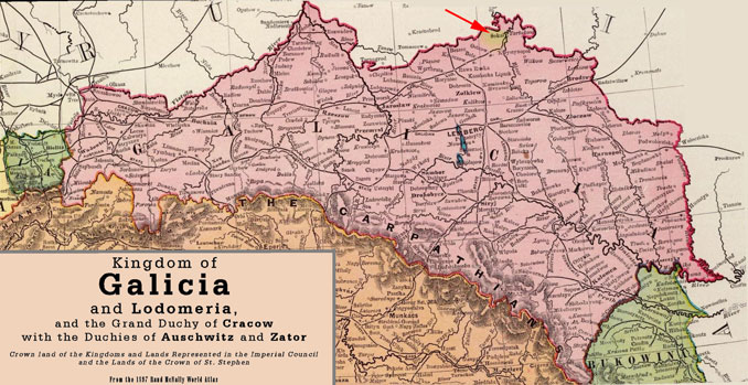
Galicia, 1897
Map from Wikipoedia, original source 1897 Rand McNally World Atlas.
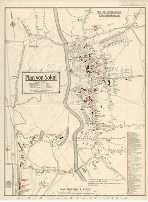
1918 Austrian Military map of Sokal
This is a very detailed map from the Centre for Urban History of East Central Europe. Click on the map to view it in a new page with high resolution and ability to enlarge.
It clearly shows the layout of the Jewish area and location of the Jewish Cemetery.
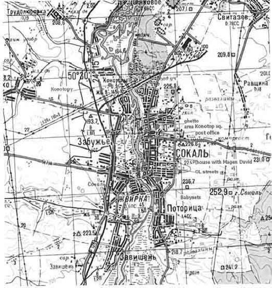
Soviet map of Sokal
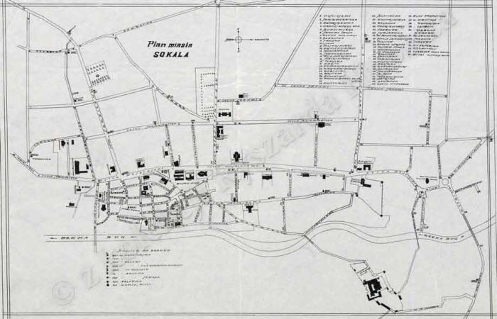
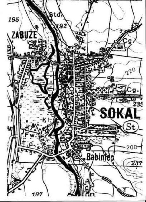
Polish map of Sokal
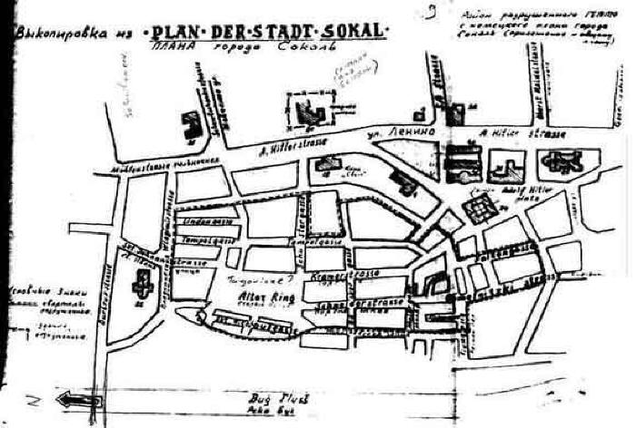
Nazi map of Sokal
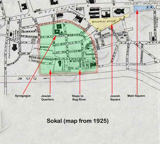
Map of Sokal - 1925
(click to view higher resolution image in seperate window enabling
enlargement)
Jewish areas marked on 1925 map
Sokal Jewish Guide Map
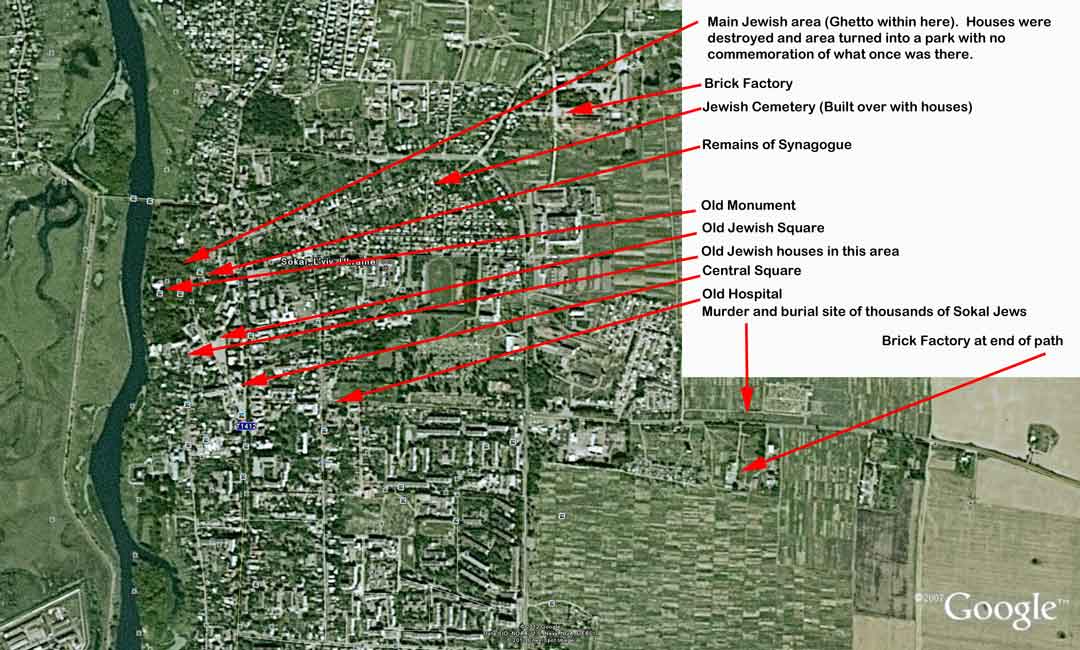
Google 2007 map of Sokal. Significant areas of interest have been added to this map.
Sites marked on this map are based on our findings during a visit to Sokal in May, 2012. We were lucky enough to meet a very old Polish lady who still had strong memories about the Pogroms that took place during WW2. She was very keen to lead us to the place where many Jews were slaughtered and buried in a pit alongside the road. Today, if you visit that site, you would have no idea that many Jewish victims are buried here. There are no signs marking this spot or any commemoration in respect of them.
