רחובות Coordinates: 31° 53' 52.67" N 34° 48' 29.24" E 
|
||
|
רחובות Coordinates: 31° 53' 52.67" N 34° 48' 29.24" E
|
||
| Home | Maps | Links | Census |

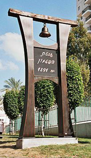
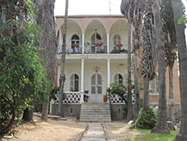
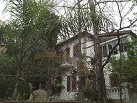
Bell Dondikov House |
||
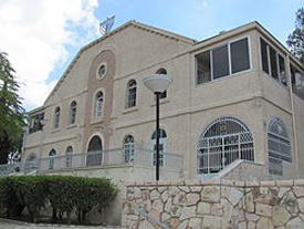
Slutzkin House |
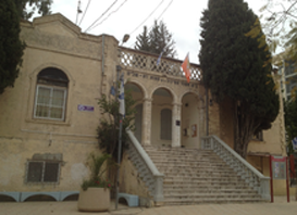
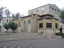
Great Synagogue |
Zax House |
Yosefzon House |
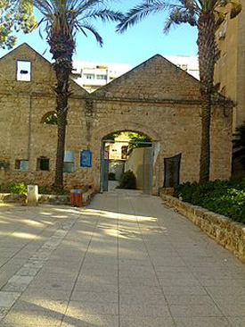
Old Winery Entrance |
Camp Ariovitch |
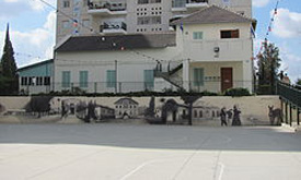
People House |
Dondikov House |
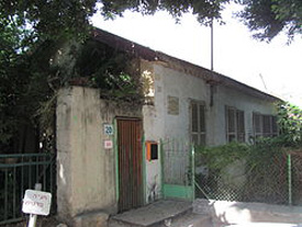
Broider House |
| New City | ||
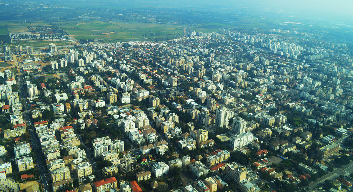
Aerial View (click to enlarge) |
||
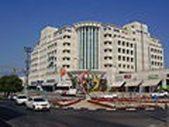
Mall & Municipality |
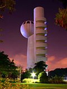
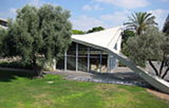
Weizmann Accelerator |
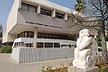
Rehovot Librejo |
photos: courtesy of Zionist Archive
|
Please contact Leah Haber Gedalia with your additions, questions, corrections, or comments! webmaster: richard L. baum |
|
This page is hosted at no cost to the public by JewishGen, Inc., a non-profit corporation. If it has been useful to you, or if you are moved by the effort to preserve the memory of our lost communities, your JewishGen-erosity would be deeply appreciated. |
|
KehilaLinks Home |
JewishGen Home
|
Created: 25 June 2017
Last Modified: 05-20-2018
Copyright © 2017 Leah Gedalia
All Rights Reserved.