The Kiliya Cemetery
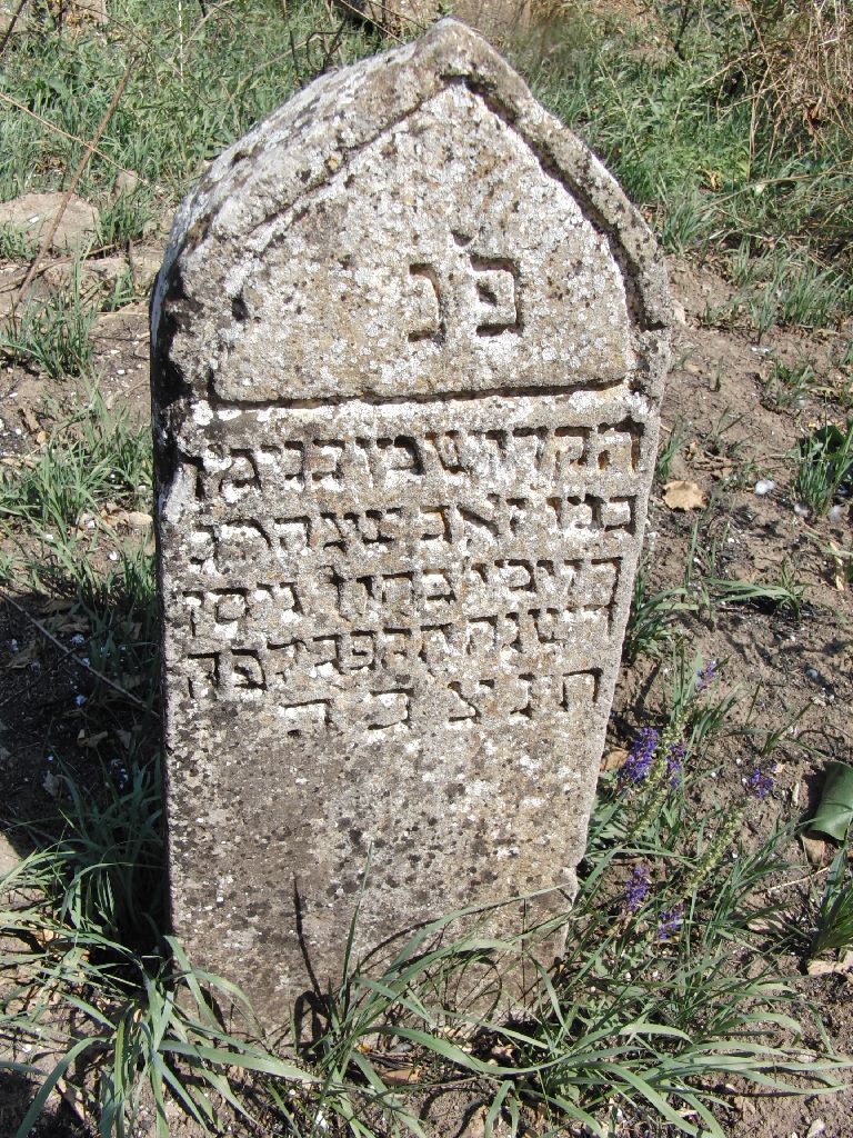
According to the International Jewish Cemetery Project, the Jewish cemetery was established in 1875. However the first readable tombstone photographed during the Kiliya Cemetery Project is from 1822. According to an article there would be graves dating from the XIV-XV centuries.
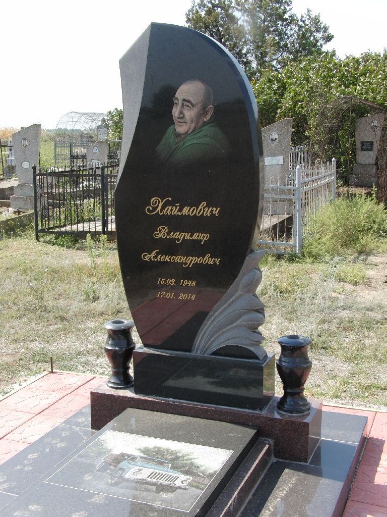
The last know burial is from 2014 so we assume that the Cemetery is still in use.
It is located in the North West part of the town in the region named "Mayaki".
There is no address to the Cemetery, but on the Google map, it can be read in Ukrainian:
Mayak Street, and another one close by: Kvitkova Street.

Aerial view of the jewish cemetery - Open view on Google Maps
Kiliya Cemetery Project
Between 2014 and 2015 the Bessarabia SIG carried on a projet to photograph and index the tombstones on the cemetery.
View the project report (pdf) here
Search the indexed names on the All Kiliya Database
View the cemetery image gallery here
Read the article about a Kiliya public organization restoring the cemetery in 2014 here

Oldest readable tombstone (1822)
|

Newest tombstone (2014)
|