Тернiвка,
Yкраïна
טערנעװקע
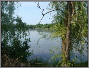 Ternivka Lake
(source: christine usdin)
Ternivka is a shtetl situated 200 miles south of Kiev and 19 miles
southwest of Uman, where Rebbe Nachman of Breslov is buried.
There were Jews living in Ternivka as early as 1765. By the late nineteenth
century the population had grown to almost three-thousand Jews (almost 53% of the total population).
Ternivka's Jewish population never got much larger than this size.
There was a Yiddish school and several synagogues; the latter were closed during the Soviet period.
Nazi forces occupied Ternivka in the summer of 1941, where they established a ghetto
for the Jews of the region. Less than a year later, in May 1942, the ghetto was liquidated;
2,500 Jews were murdered in a nearby forest. Soviet troops liberated Ternivka in March 1944, after three years of Nazi terror.
(primary source: The Encyclopedia of Jewish Life)
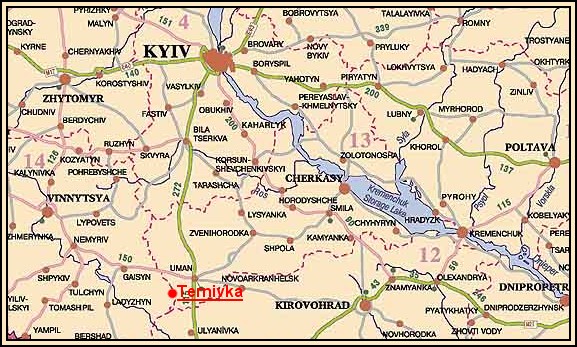
Ternivka's map coordinates are 48° 32' north latitude and 29° 58' east longitude.
Mapquest
Google Maps