
ראשׁ פּנה Coordinates: 32° 58' 12.01" N 35° 32' 31.72" E 
|
||
|
ראשׁ פּנה Coordinates: 32° 58' 12.01" N 35° 32' 31.72" E
|
||
| Home | Maps | The Fallen | Links | Census |
Rosh Pina |
||
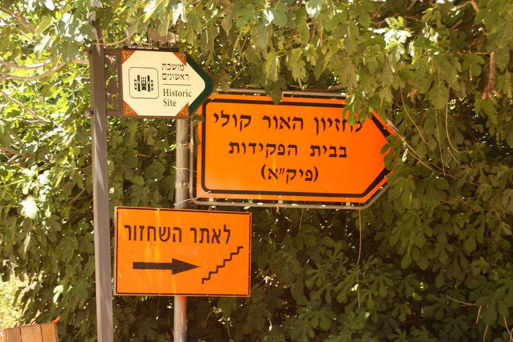
Road Sign |
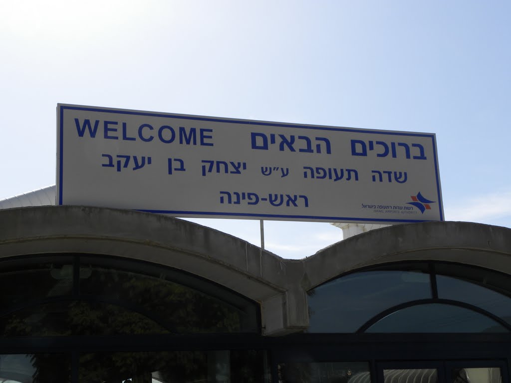
Airport Welcome |

Road Sign |
|
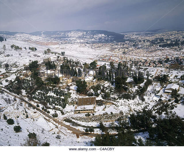
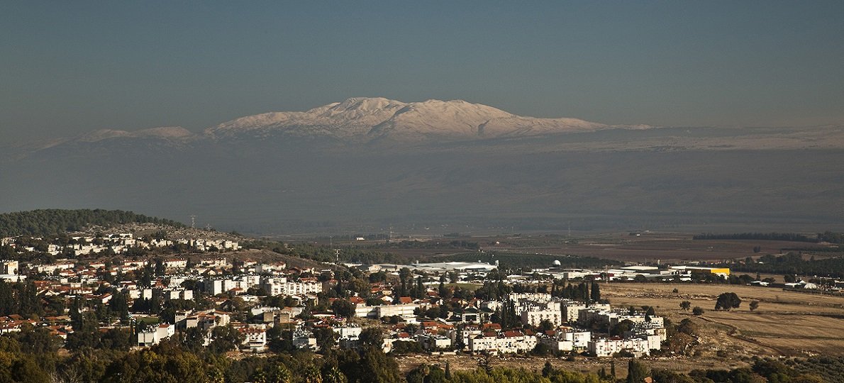
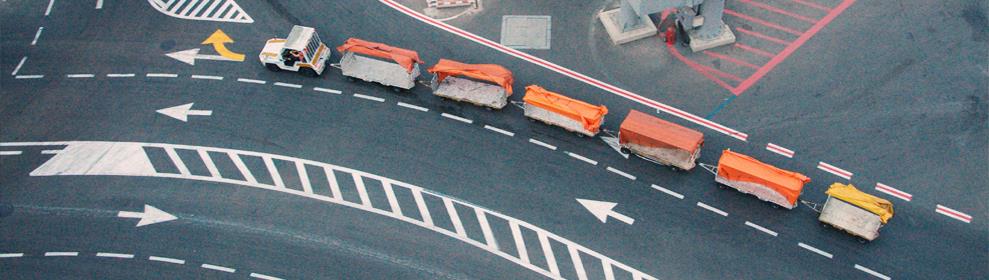
Rosh Pina Aerial View |

|
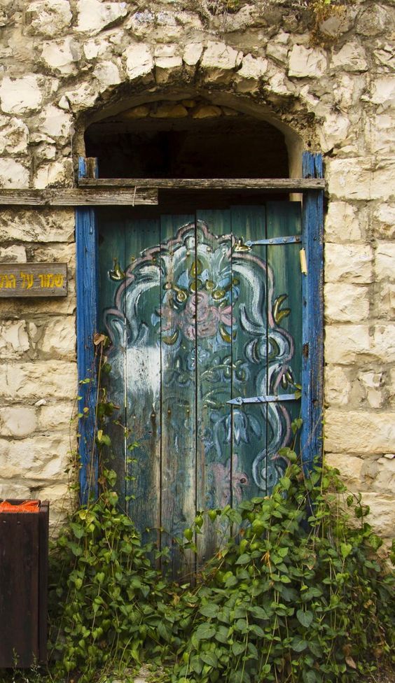
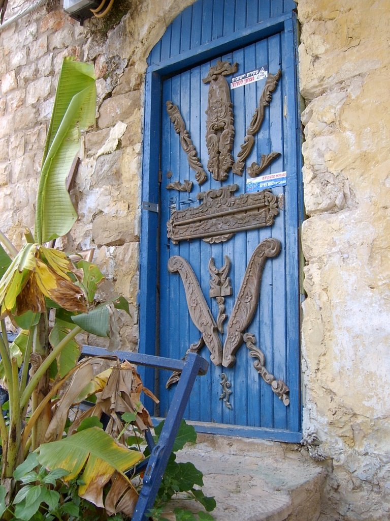
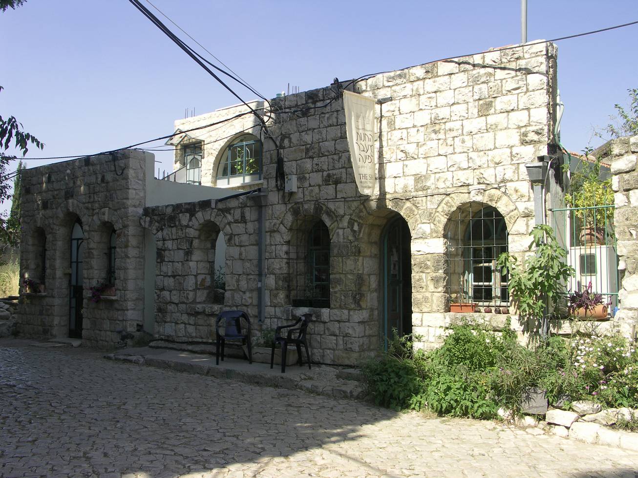
Rosh Pina Door |
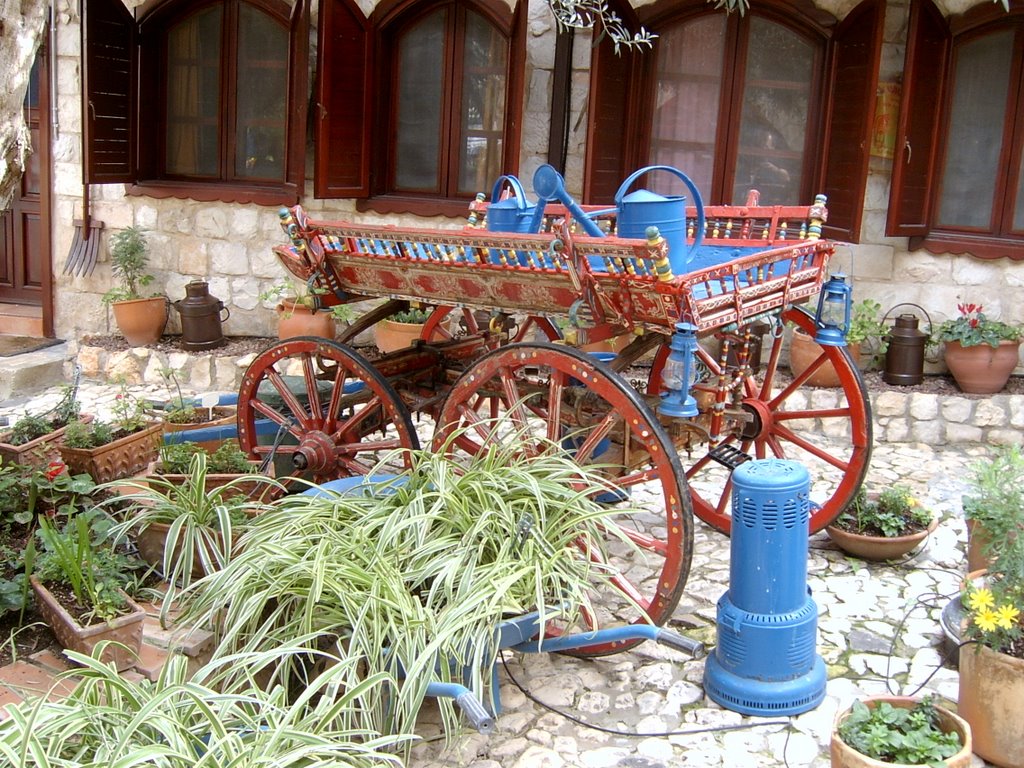
Beit Vilkomitz |
Door in May |
Airport Terminal Road | ||

Poster |

Dance School |
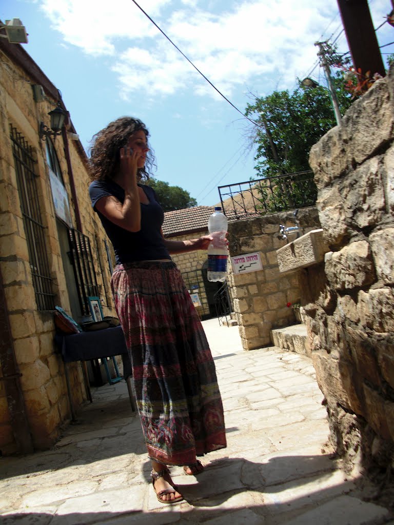
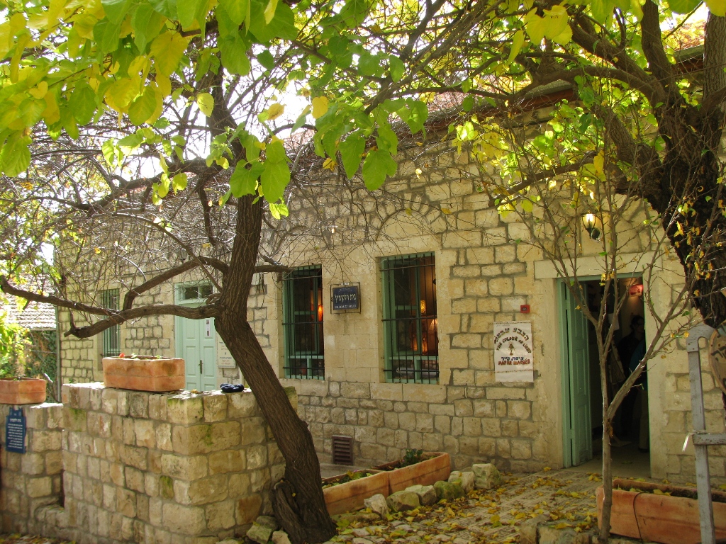
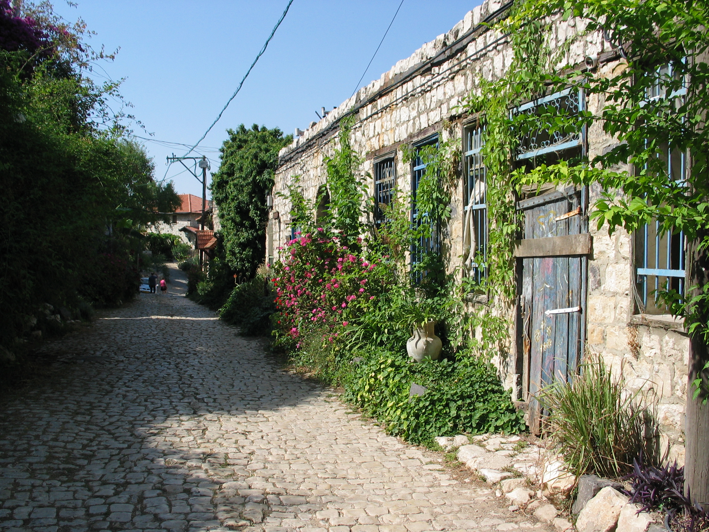
Street Scene |
|

Grapefruit Tree |
|
Nimrod's Overlook |
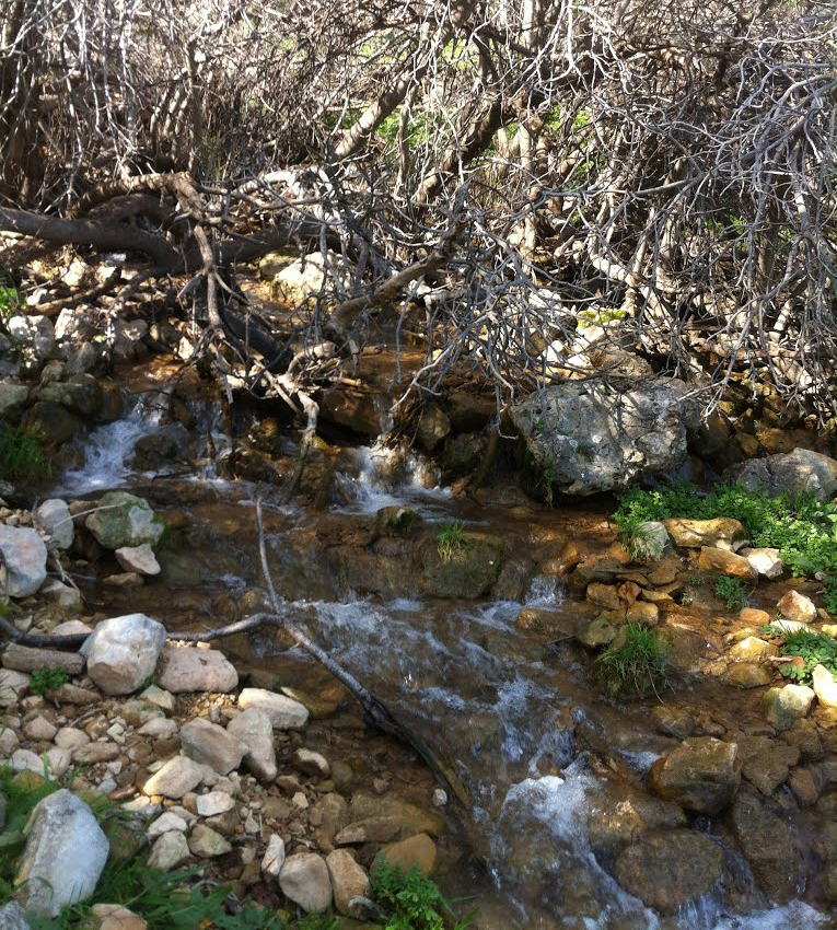
Valley Brook |

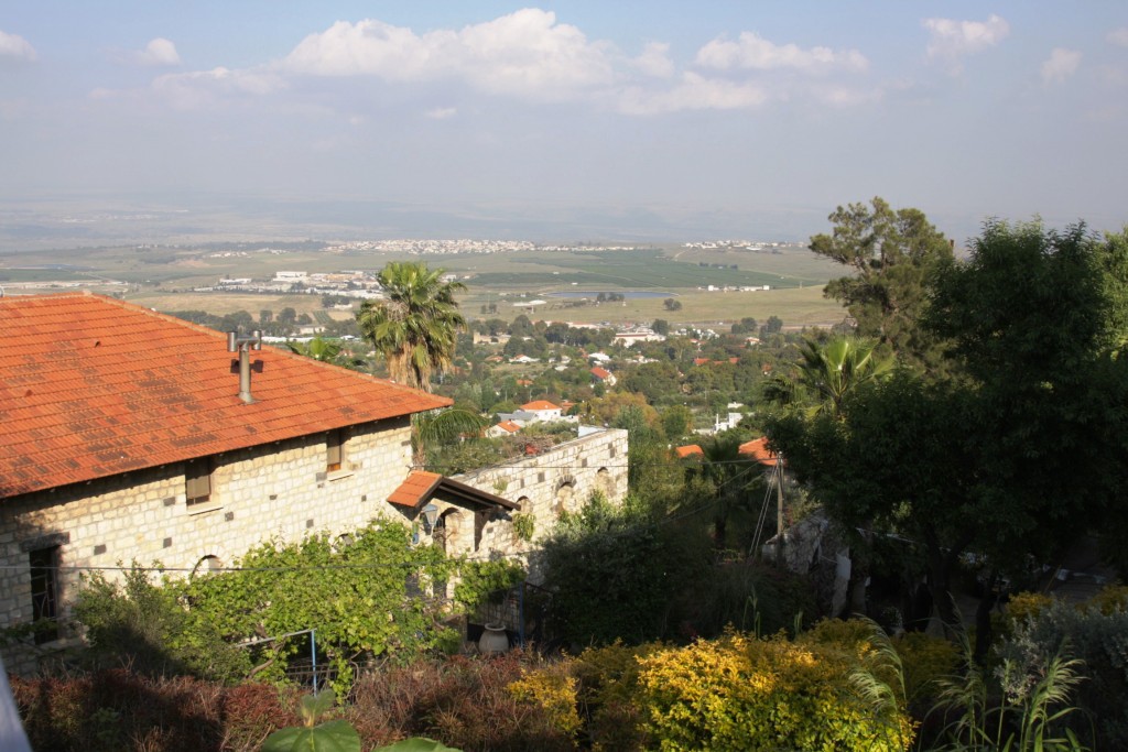
View from Vered Hagalil Ranch |
|
Please contact Leah Haber Gedalia with your additions, questions, corrections, or comments! webmaster: richard L. baum |
|
This page is hosted at no cost to the public by JewishGen, Inc., a non-profit corporation. If it has been useful to you, or if you are moved by the effort to preserve the memory of our lost communities, your JewishGen-erosity would be deeply appreciated. |
|
KehilaLinks Home |
JewishGen Home
|
Created: 27 Mar 2018
Last Modified: 04-22-2018
Copyright © 2018 Leah Gedalia
All Rights Reserved.