הרטוב Coordinates: 31° 45' 52.94" N 34° 59' 58.60" E 
|
||
|
הרטוב Coordinates: 31° 45' 52.94" N 34° 59' 58.60" E
|
||
| Home | Maps | The Fallen | Links | Census |

Second Temple Period Mikve |
||

Lime Kiln |
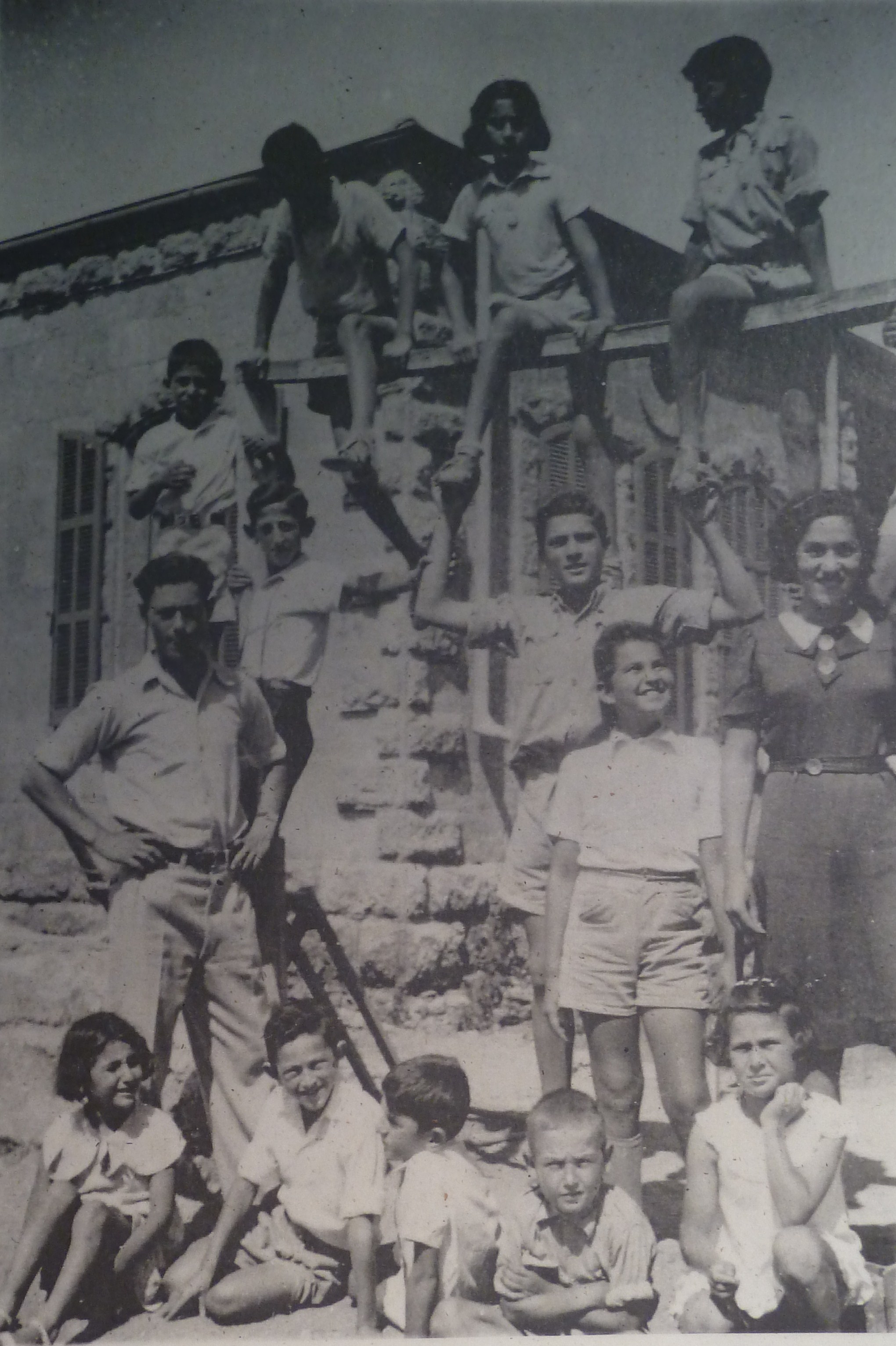
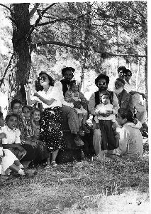
Dr. Duker & children, 1930 |
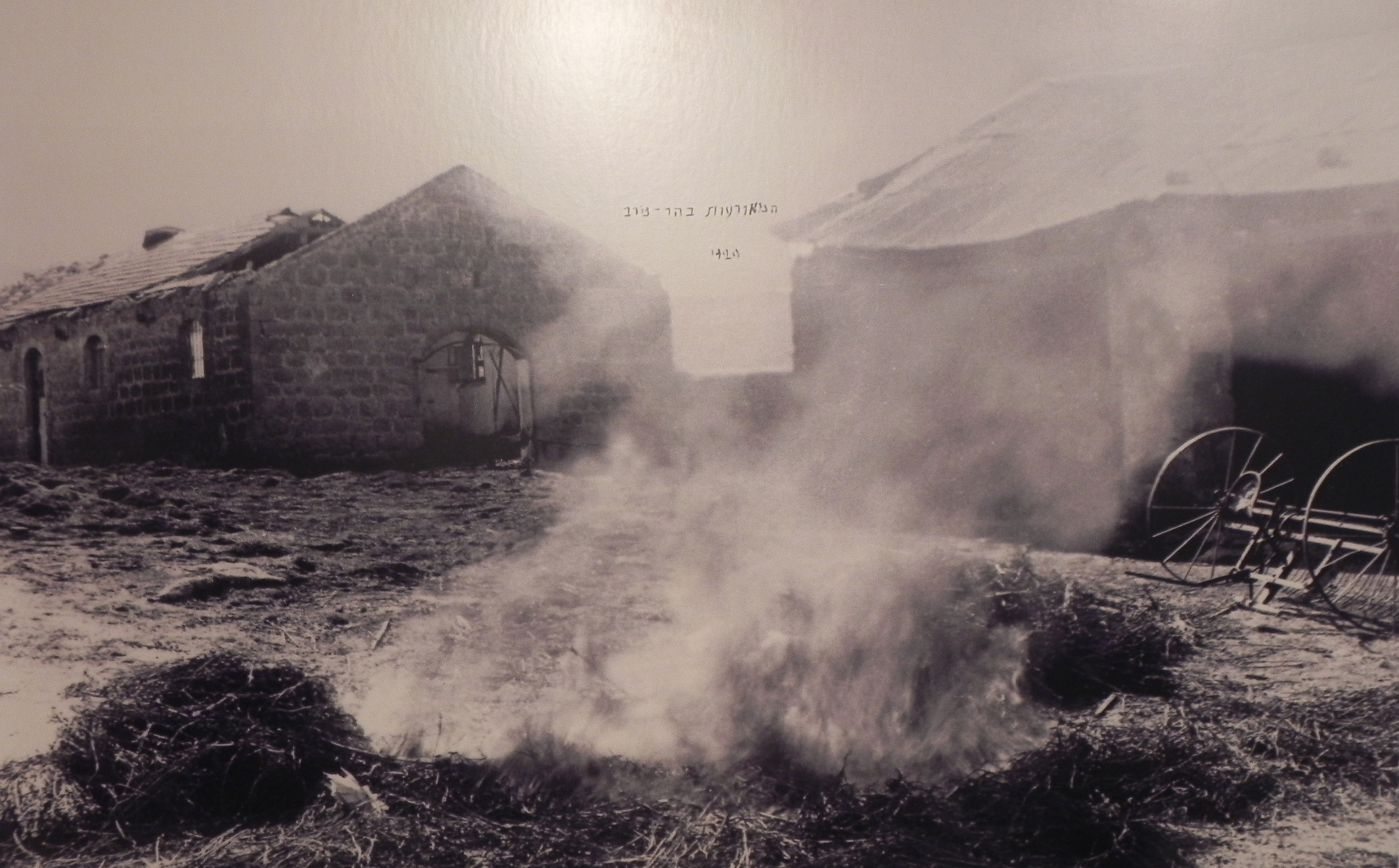
Hartuv Burning Arab Revolt, 1920 |

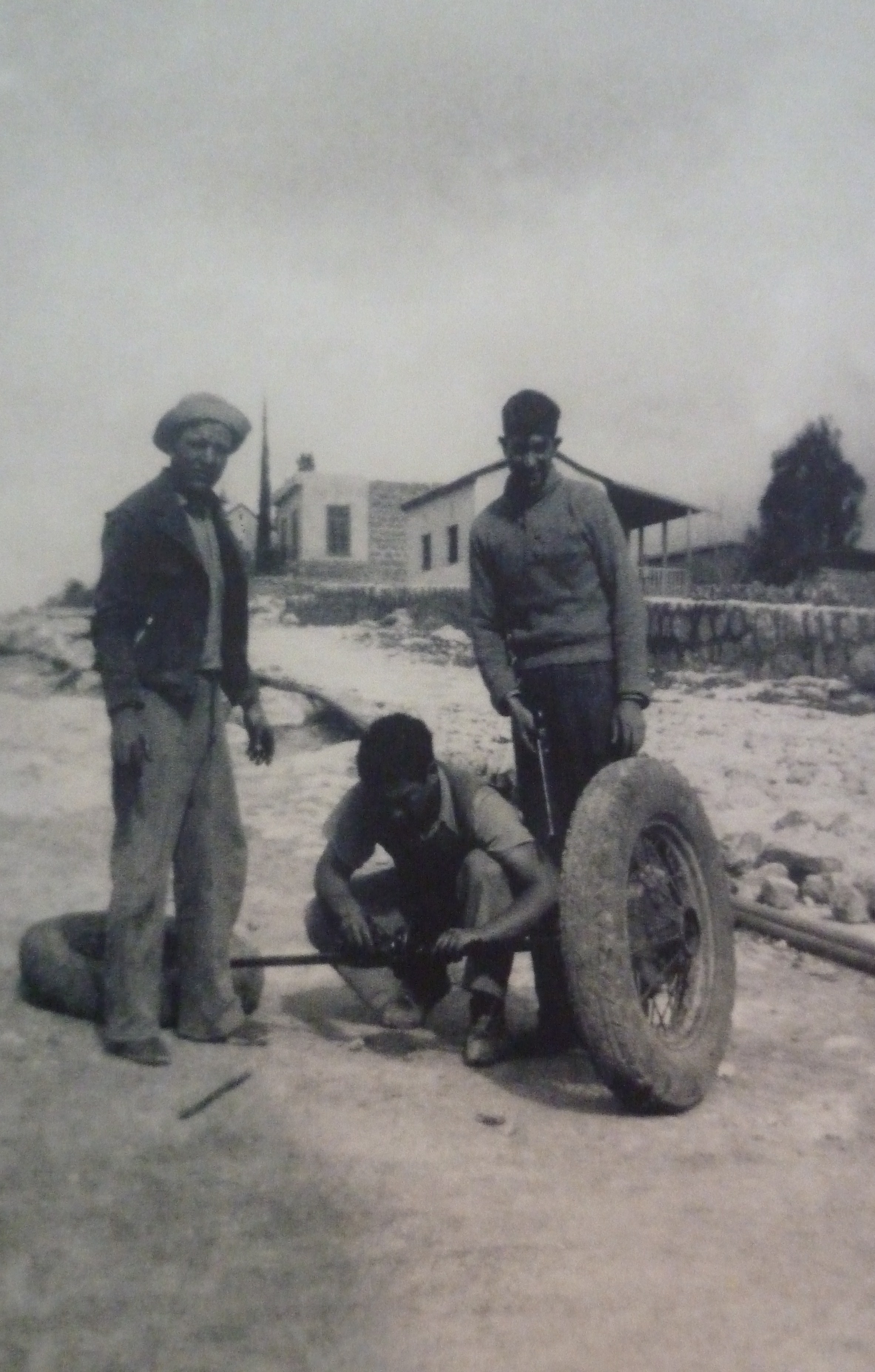
Digging A Well |
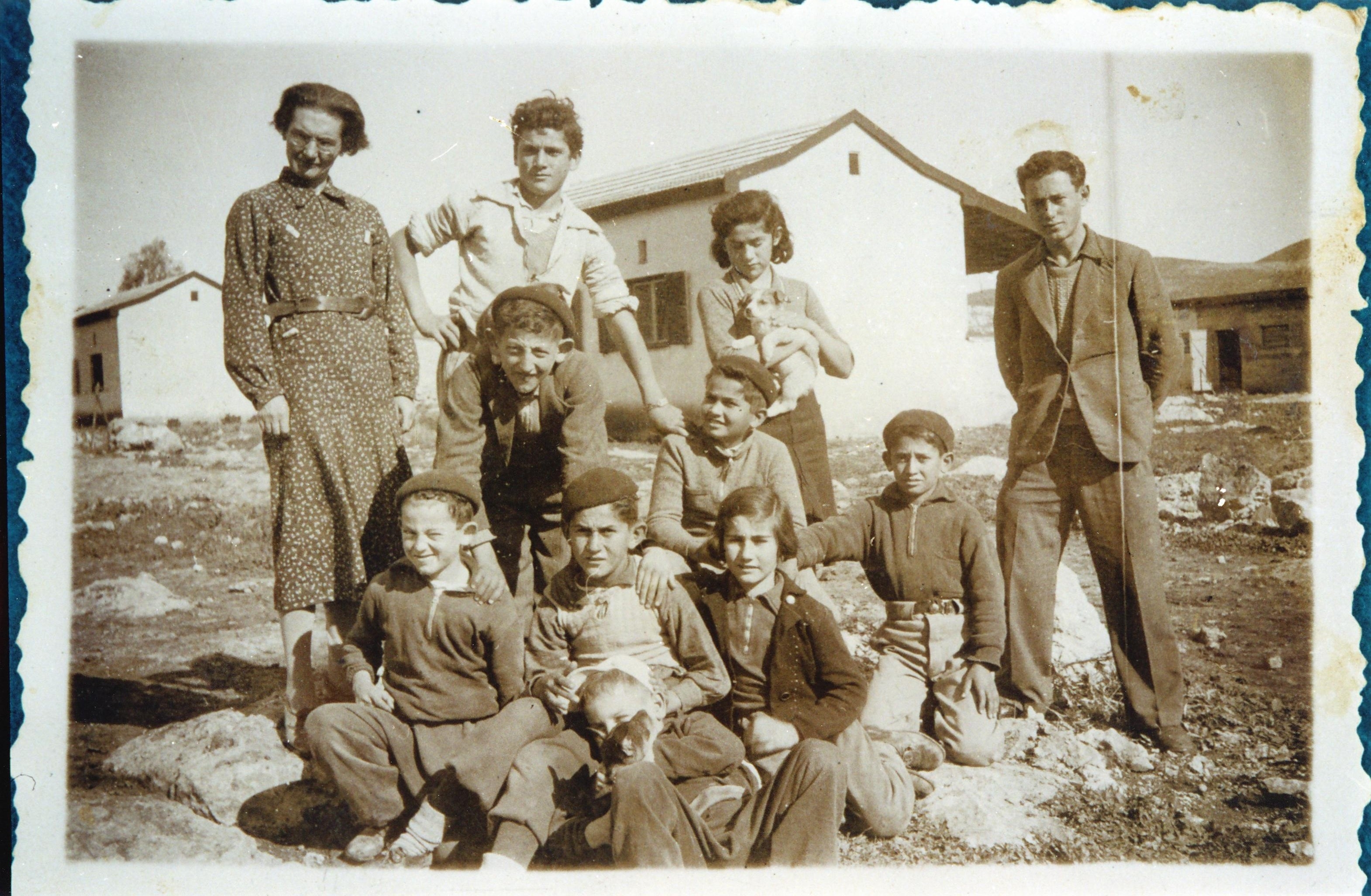
Hartuv, 1937 |

|

Elementary School |
Hartuv School |
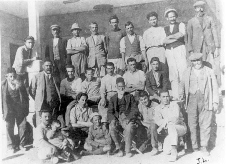
Bulgarian Settlers, 1920 |

Artuf Train Station, 1948 Palmach, Fourth Battalion |
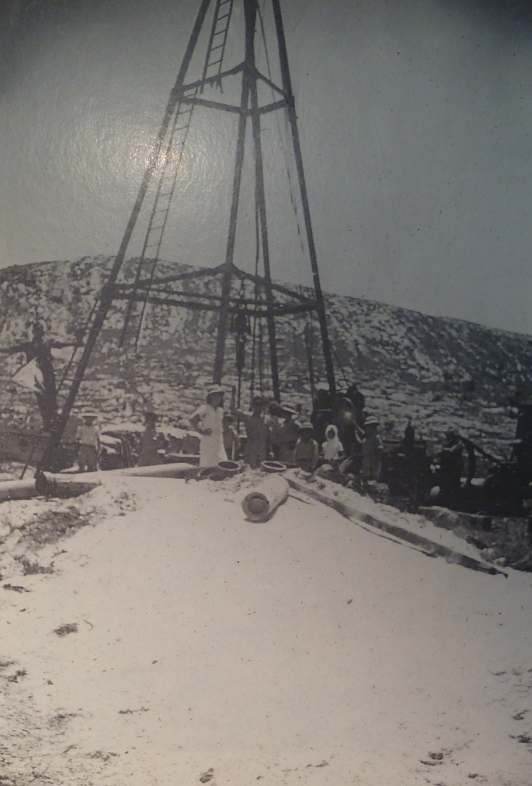
Drilling For Water |

Biyar Aqueduct |
New Immigrants, 1951 (Central Zionist Archive) |
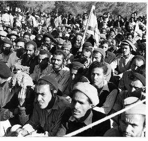
New Immigrants, 1951 (Central Zionist Archive) |
New Immigrants, 1951 (Central Zionist Archive) |

Sonia Rafael Russian Immigrant (Central Zionist Archive) |

Child (Central Zionist Archive) |
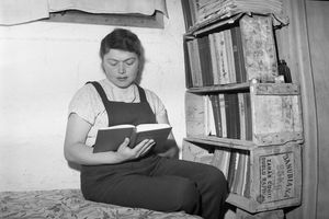
Sonia Rafael Russian Immigrant (Central Zionist Archive) |
|
Please contact Leah Haber Gedalia with your additions, questions, corrections, or comments! webmaster: richard L. baum |
|
This page is hosted at no cost to the public by JewishGen, Inc., a non-profit corporation. If it has been useful to you, or if you are moved by the effort to preserve the memory of our lost communities, your JewishGen-erosity would be deeply appreciated. |
|
KehilaLinks Home |
JewishGen Home
|
Created: 5 Mar 2018
Last Modified: 03-23-2018
Copyright © 2018 Leah Gedalia
All Rights Reserved.