הרטוב Coordinates: 31° 45' 52.94" N 34° 59' 58.60" E 
|
||
|
הרטוב Coordinates: 31° 45' 52.94" N 34° 59' 58.60" E
|
||
| Home | Maps | The Fallen | Links | Census |
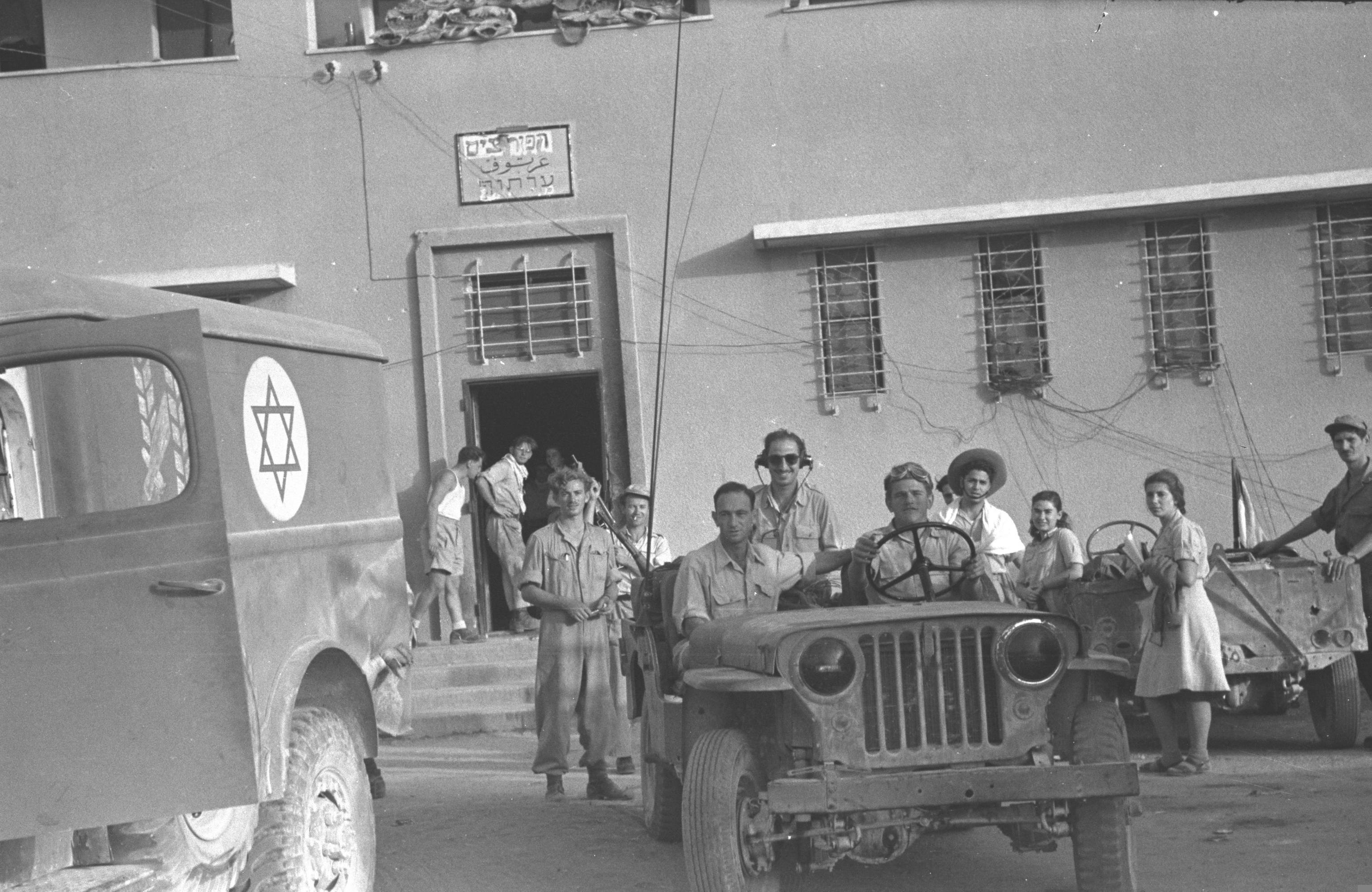
IDF Soldiers Hartuv Police Station Oct. 1948 |
||
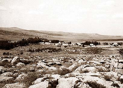
Artuf, 1948 |
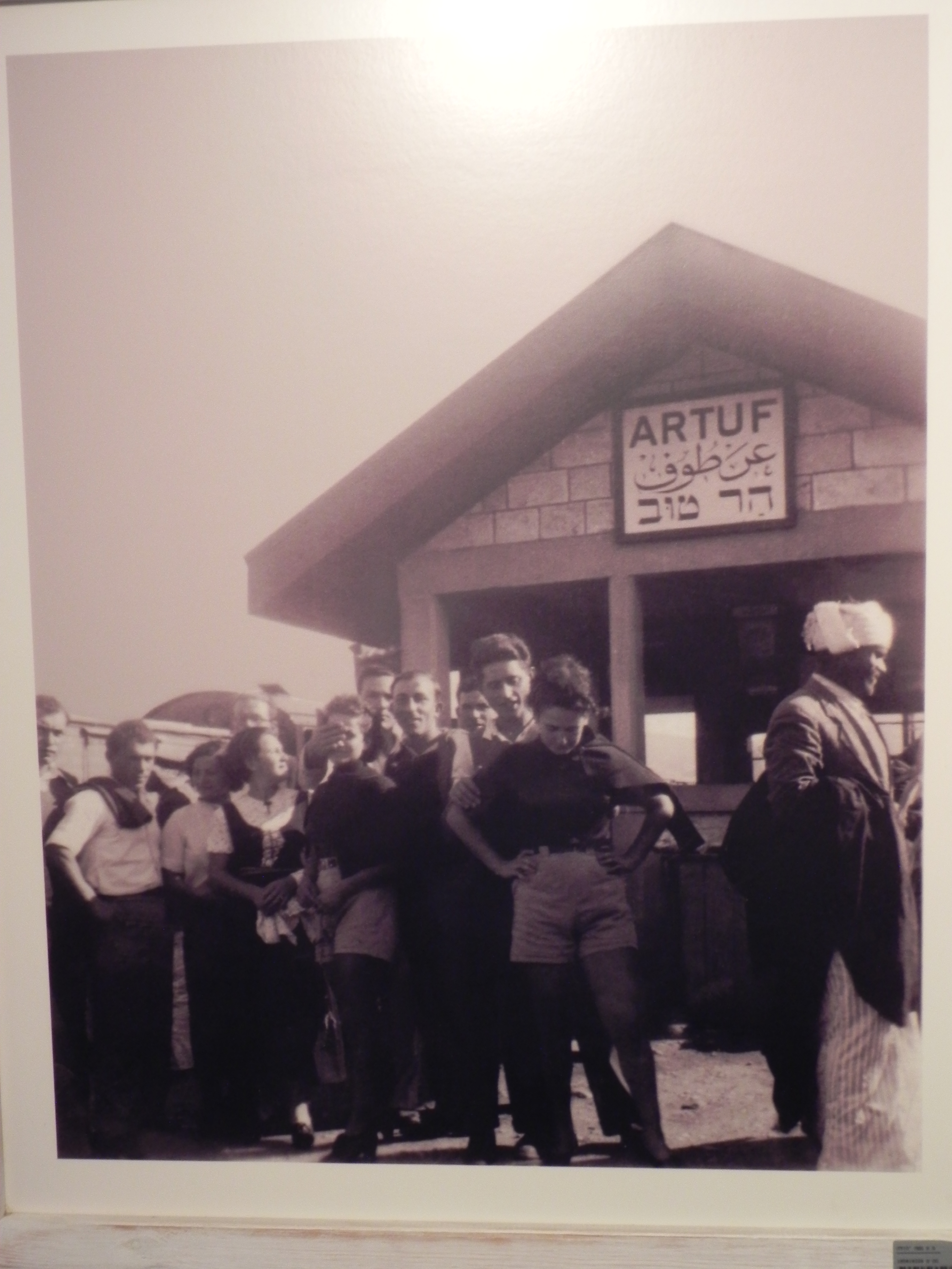
Artuf |

Hartuv, June 1949 Jerusalem Hills |
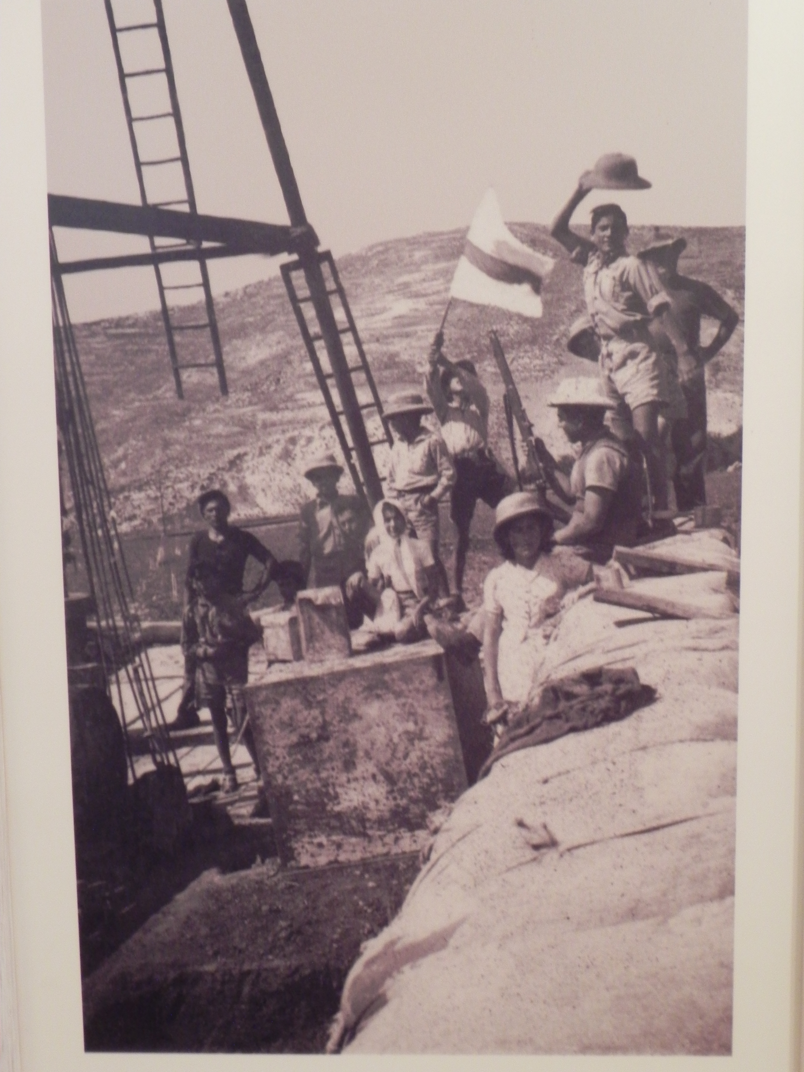
Lamed Hei Hill |
Hartuv |
Hartuv |

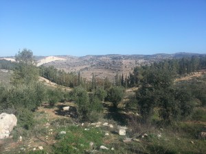
Aerial View Judean Hills |
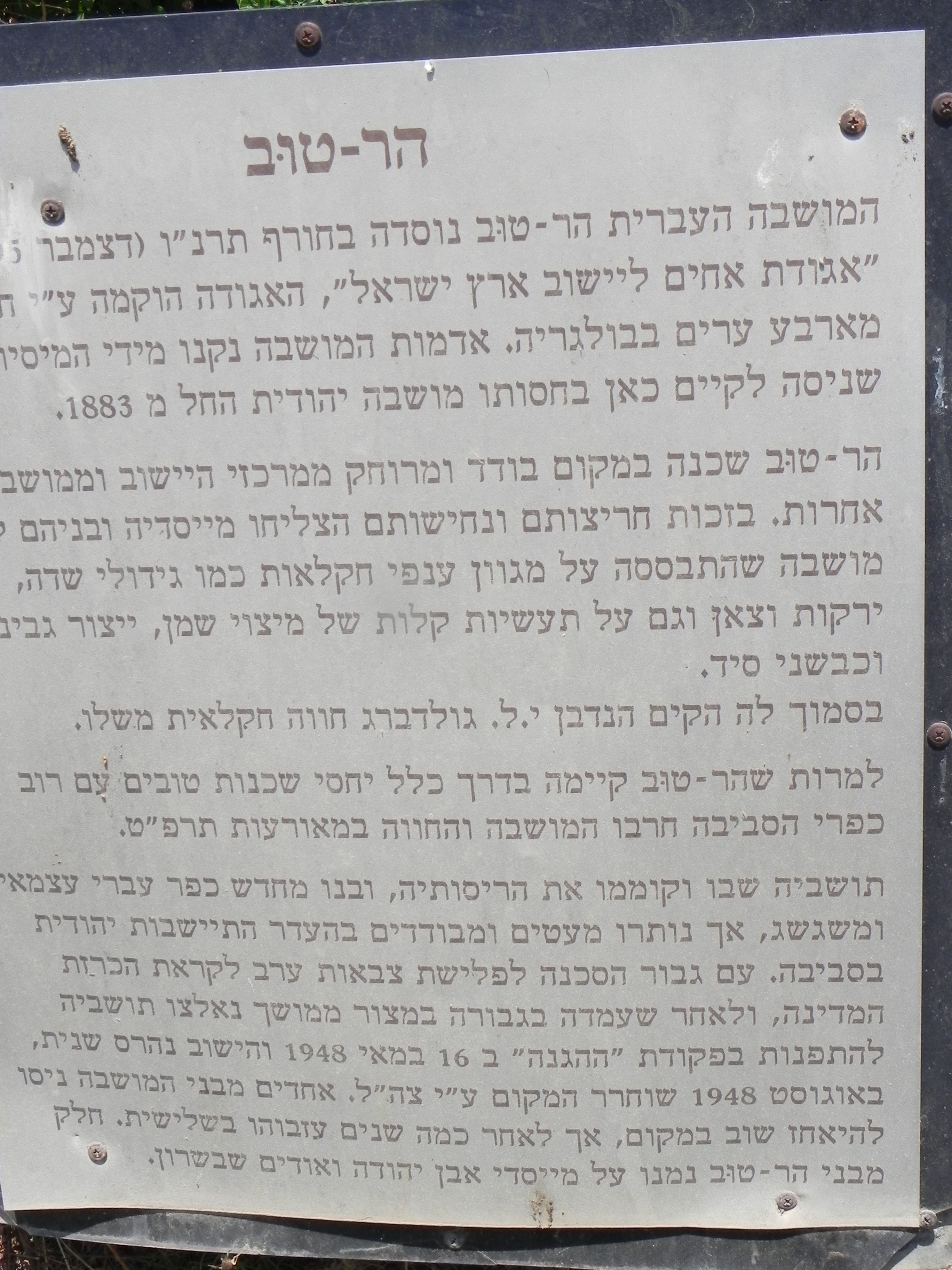
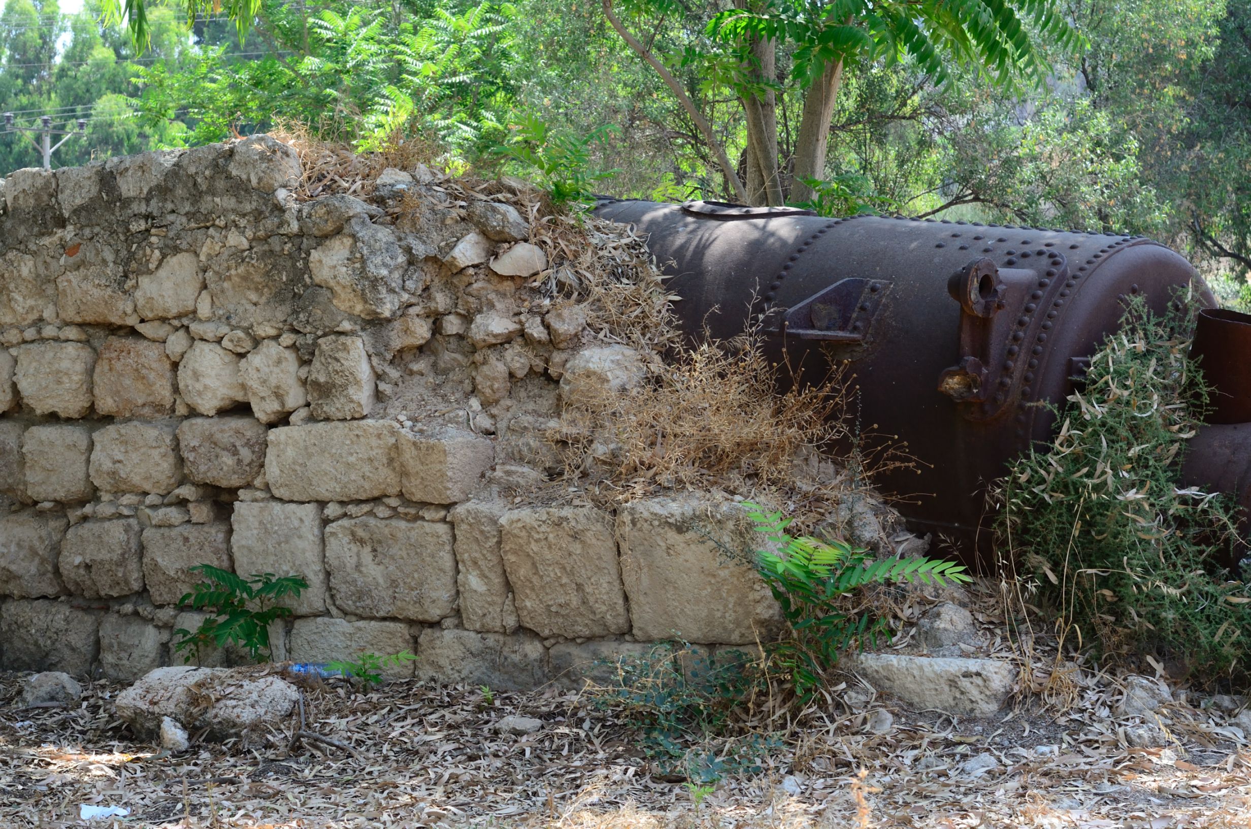
Hartuv History |
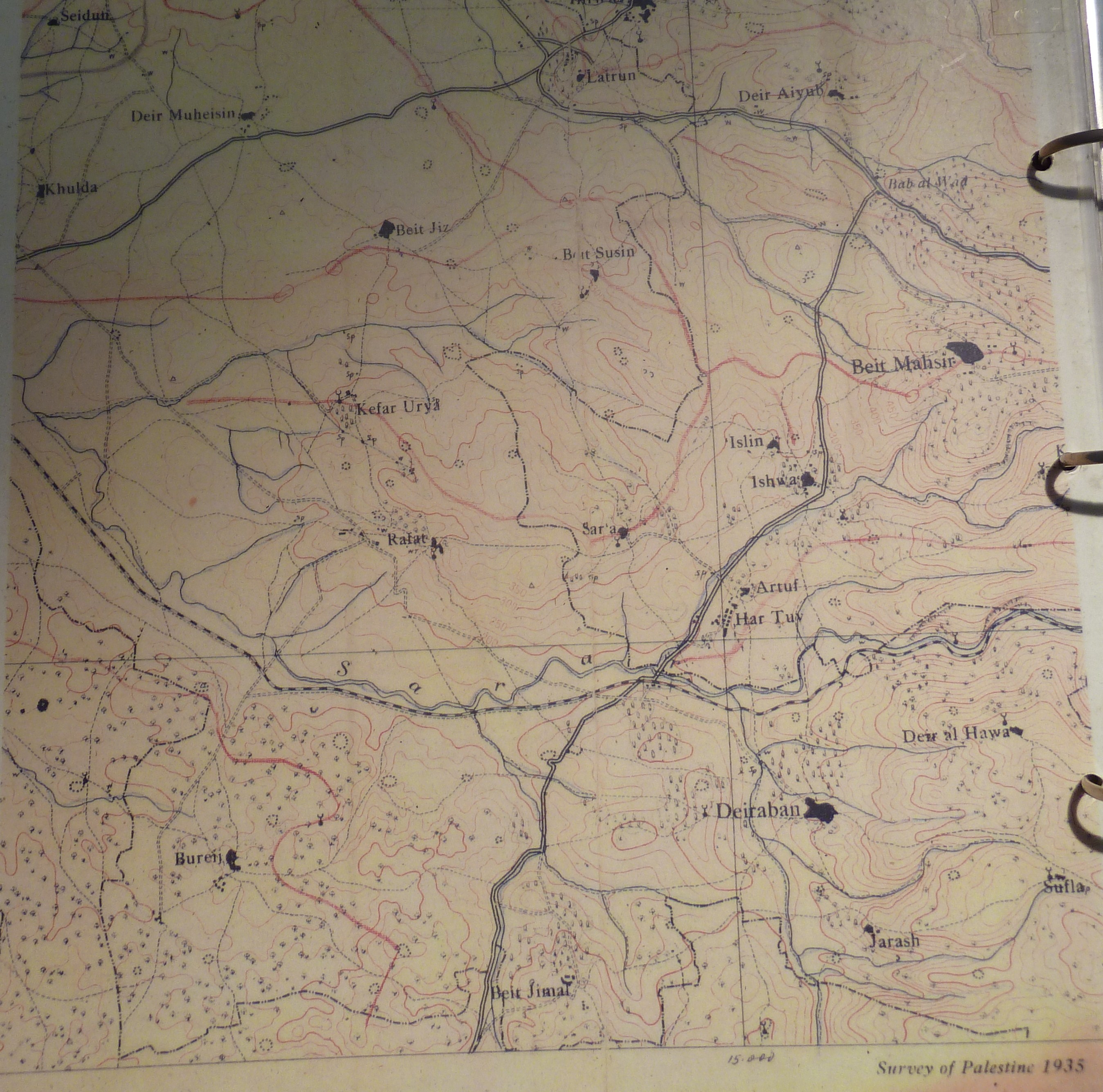
Hartuv Region, 1935 |

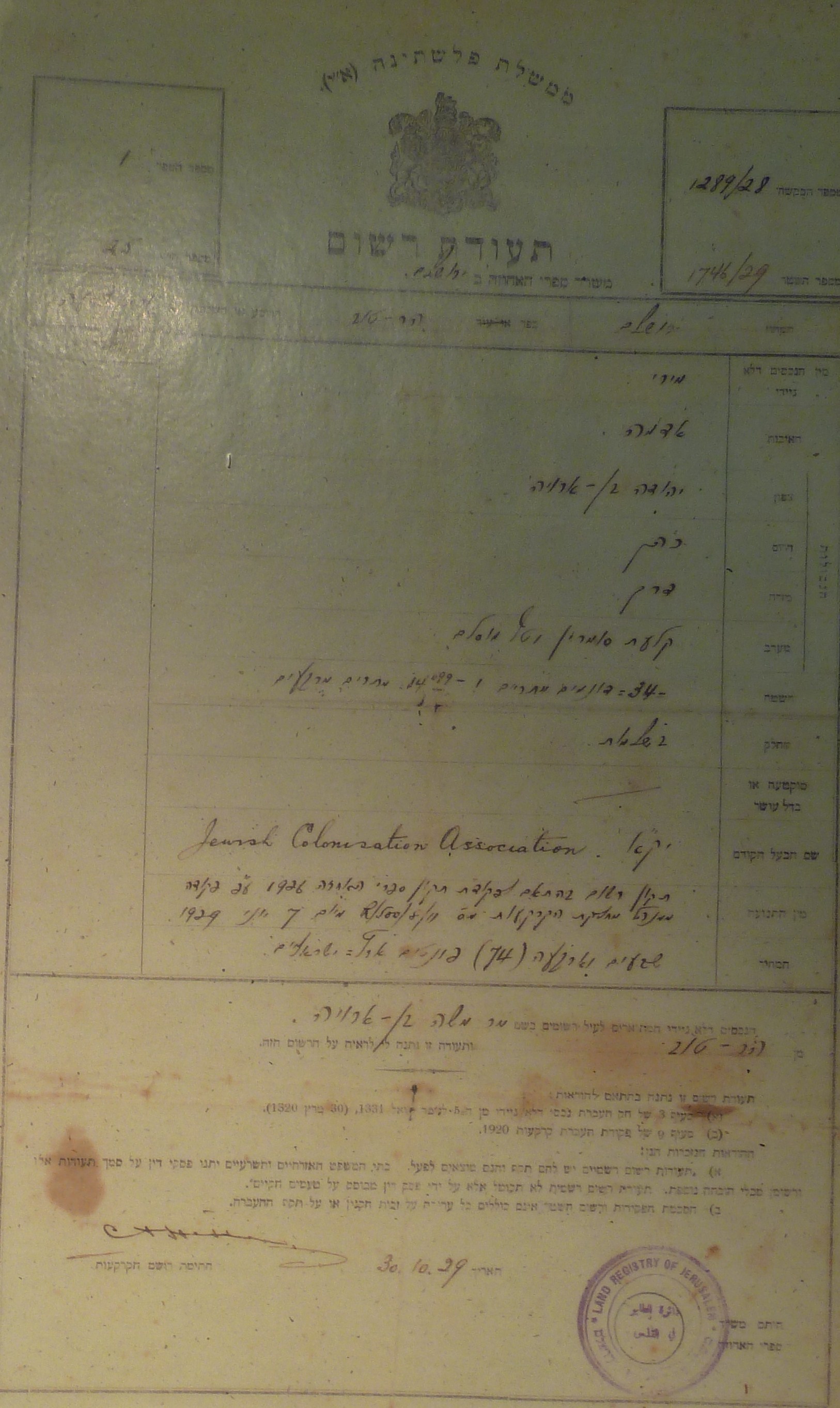
Ottoman Empire Permission to Purchase Land |
1929 Land Registration |
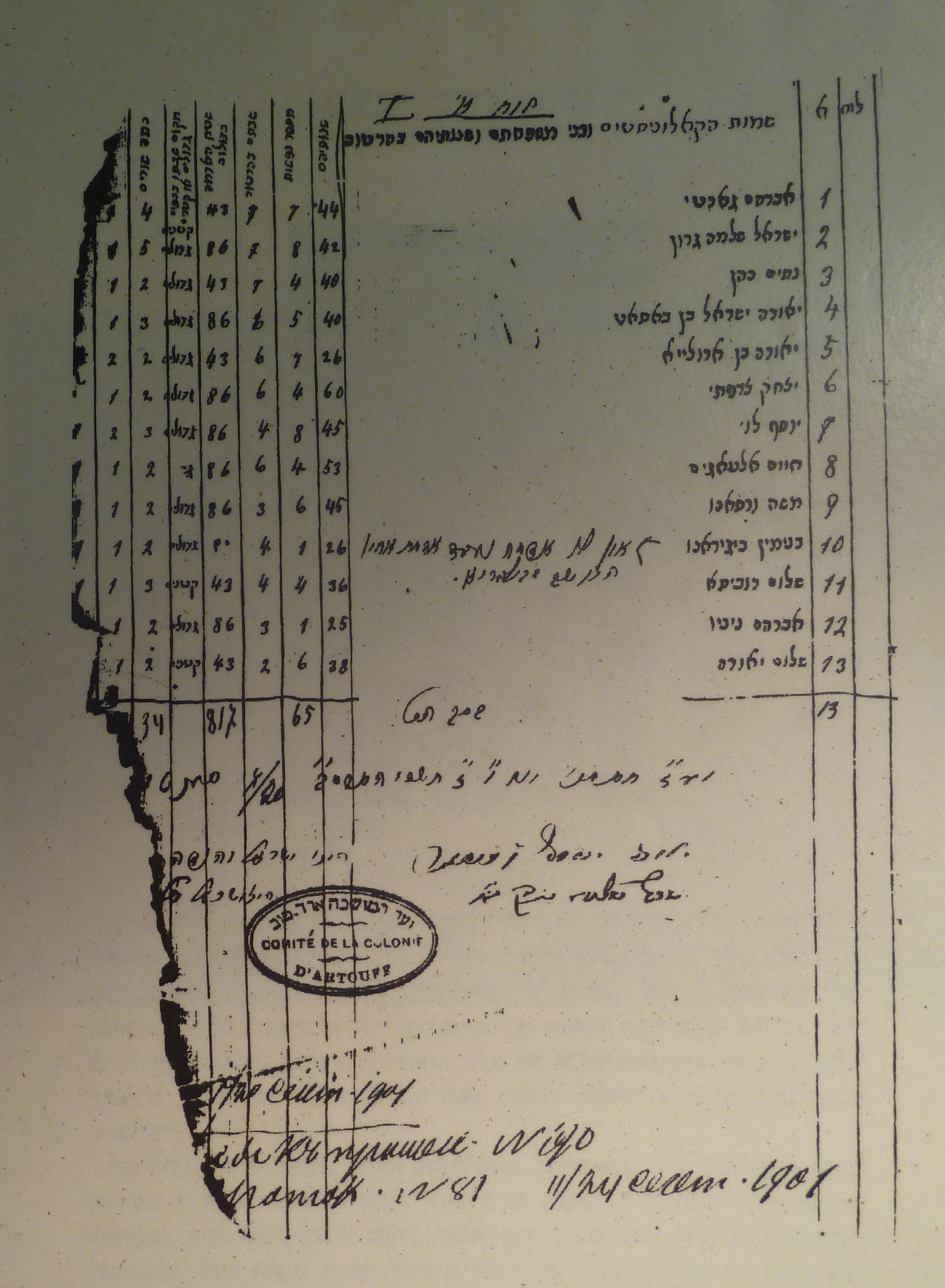
1901 Hartuv Ledger |
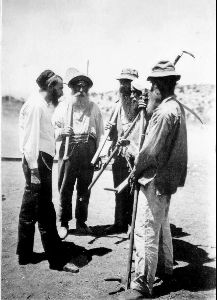
Chasids Talk With Rabbi, 1925 (Central Zionist Archive) |

Dentist (Central Zionist Archive) |

Woman & Child (Central Zionist Archive) |
|
Please contact Leah Haber Gedalia with your additions, questions, corrections, or comments! webmaster: richard L. baum |
|
This page is hosted at no cost to the public by JewishGen, Inc., a non-profit corporation. If it has been useful to you, or if you are moved by the effort to preserve the memory of our lost communities, your JewishGen-erosity would be deeply appreciated. |
|
KehilaLinks Home |
JewishGen Home
|
Created: 5 Mar 2018
Last Modified: 03-23-2018
Copyright © 2018 Leah Gedalia
All Rights Reserved.