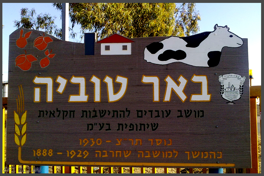
באר טוביה Coordinates: 31° 44' 9.78" N 34° 43' 25.81" E 
|
||
|
באר טוביה Coordinates: 31° 44' 9.78" N 34° 43' 25.81" E
|
||
| Home | Maps | The Fallen | Links | Census |
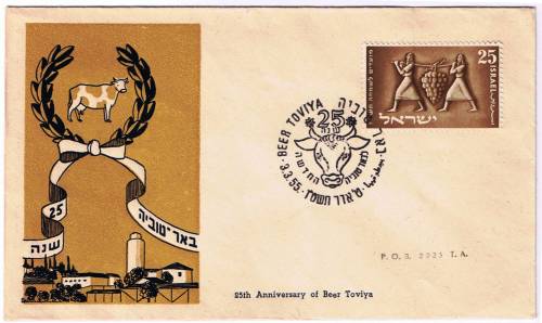
Stamp Dedicating 25th Anniversary |
||
|
|
|
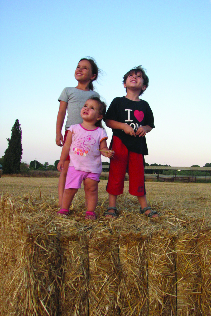
Hannah & Tzipora |
|
|
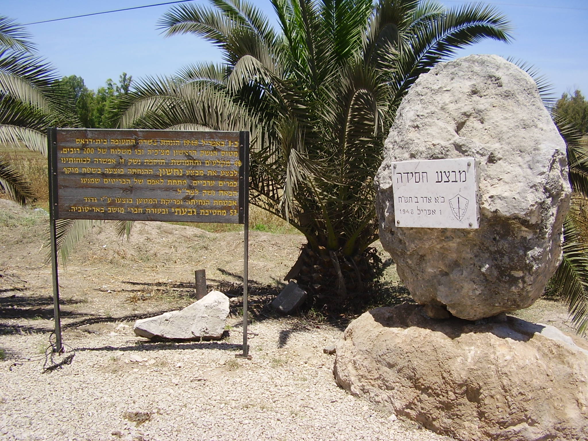
Site of Operation Stork |
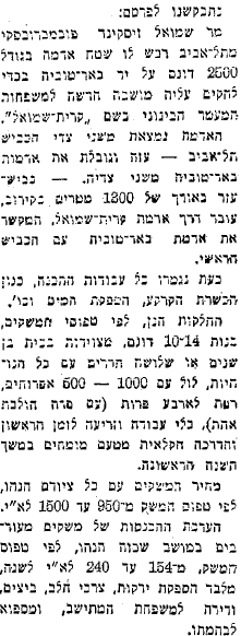
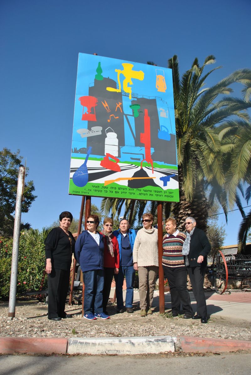
Purchase of New Moshav Lands |
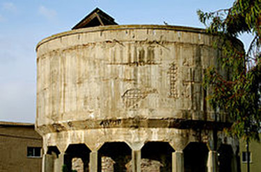
Water Tower |
Entrance (photo: Effi Elian) |
|
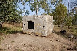
Secret Bunker |
British Mandatory Police Station (photo: Bukvoed) |
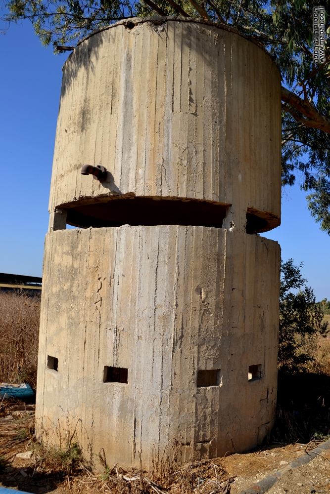
Pillbox (photo: Effi Elian) |
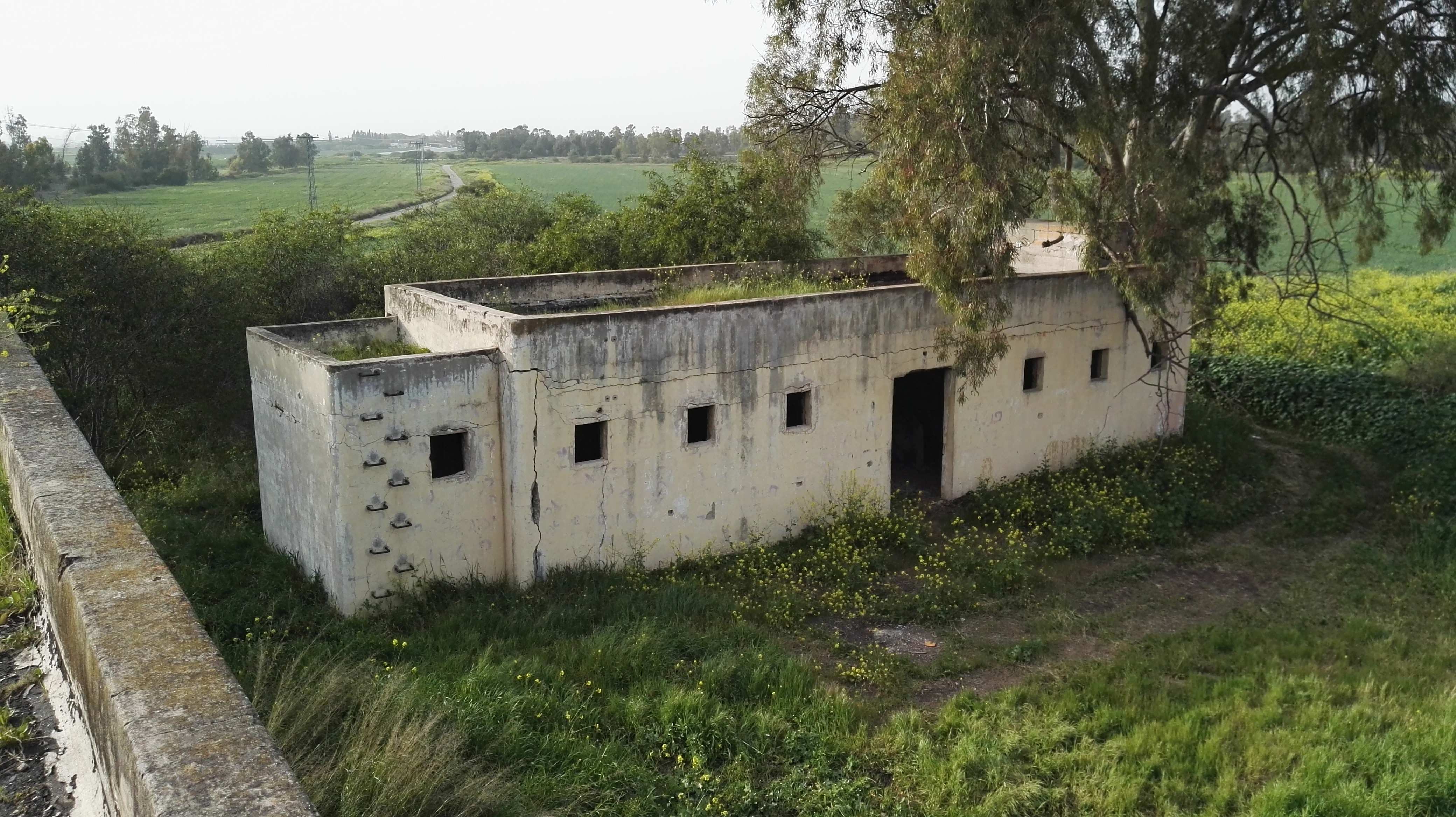
British Mandatory Police Station (photo: Bukvoed) |
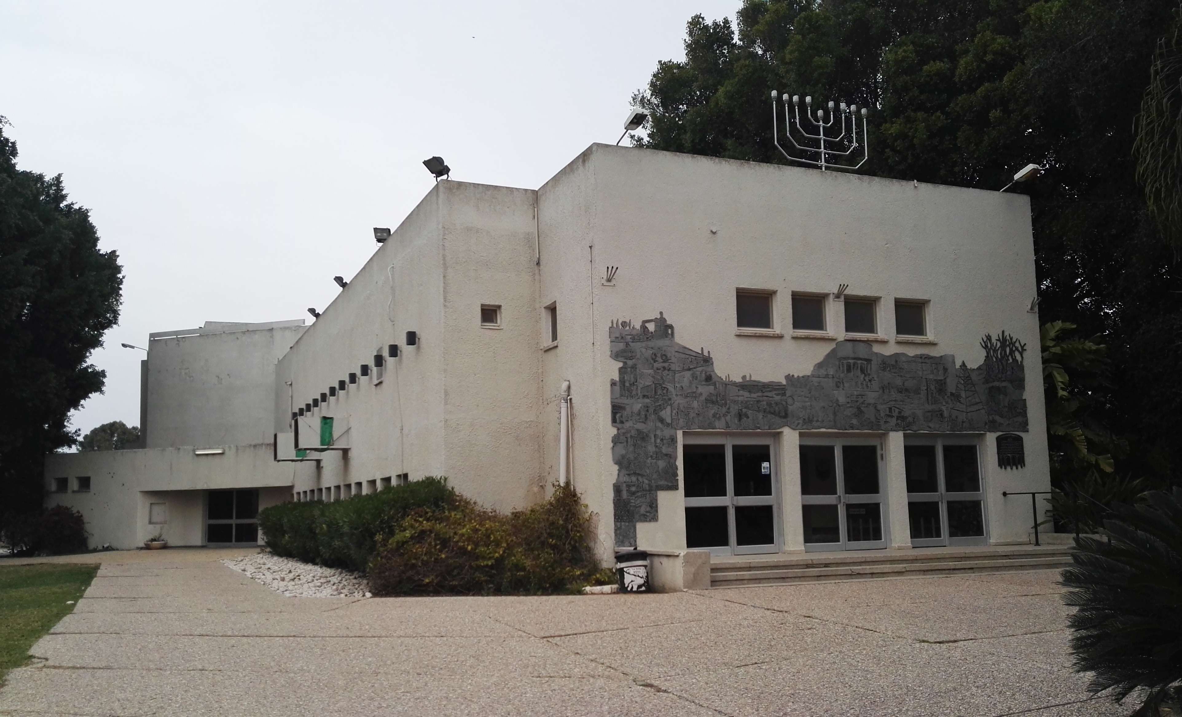
Synagogue (photo: Bukvoed) |
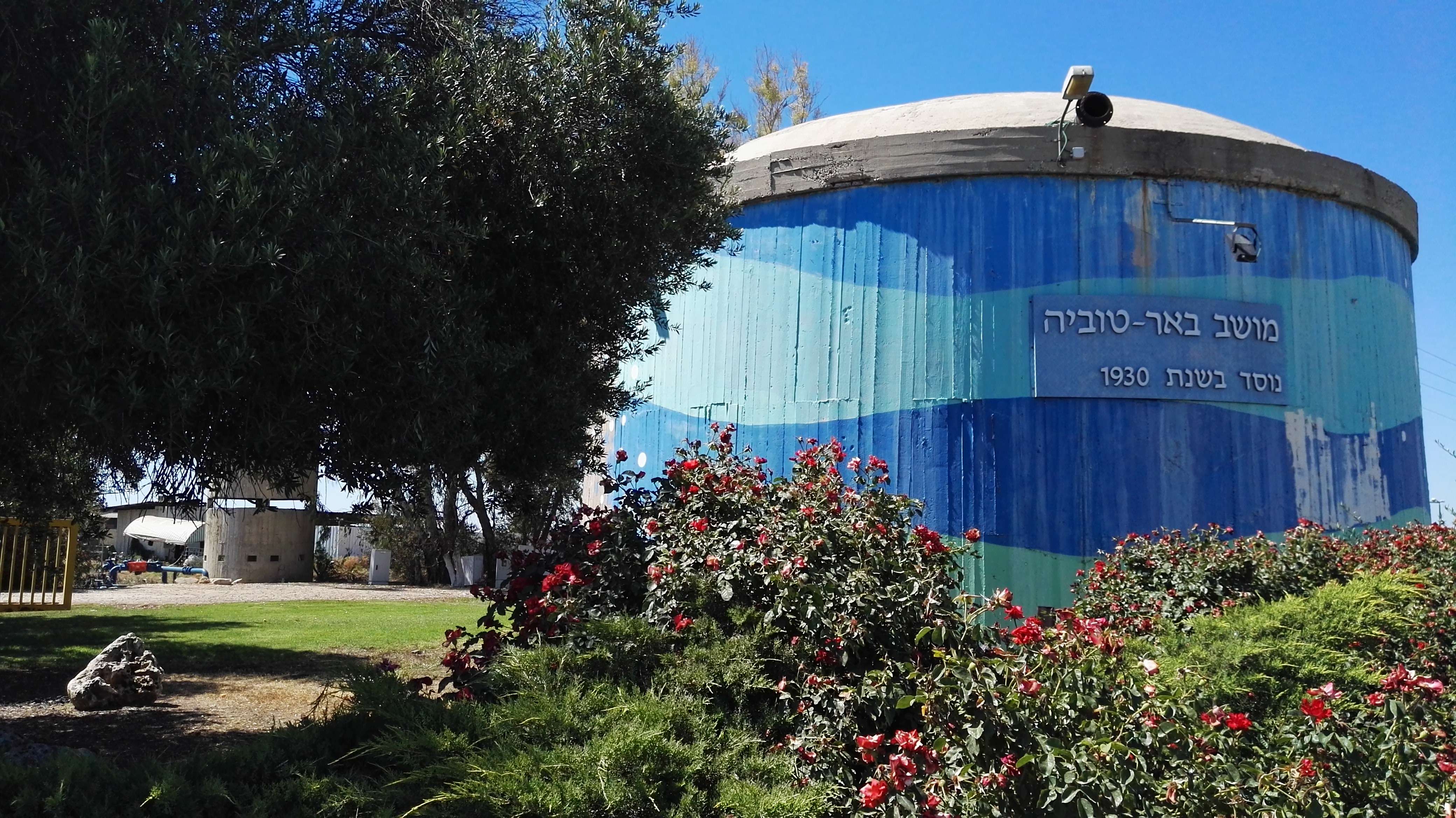
Blue Tower (photo: Bukvoed) |
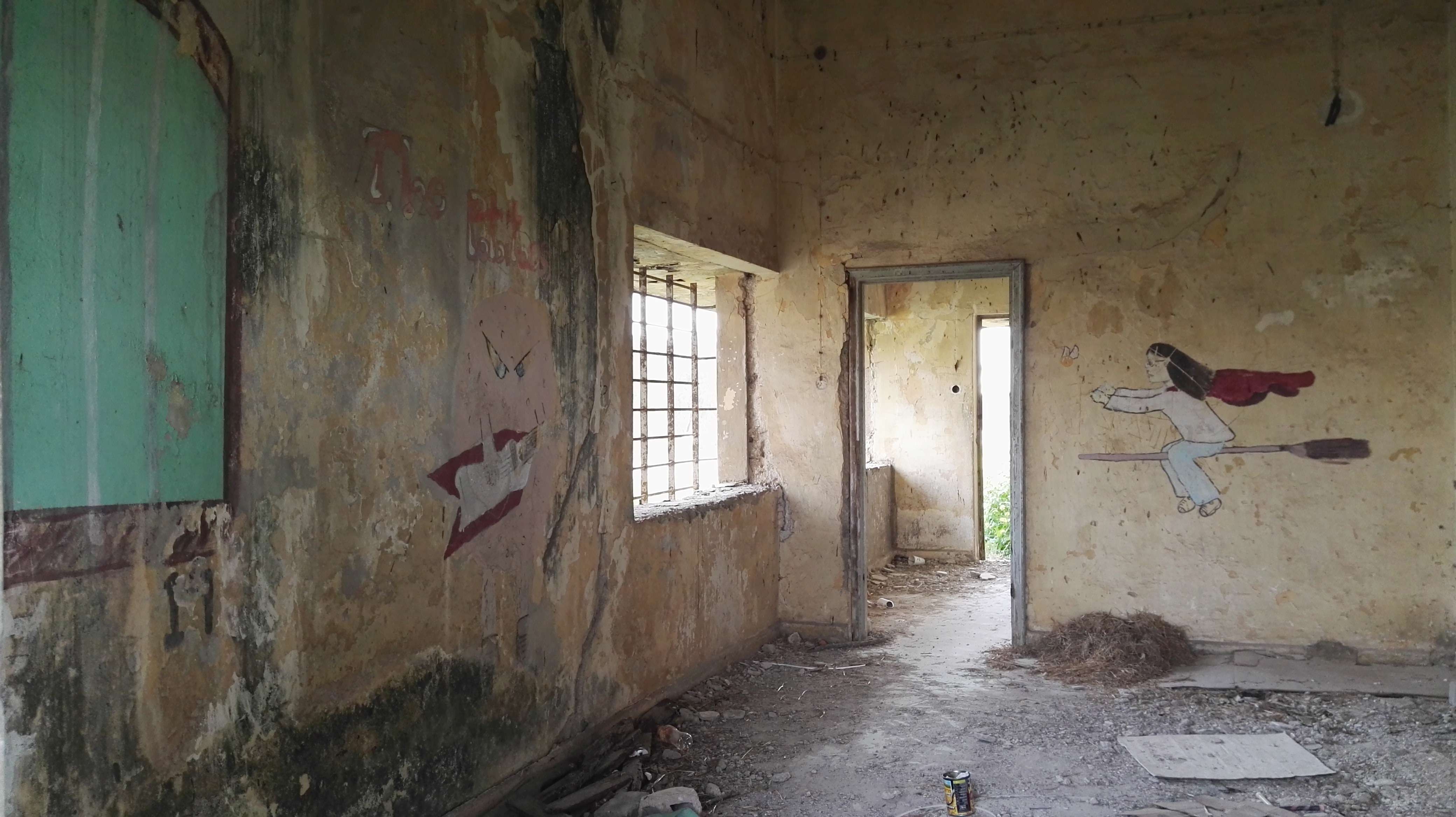
British Mandatory Police Station (photo: Bukvoed) |
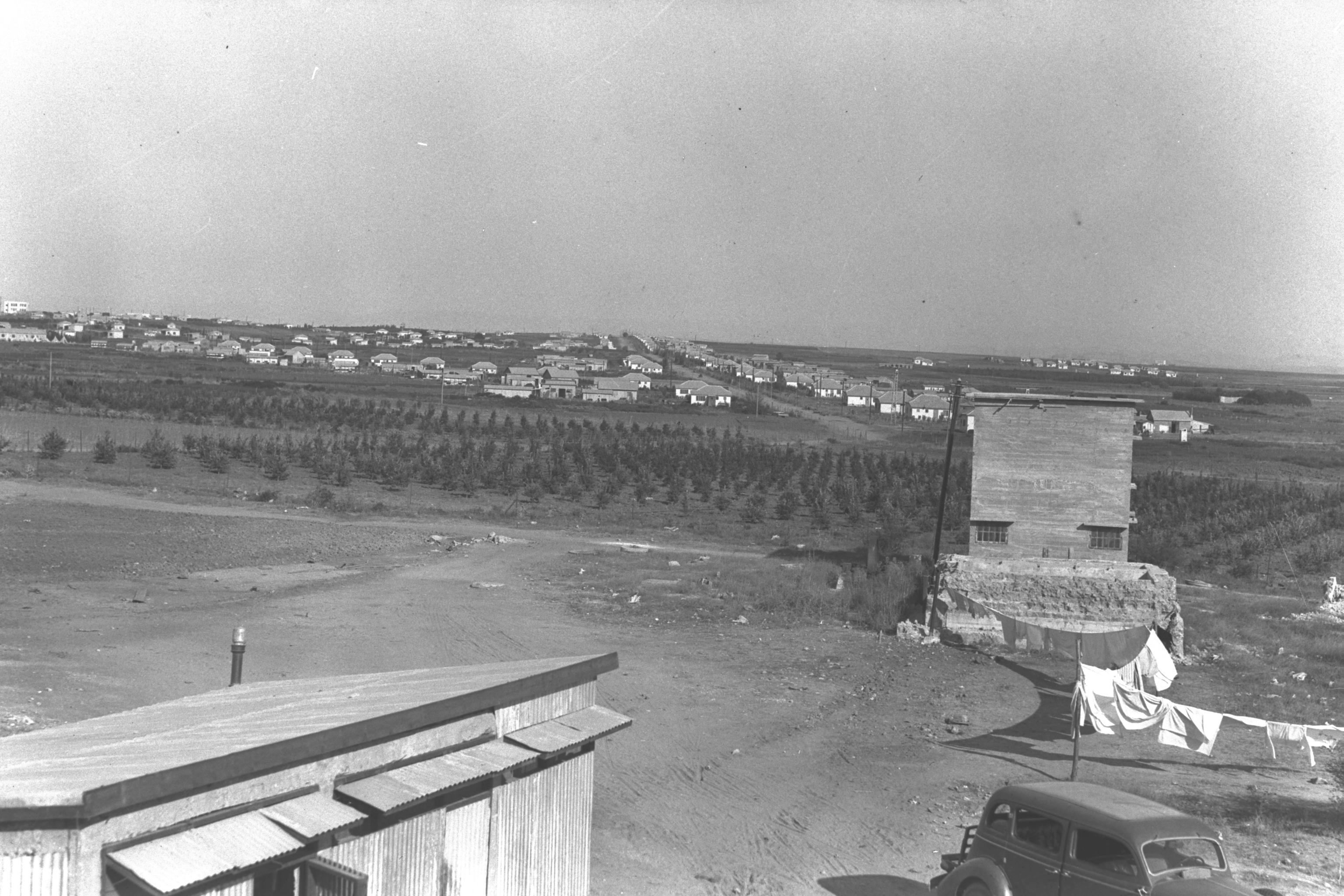
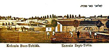
Moshava Be'er Tuvia |
||
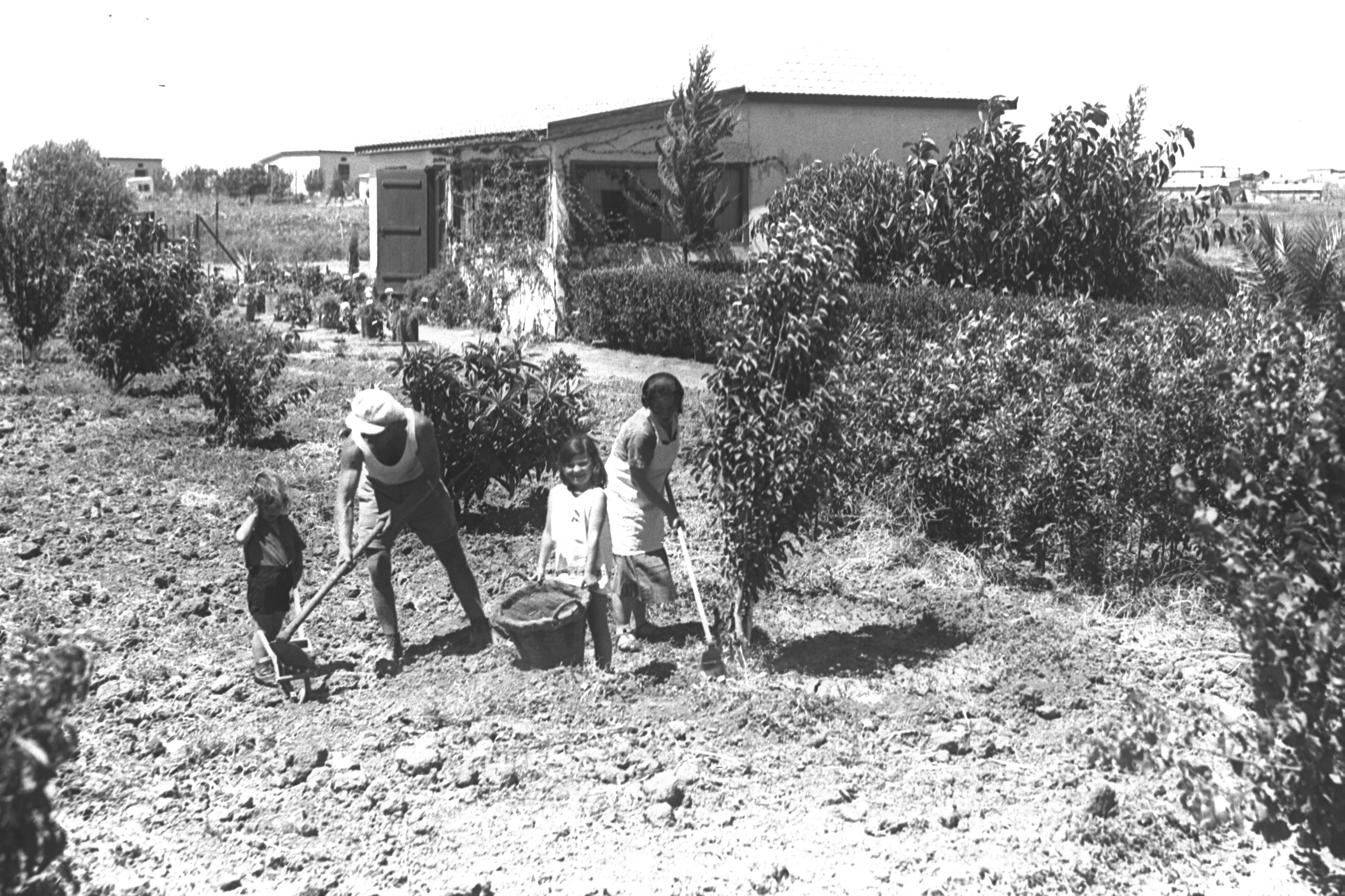
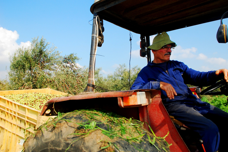
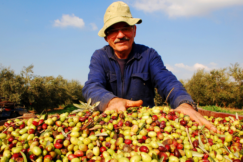
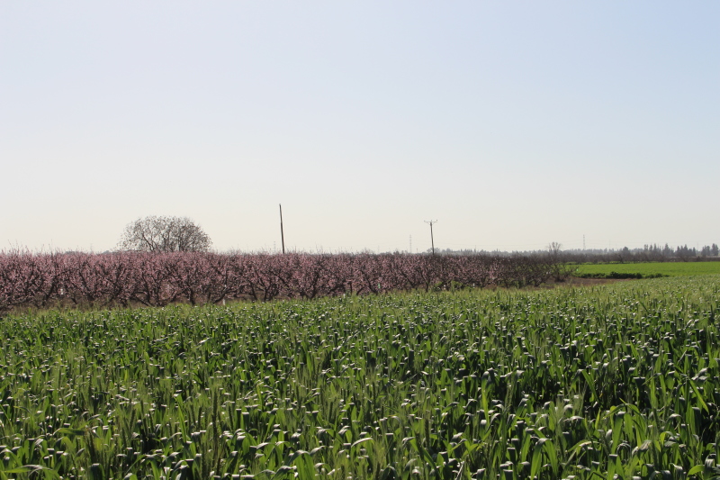
Farming A Fruit Orchard |
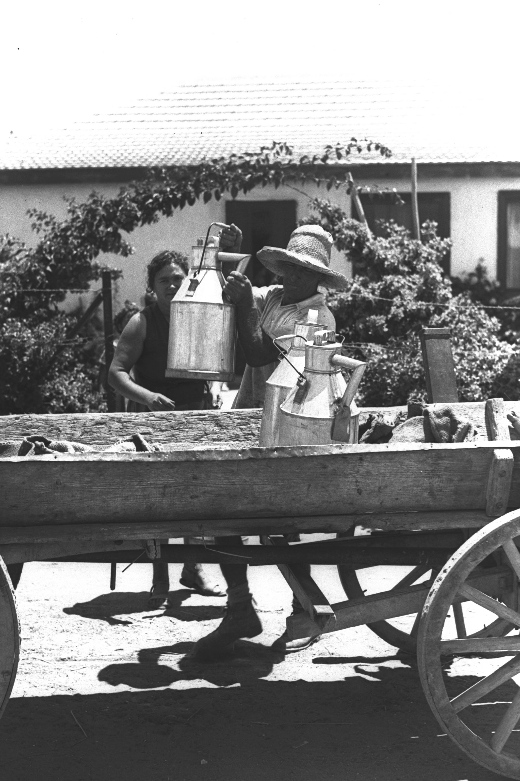
Loading Milk Cans |
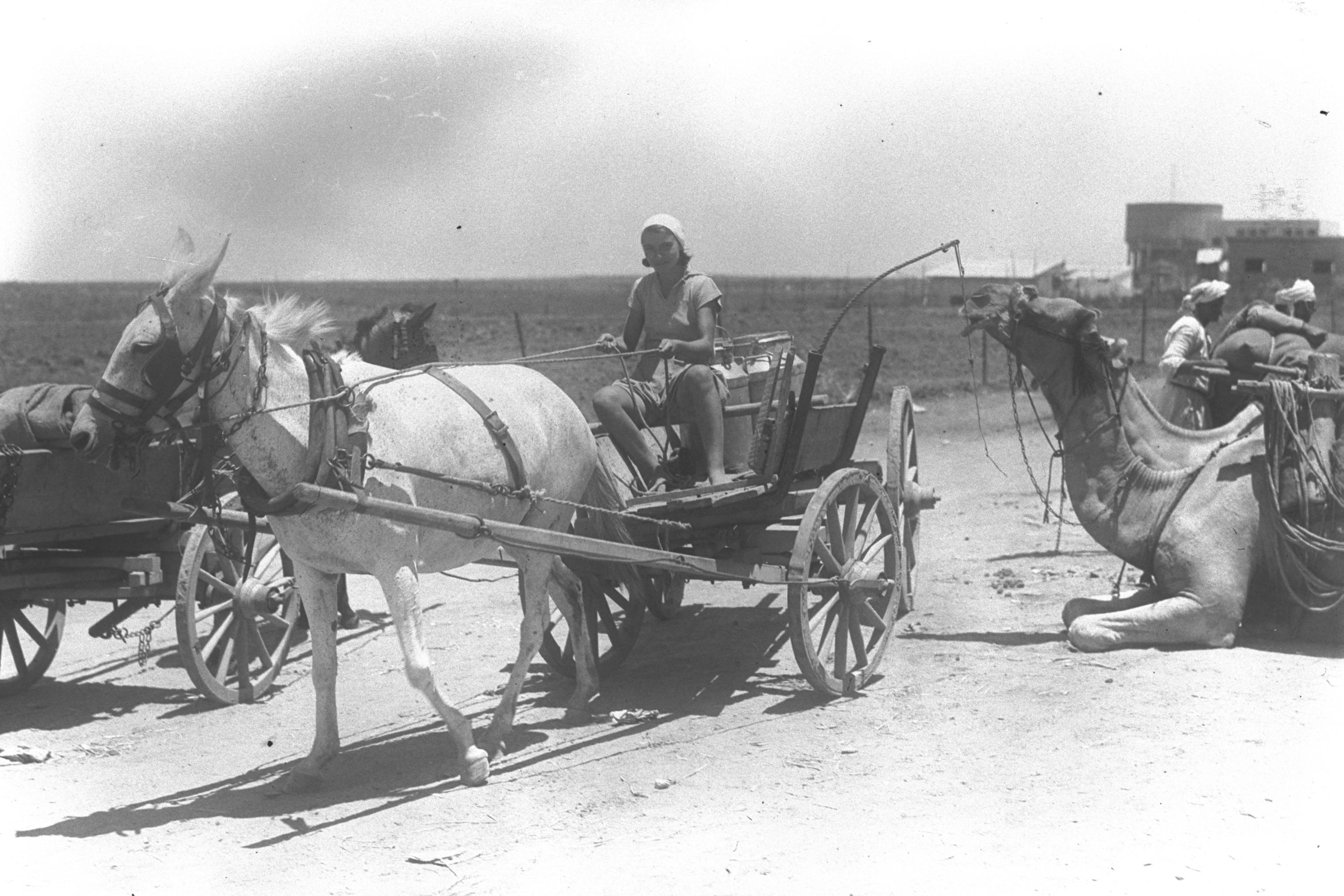
Carting Milk Cans |
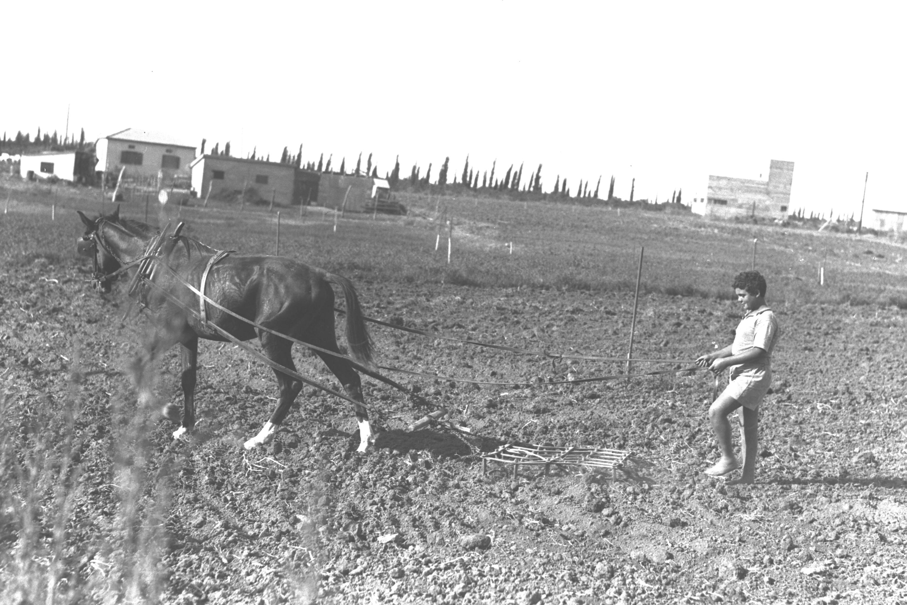
A Boy Working the Fields |
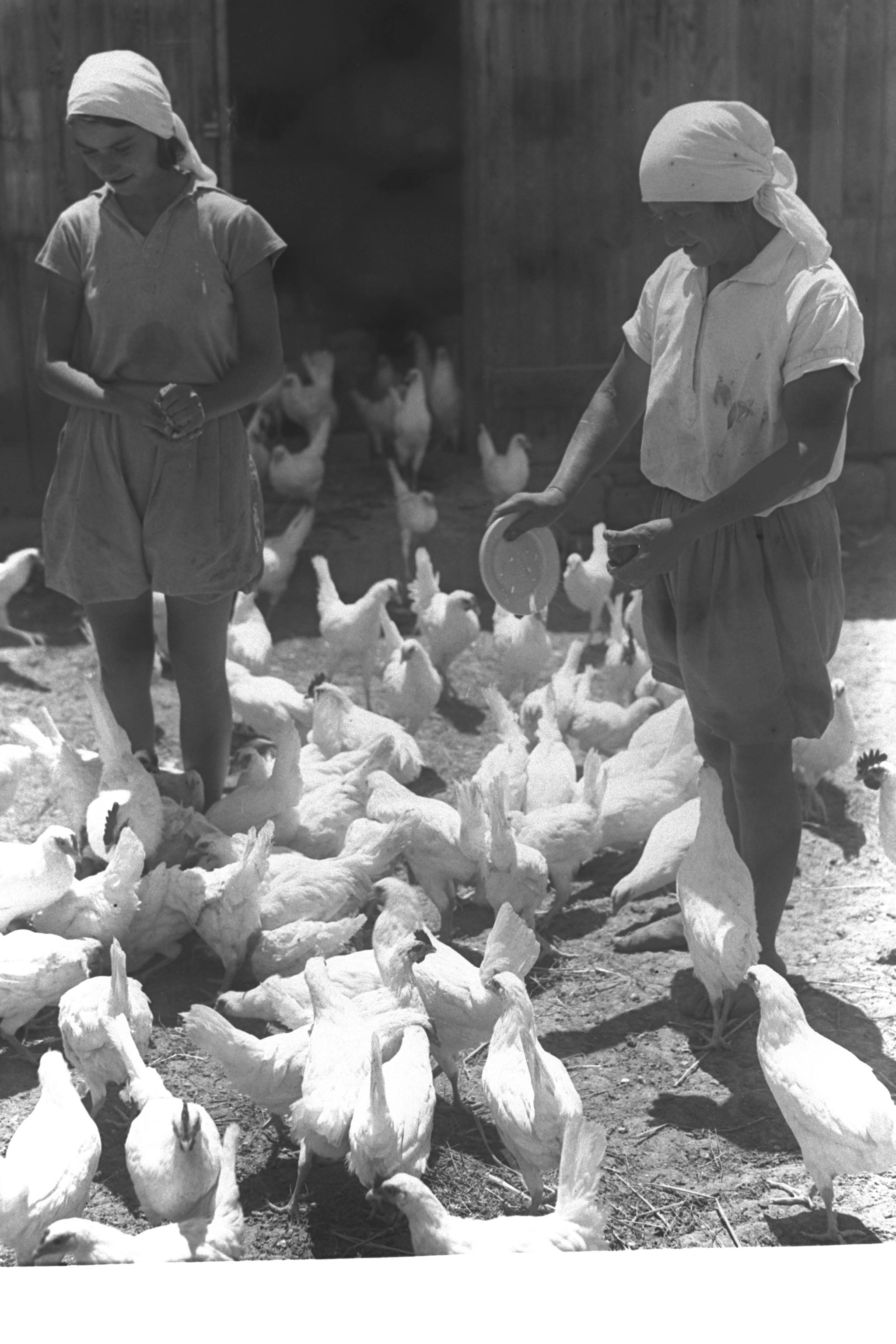
A Chicken Farm |
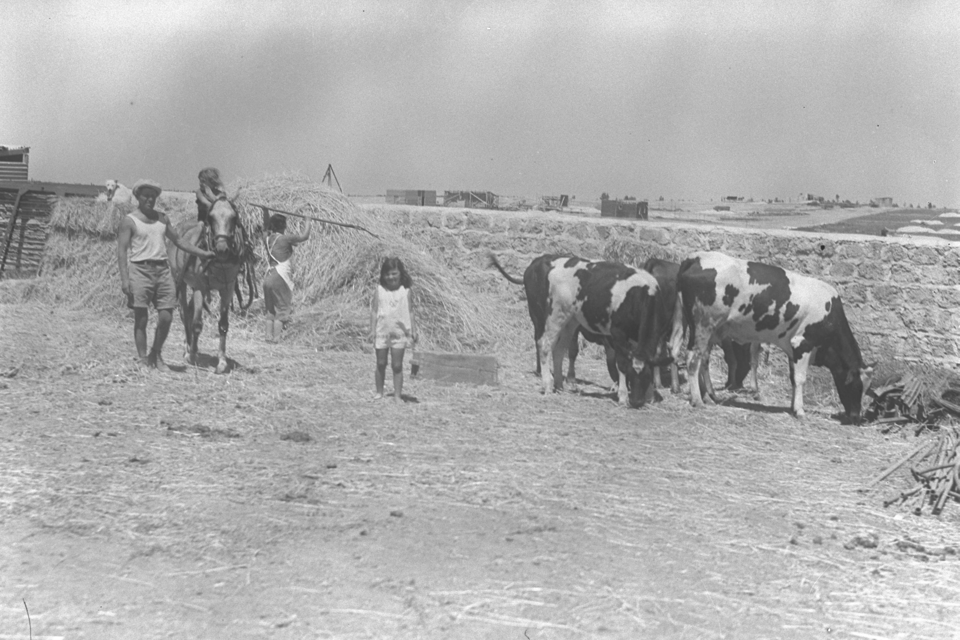
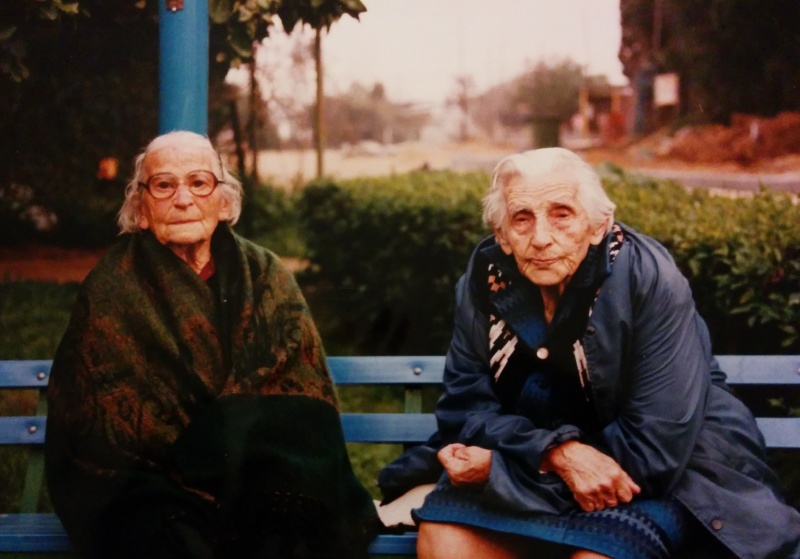
A Farmer's Family |
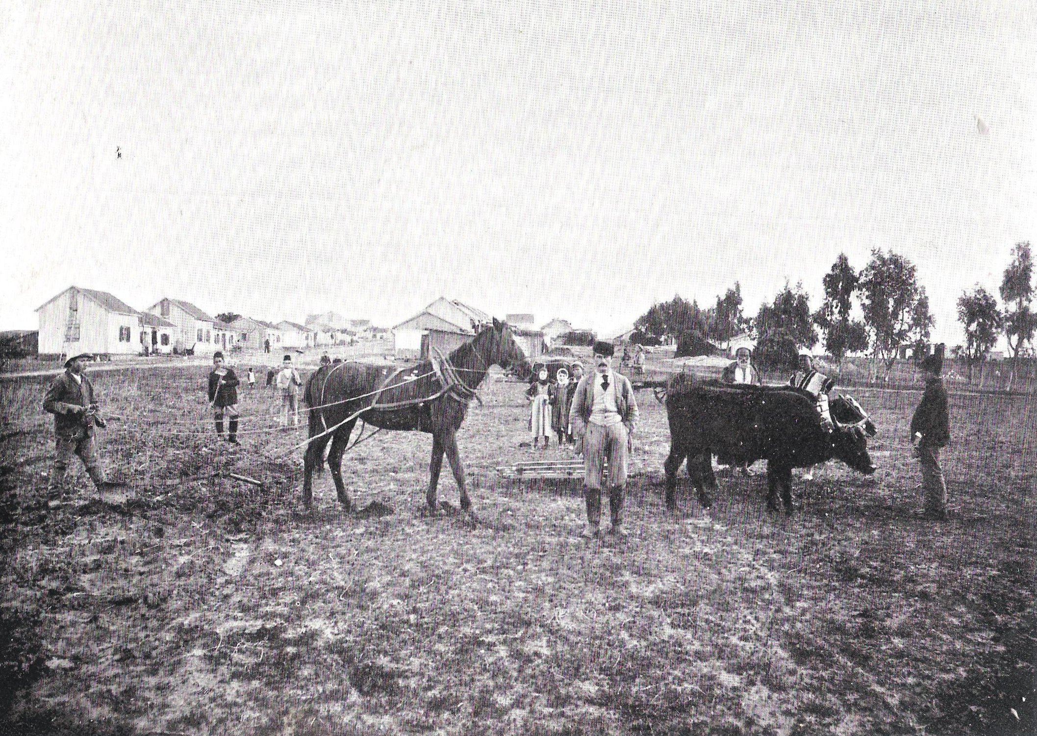
Be'er Tuvia Before 1899 |
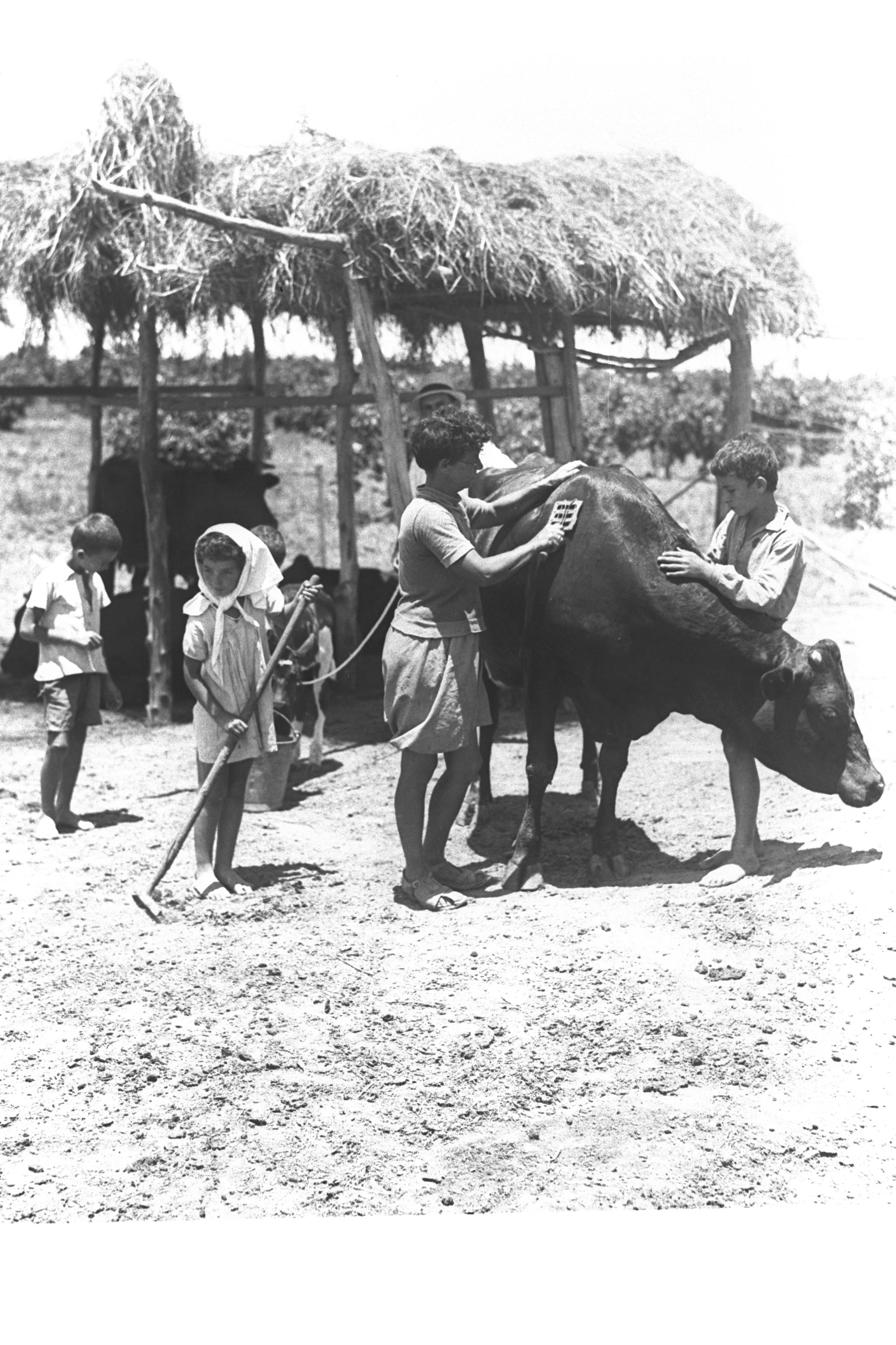
Children Brushing A Cow |
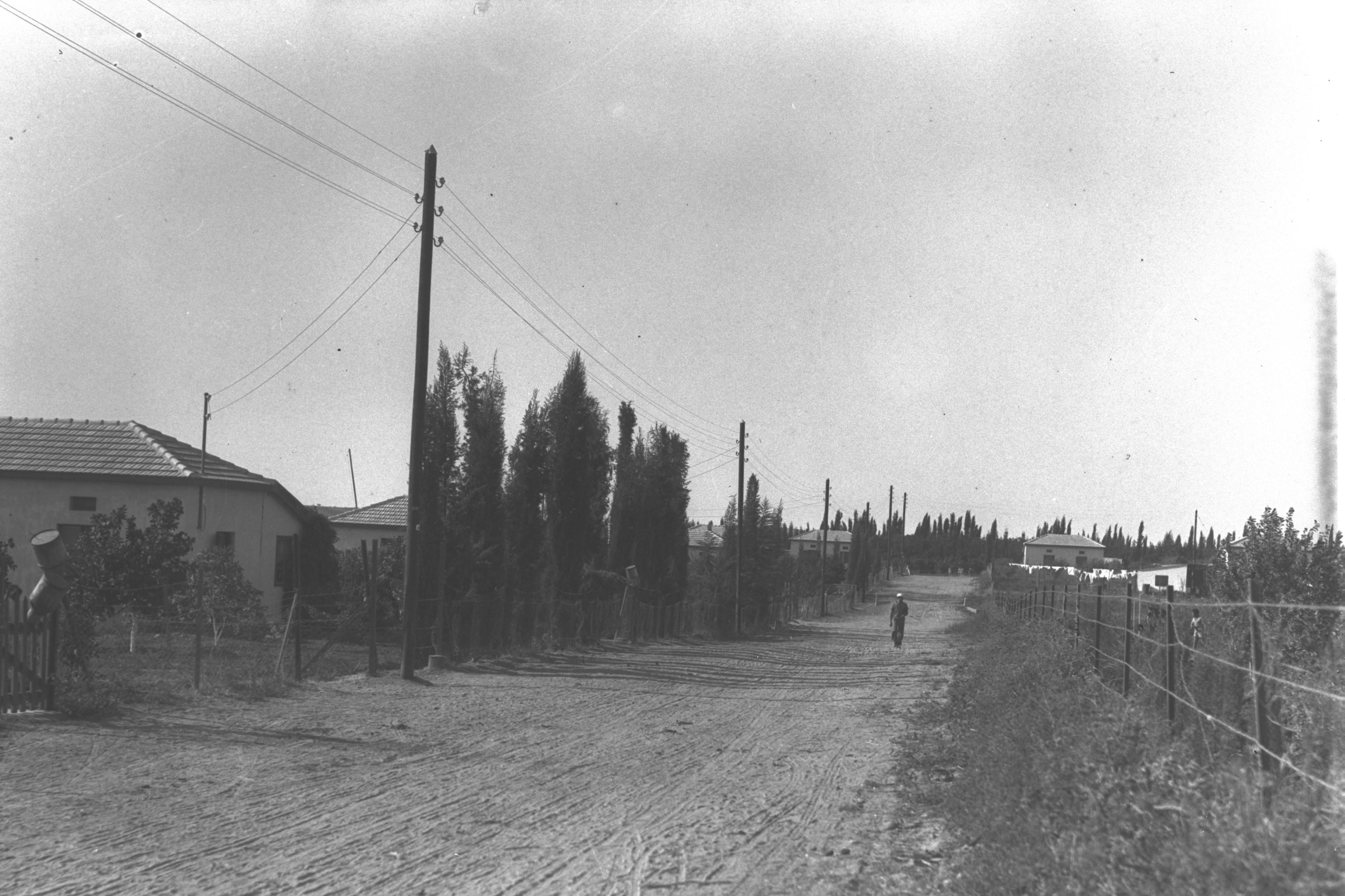
Village Street |
|
Please contact Leah Haber Gedalia with your additions, questions, corrections, or comments! webmaster: richard L. baum |
|
This page is hosted at no cost to the public by JewishGen, Inc., a non-profit corporation. If it has been useful to you, or if you are moved by the effort to preserve the memory of our lost communities, your JewishGen-erosity would be deeply appreciated. |
|
KehilaLinks Home |
JewishGen Home
|
Created: 18 Oct 2017
Last Modified: 05-19-2018
Copyright © 2017 Leah Gedalia
All Rights Reserved.