|
Raseiniai Kehila |
|
Raseiniai Where once we walked |
 |
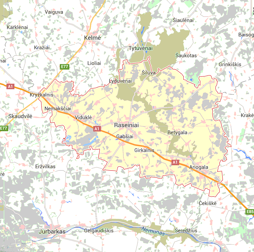
Region: Kovno Alternate names: Raseiniai [Lith], Rasayn [Yid], Rossieny [Rus], Raseinen [Ger], Rosienie [Pol], Russian: Россиены. wyysar-Yiddish, Raseiņi [Latv], Rasein, Raseyn, Raseinai, Rasseyn, Resein, Rossein Lat: 48° 29', Long: 22° 50' - Rasseiniai - (R)
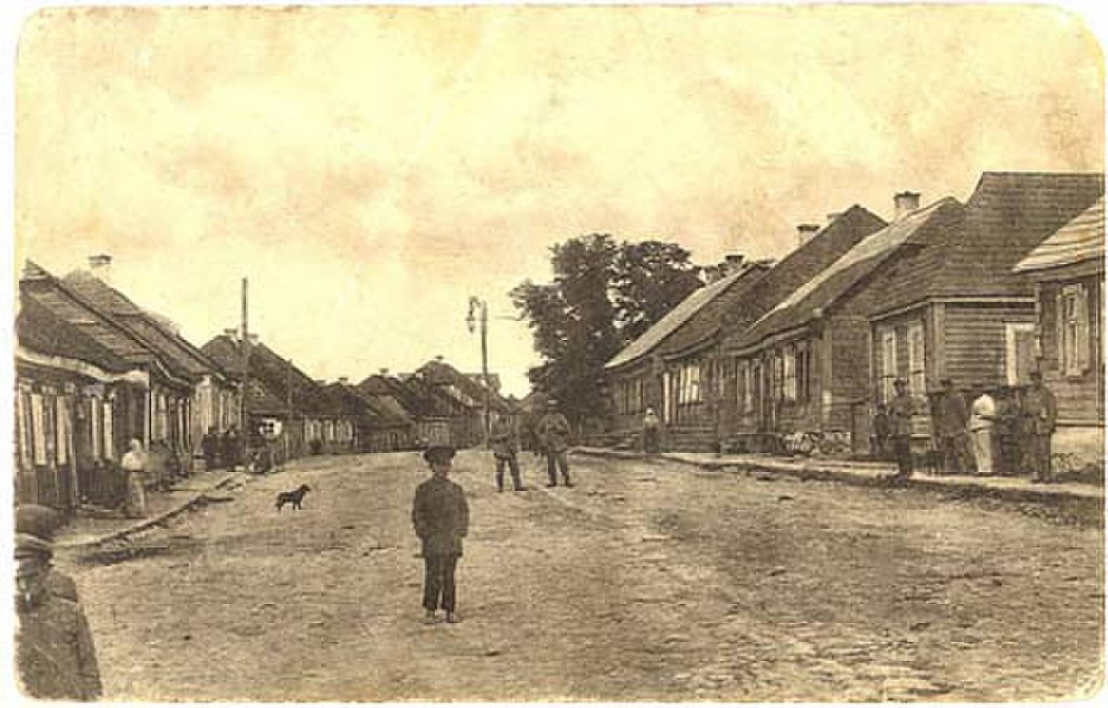
Where once we walked Niemokst Street, Raseiniai Circa 1908
Source www.vilnaghetto.com
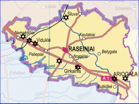
About Raseiniai:- The provincial capital of “Raseiniai,” or “Raseyn,” lies on the bank of the river Raseykah, 8 kilometers from the Dubysa, near the communities of Girtigula (10 km.), Namukesht (25 km.), Kolm (55 km.), and Shidlova (15 km.), and the nearest train station in Shilovka is 12km. There were were no paved roads leading to Raseyn until the Kovno-Raseyn-Memel highway was built in 1936. Raseyn is one of the oldest cities in Lithuania and appears in records of the 13th and 14th centuries under different names, including Rushigen, Rossyen, and Rasseyne. In 1253 Prince Mindaugas ceded one part of the Zamut territory, including some of the district around Raseyn, to the Livonian Order of Christian knights, and the rest to the first bishop of Lithuania, Kristyan. From this area the Livonian order began to spread Christianity, and this led to bloody warfare in the area. The Jewish community of Raseyn was among the first to be established in Lithuania, and the city became known as the Jerusalem of Zamut. Jews continued to settle there in large numbers throughout the 17th century. In 1842 the city had 7,455 inhabitants, the majority of whom were Jews. By 1897 the number of Jewish inhabitants reached 9,000 (90% of the general population). Their number decreased after WWI. In 1926 only 2,226 Jews lived in Raseyn, and in 1939, about 2,000 (40% of the general population). The Jews lived mainly by means of commerce. There were 25 handworkers and a few farmers. Besides two flour mills and a sawmill (owned by Perlov and Kagan), the city had no industry, and most Jews lived from the market days (Monday and Thursday). In 1929 504 members belonged to the Jewish popular bank. There were about 10 synagogues in the town, among them the “big” synagogue and house of study, as well as the congregations called, “The Khosid,” “The Life of a Human Being,” “Eyn Yakov,” and “The Hatmakers'.” For more of the history of the village see our page on history.
This map shows the 7 Uyezds (Districts) of Kovno Guberniya (Province) in the 19th Century.
This page is hosted at no cost to the public by JewishGen, Inc., a non-profit corporation. If it has been useful to you, or if you are moved by the effort to preserve the memory of our lost communities, your JewishGen-erosity would be deeply appreciated.
|
|
|
|
HOME
|
|
|
Compiled
by
Other Links KehilaLinks Home Page http://kehilalinks.jewishgen.org Link to JewishGen
This page is hosted at no cost to the public by JewishGen, Inc., a non-profit corporation. If it has been useful to you, or if you are moved by the effort to preserve the memory of our lost communities, your JewishGen-erosity would be deeply appreciated.
|


