|
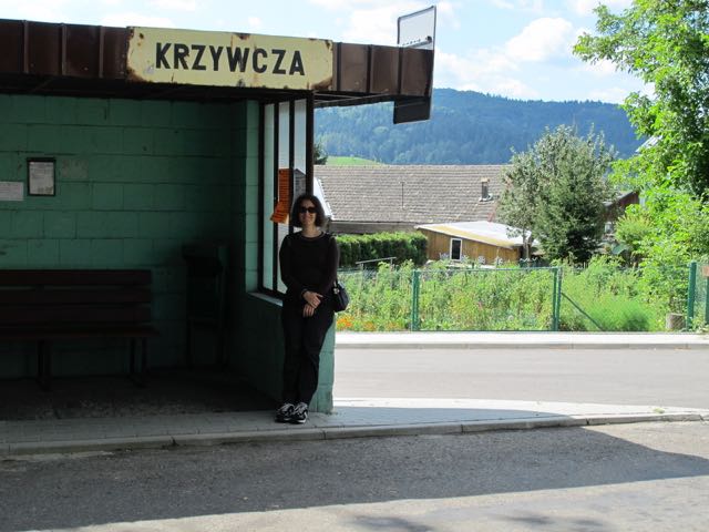
Krzywcza קשיוצ'ה Poland Maps and Gazetteers  Krzywcza is in southeastern Poland on the San River just ten miles west of Przemyśl on route 884, an east-west road from Przemyśl to Domaradz that also passes through Dubiecko. It is the seat of the Gmina Krzywcza, a rural administrative district in Przemyśl County (Powiat Przemyski), Subcarpathian Province (Podkarpackie Voivodeship). Before World War I Krzywcza was in western Galicia in the Austrian Empire. Between World War I and World War II, it was in Poland in the Przemyśl District in the province of Lwów. ****
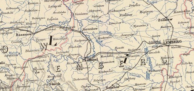
AUSTRIAN EMPIRE: GALICIA  Detail
of Map from the David Rumsey
Historical Map Collection,
Austrian Empire [Galicia]. Engraved by J. & W.W. Warr, published by H.S. Tanner, Philadelphia, 1836. Image copyright © 2010 by Cartography Associates, licensed under a Creative Commons License ****
Detail
(main route from Rzeszow to Lemberg, as
well as route from Dukla to Przemysl)
 Detail of Map
from the David
Rumsey Historical Map Collection
Austro-Hungarian Monarchy (eastern sheet), Keith Johnston, F.R.S.E. Keith Johnson's General Atlas. Printed and Published by W. & A.K. Johnston, Edinburgh & London, (1879) Image copyright © 2006 by Cartography Associates, licensed under a Creative Commons License. ****
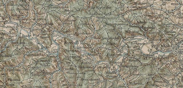 3rd
Military Mapping Survey of
Austria-Hungary,
c1910, detail.
Krzwczya (on the San River): 10 miles west of Przemysl and 8 miles east of Dubiecko ****
Compiled by Joy
Kestenbaum (jkestenb@gmail.com)
Last updated November 2016 Copyright © 2016 Joy Kestenbaum Jewish Gen Home Page | KehilaLinks Directory This
site is hosted at no cost by JewishGen,
Inc., the Home of Jewish Genealogy. If you
have been aided in your research by this
site and wish to further our mission of
preserving our history for future
generations, your JewishGen-erosity
is greatly appreciated.
|