חדרה Coordinates: 32° 27' 00" N 34° 55' 00" E 
|
||
|
חדרה Coordinates: 32° 27' 00" N 34° 55' 00" E
|
||
| Home | Maps | Links | Census |
(click photos to enlarge) |
||
|
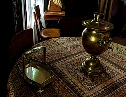
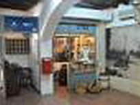
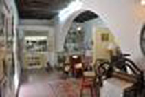
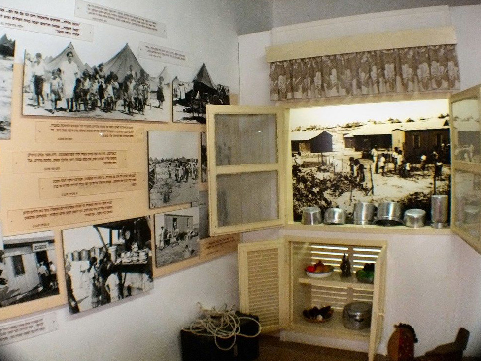
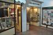
Khan (Roadside Inn) Museum contains Hedera's archives, historical records, and exhibitions illustrating the city's history. The museum has period rooms designed in the styles that existed in Hedera from its earliest days in the 1890's to 1920. A typical living room in pre-independence Israel is among the exhibits, as is such an exhibit from the early years of Independence. The museum also has an outdoor exhibition area that contains gardens, an olive oil press, a smithy workshop, and a 1917 tombstone. Also situated on the museum grounds is Hadera's Central Synagogue, which was used as a fort during the early years of the town to protect the settlers from Arab attacks. |
||
|
|
|
|
|
|
|
| ||
|
Please contact Leah Haber Gedalia with your additions, questions, corrections, or comments! webmaster: richard L. baum |
|
This page is hosted at no cost to the public by JewishGen, Inc., a non-profit corporation. If it has been useful to you, or if you are moved by the effort to preserve the memory of our lost communities, your JewishGen-erosity would be deeply appreciated. |
|
KehilaLinks Home |
JewishGen Home
|
Created: 14 Dec 2017
Last Modified: 05-19-2018
Copyright © 2018 Leah Gedalia
All Rights Reserved.