(click photos to enlarge)
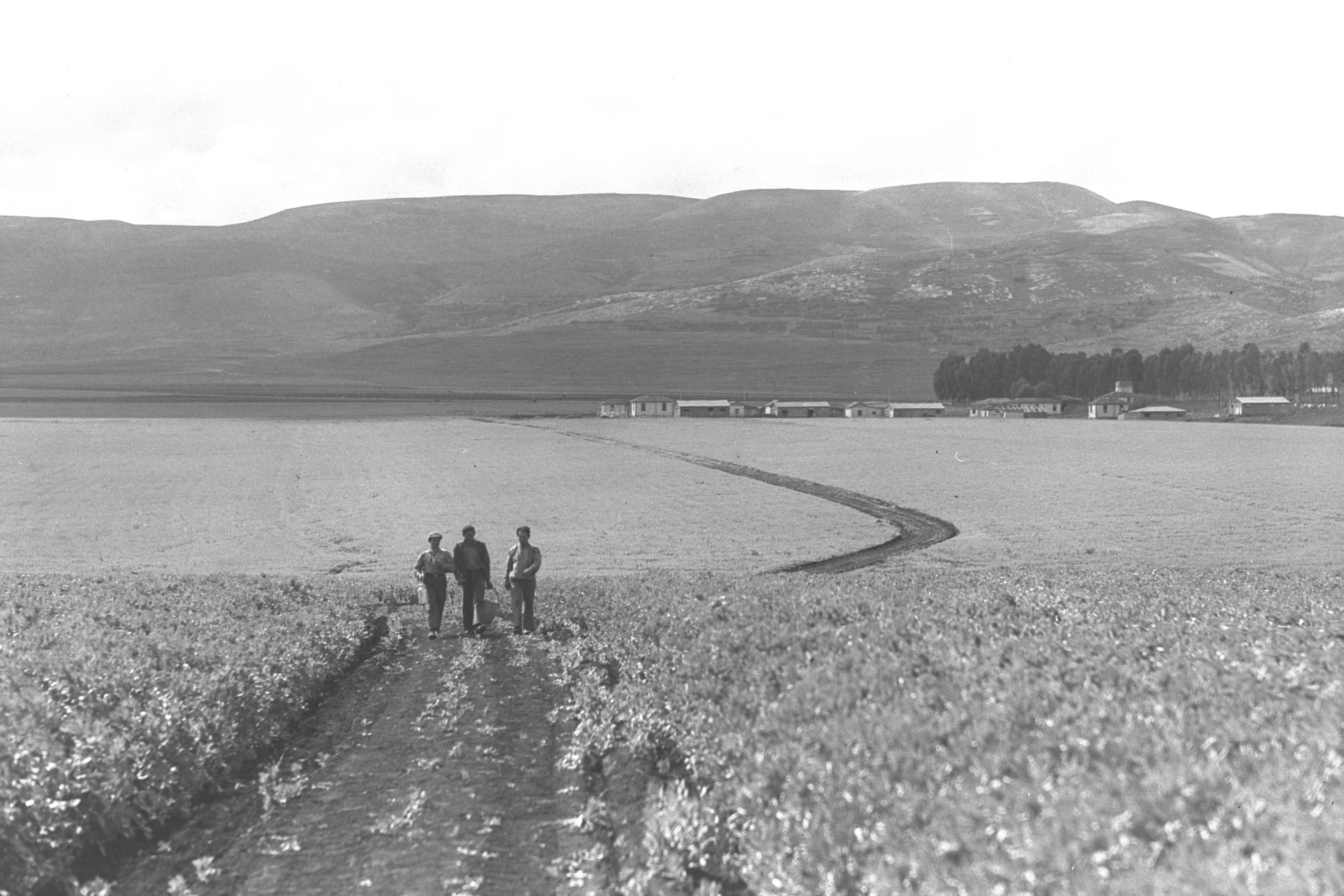
Fertile Fields, 1939
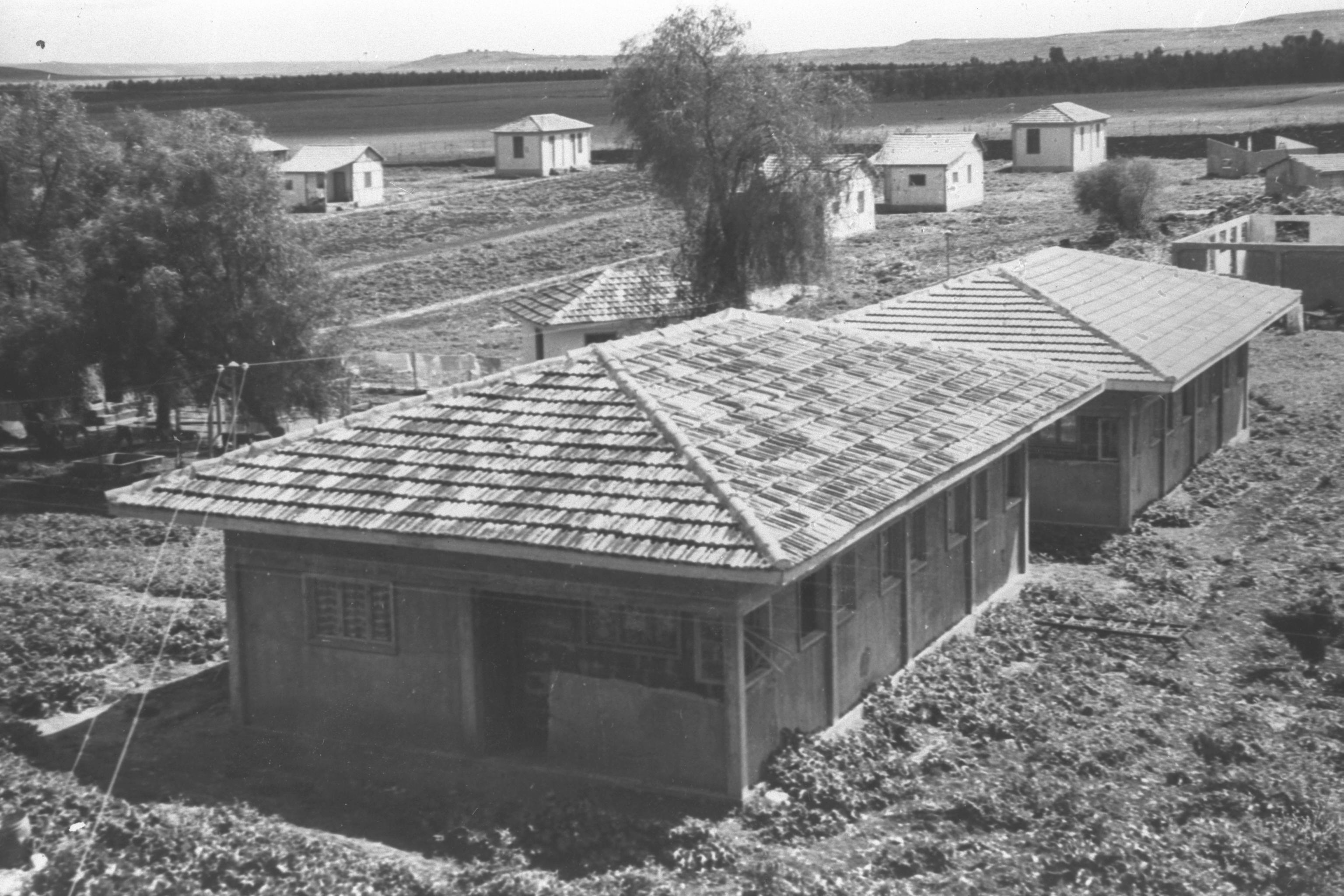
Mahanayim Kibbutz
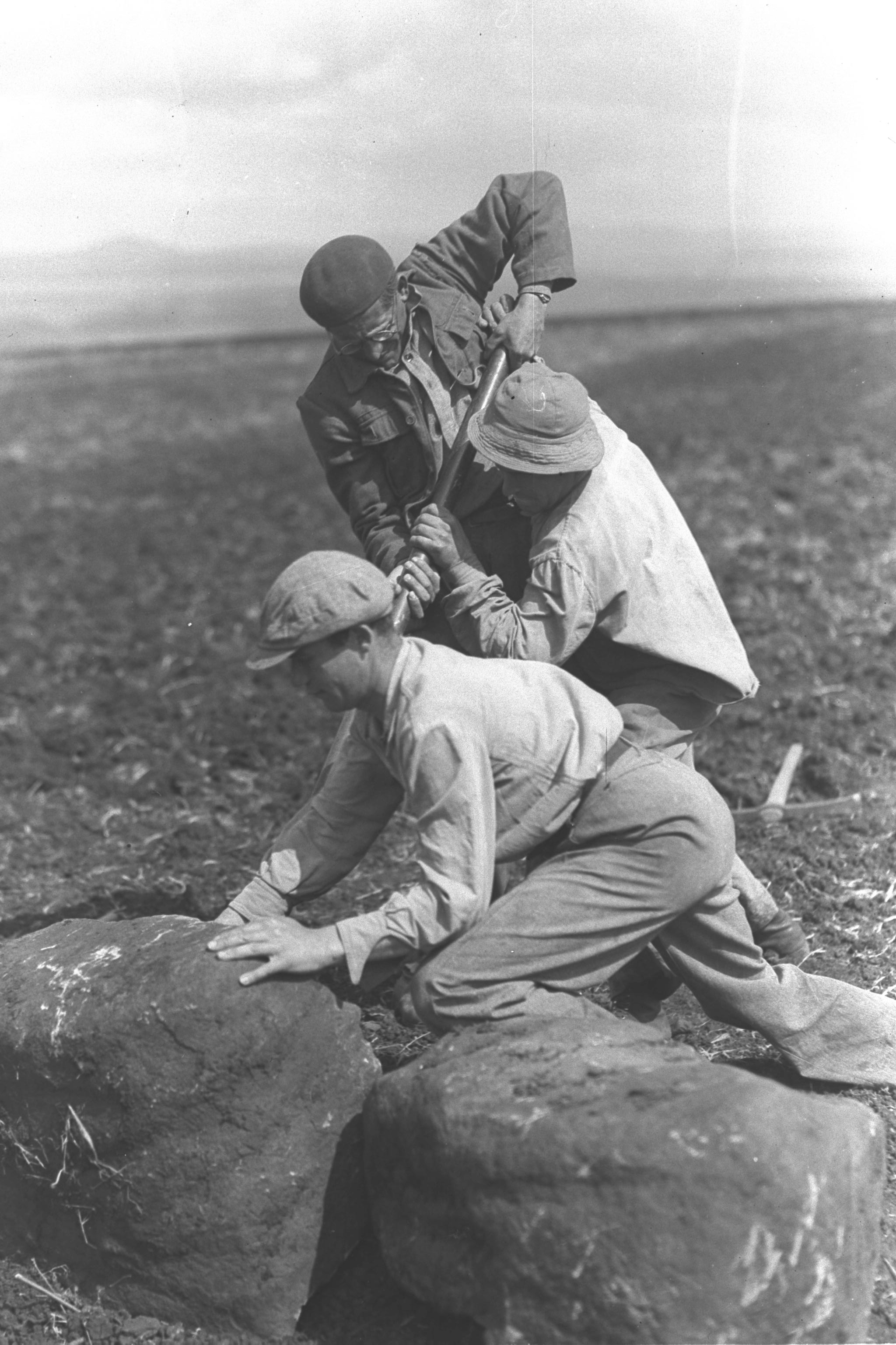
Removing Boulders
From A Field
Mahanayim Kibbutz
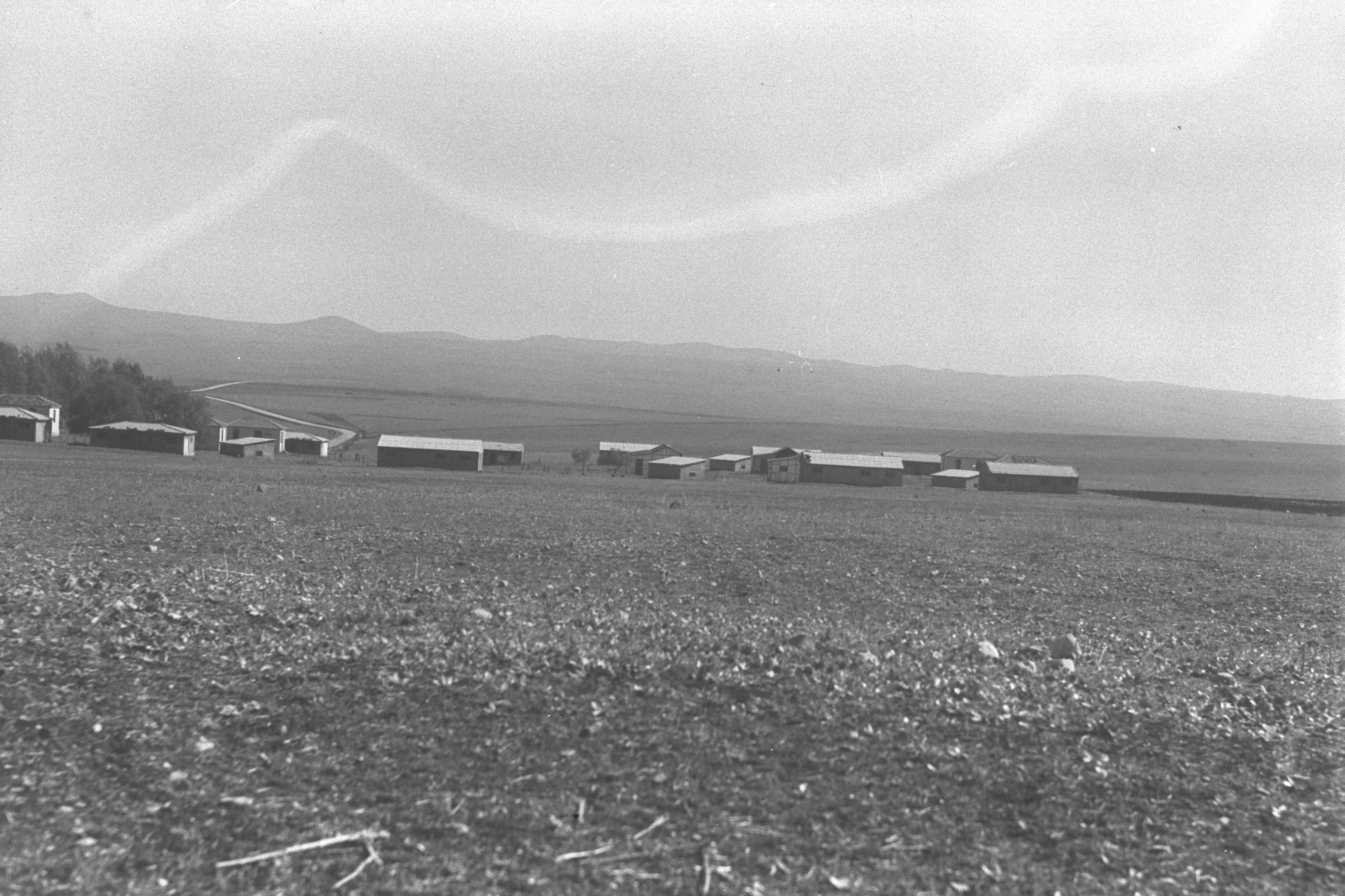
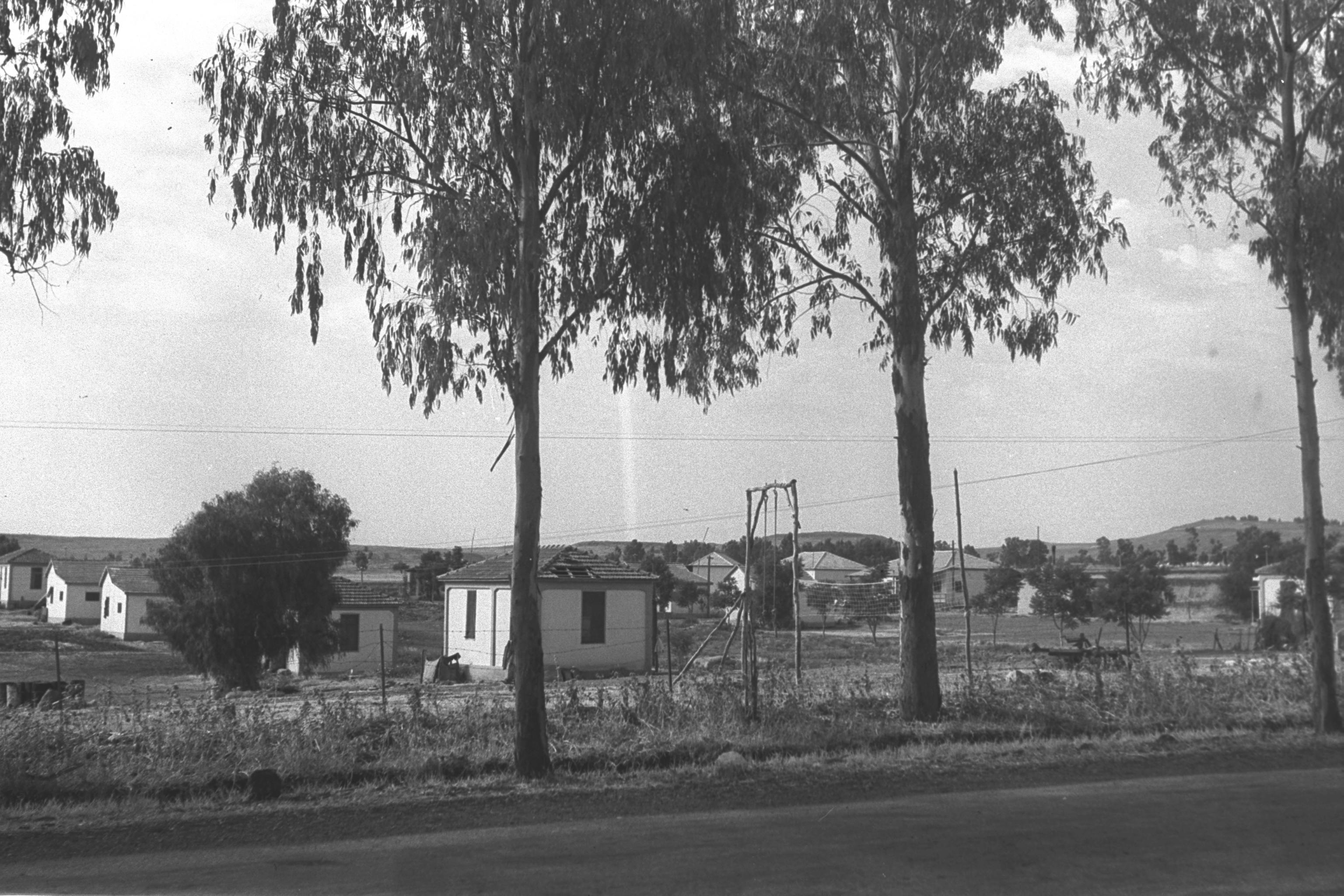
The Abandoned Settlement
1899 Article, HAZFIRA Journal

מחנים Coordinates: 32° 59' 21.48" N 35° 34' 13.08" E 
|
||
| Home | Maps | Links | Census |
|
Please contact Leah Haber Gedalia with your additions, questions, corrections, or comments! webmaster: richard L. baum |
|
This page is hosted at no cost to the public by JewishGen, Inc., a non-profit corporation. If it has been useful to you, or if you are moved by the effort to preserve the memory of our lost communities, your JewishGen-erosity would be deeply appreciated. |
|
KehilaLinks Home |
JewishGen Home
|
Created: 20 June 2018
Last Modified: 06-26-2018
Copyright © 2018 Leah Gedalia
All Rights Reserved.