The International Jewish Cemetery Project: Kamennyy Brod
International Jewish Cemetery Project
Submitted by Leonid Kogan
KAMENNIY BROD I: US Commission No. UA05070101
Alternate names: Kamennyy Brod (German), Kameny Brod (Hungarian) and Kammeny Brod (Czech).
Kamenniy Brod is located in Zhitomirskaya at 50º28 28º57, 124 km from Zhitomir, 23 km from Baranovka,
28 km from Novograd-Volinskiy, 110 km from Zhitomir and 114 km from Kiev. Present town population is
1,000-5,000 with fewer than 10 Jews. --Town officials: Budnitskiy Semen of Kamenniy Brod.
The earliest known Jewish community was 1897. Effecting Jewish Community: 1919 pogrom. The
Jewish cemetery was established in 1919 with last known Hasidic burial 1993. Dovbish (15 km away) used
this unlandmarked cemetery. The isolated flat land and "other" has no sign or marker. Reached by "other,"
access is open to all. A continuous fence with gate that locks surrounds site. 101 to 500 stones, all in
original location with less than 25% of surviving stones toppled or broken, date from 1919. Location of any
removed tombstones is unknown. The cemetery has special sections for men and women. Some
tombstones have portraits on stones, and/or metal fences around graves. The cemetery contains marked
mass graves. The property is used for Jewish cemetery only. Adjacent properties are residential. The
cemetery boundaries are unchanged since 1939. Rarely, local residents visit. The cemetery was not
vandalized in the last ten years. Local/municipal authorities patched broken stones, cleaned stones and
cleared vegetation 1970s. Now, occasionally, individuals clean or clear. Within the limits of the cemetery
are no structures. Slight threat: uncontrolled access, weather erosion, pollution, vegetation, vandalism and
proposed nearby development.
Kogan Leonid of Novograd-Volynskiy, Lenina Street 107, Apt. 42 [Phone: 54239] visited site on
6/27/94. Interviewed were Budnitskiy Semen on 6/27/94. Kogan completed survey on 06/28/1994.
KAMENNY BROD II: US Commission No. UA05070502
The mass grave is located at 1.5 km to Northeast from Kamenny Brod, in the pine forest. --Town officials:
Village Executive Council of Chairman-Eysmont Vitaliy [Phone: (04144) 42526].b --Regional: Protection of
Cultural Memorial Society -Borisyuk N.E. Regional Protection of Cultural Memorial Society -Savchuk
Vladimir Terentyevich. --Others: Main editor of newspaper 'Slovo Polissya' -Strilchuk Anatoliy Pavlovich
[Phone: (04144) 42376].
1926 Jewish population was 1017. The unlandmarked, Hasidic mass grave was dug in 1941.No Jews
from other towns or villages were murdered here. The isolated wooded flat land has no sign or marker.
Reached by crossing other public pine forest, access is open to all. No wall, fence, or gate surrounds the
mass grave. No stones are visible or were removed. The mass grave has no special sections but contains
unmarked mass graves. The municipality owns the property used for agriculture (crops or animal grazing)
and mass burial site. Adjacent properties are agricultural. The mass grave boundaries is larger now than
1939. This mass grave has not been vandalized. There is no maintenance. Within the limits of the mass
grave are no structures. Vegetation overgrowth is a seasonal problem, preventing access.
Kogan Leonid of Novograd-Volynskiy, Lenina Street 107, Apt. 42 [Phone: (04141) 54259] visited site
and completed survey on 29/07/1996. Interviewed on 12/7/96 were Strilchuk Anatoliy Pavlovich of
Baranovka, Kirova Street, 7a [Phone: (04144) 42376] and Oleksyuk. Documentation: Strilchuk A.P.
Newspaper "Slovo Polissya"; Baranovka, Kirova Street, 7a. Other documentation exists but was
inaccessible.
KAMENNY BROD III: US Commission No. UA05070501
The mass grave is located at northeast, 500m from faience factory. The unlandmarked, Hasidic mass
grave was dug in 1941.No Jews from other towns or villages were murdered here. The isolated suburban
site by water has signs or plaques in local language mentioning the Holocaust. Reached by crossing
Zovtnevaya Street, access is open to all. A continuous fence with no gate surrounds site. 1 to 20 stones, all
in original location with none toppled or broken and no stones removed, date from 1950. Some tombstones
have traces of painting on their surfaces and/or metal fences around graves. The site contains marked
mass graves. The municipality owns the property. Adjacent properties are pond and waste dump. The
mass grave boundaries is larger now than 1939. Local residents visit rarely. This mass grave has not been
vandalized. Local/municipal authorities did re-erection of stones, cleared vegetation and fixed wall in 1950.
Now, authorities occasionally clean or clear site. Within the limits of the mass grave are no structures.
Moderate threat: uncontrolled access, weather erosion and vandalism. Slight threat: pollution, vegetation
and proposed nearby development.
Kogan Leonid of Novograd-Volynskiy, Lenina Street 107, Apt. 42 [Phone: (04141) 54259]
visited site on 1/5/96. Interviewed were Baru Ruhlya Niselevna of Kamenyy Brod on 1/5/96.
Zhitomirskaya Oblast of Novograd-Volynskiy, Lenina Street 107, Apt. 42 [Phone: (04141)
54259] completed survey on 01/05/1996. Documentation: Veytsblit I.I. Movement of Jewish
People in Ukraine. Period 1897-1926.
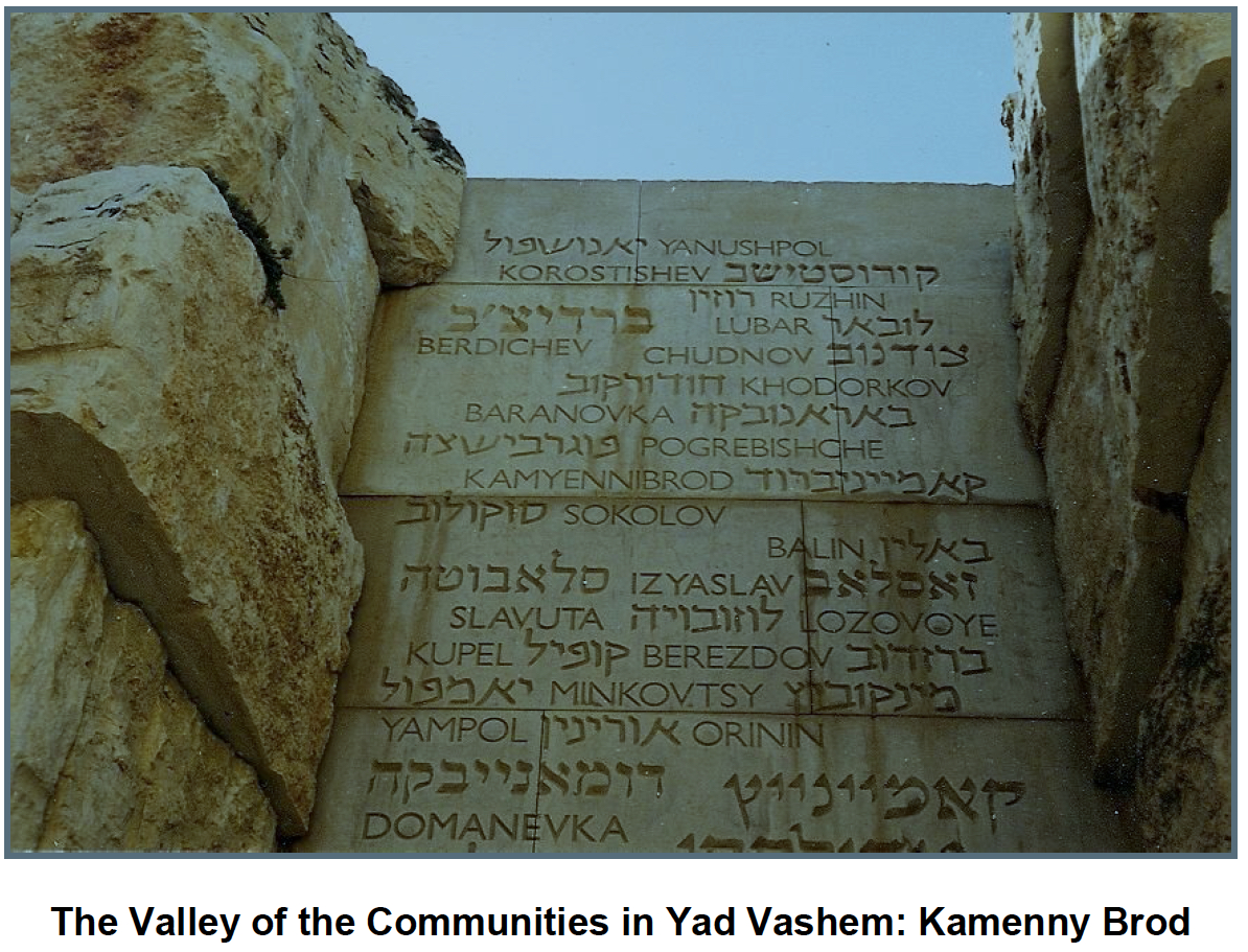
The Valley of the Communities in Yad Vashem: Kamenny Brod
Copyright © 2010 Allan B. Dolgow
Source:
(Note: PDF will open in a new browser window or tab.)