Gargzdai (Gorzd), Lithuania
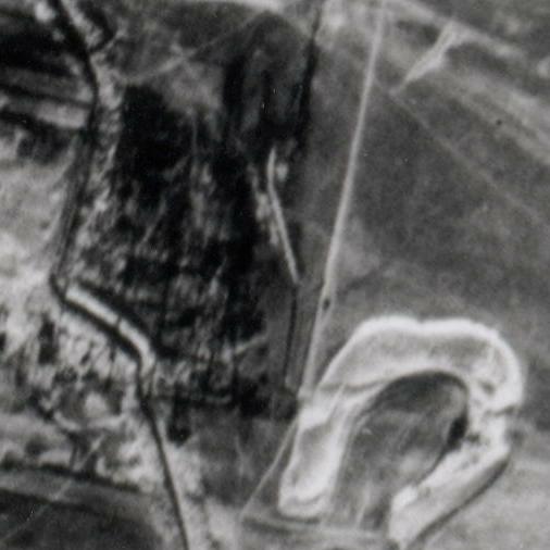
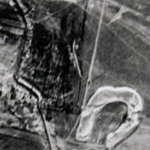
Jewish Cemetery (Aerial view)
 |
 |
| Enlargement of reconnaissance
photograph showing cemetery to northwest of horseshoe-shaped pond Original Photograph |
Modified with "unsharp mask"
function in freeware graphics program |
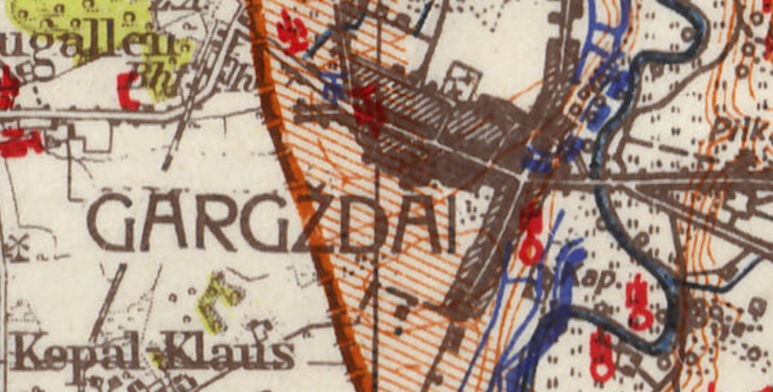
German Map dated mid December, 1944, available at mapywig.org, shows that the ditches through the cemetery ("Kap.") were apparently the work of the Germans (existing or former German fortifications are shown in blue; Soviet in red).

For animation comparing aerial photo and this German map, see here.

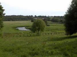
View from cemetery looking east to northern part of pond
For current aerial photo of this site on Wikimapia, click here.
(At Wikimapia site, you can drag photo with mouse to view different area, or change magnification with sliding scale.)
Identification of Features on
Aerial Photo | Aerial
Photo of Gargzdai