|
When Michael Maidenberg visited Dzygivka in 1996, local authorities put together a map that showed sites of interest. These included locations of synagogues, and the presumed location where the house of Maidenberg's great-grandfather lived. The map also showed the location of the large cemetery, still in use but also in disrepair.
You can view this 1996 Detail Map of Dzygivka.
Here's the link to Dzygivka in Google Maps
Enlarging and reducing the size of the Google map helps put the location of the shtetl into historic context.
There is a fascinating YouTube video which shows 1,000 years of European border changes. Hint: let the video fill the screen in order to see dates which are above and to the left. They are hard to read, as are the captions at lower left that describe major events taking place.
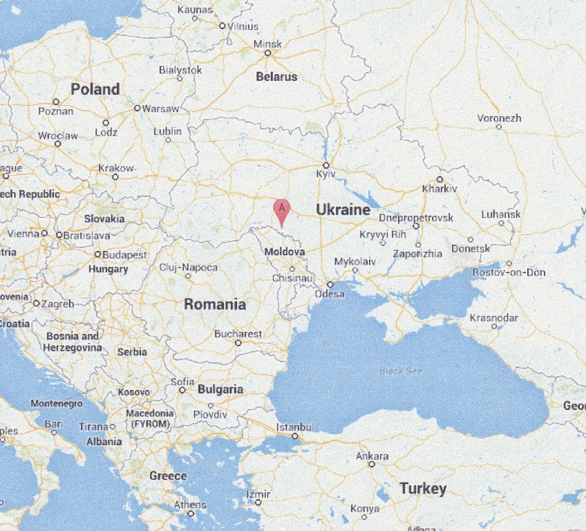
| The view below
shows Dzygivka's relation to the border with
Moldova, which historically was attached to
Rumania. The border is the Dniester River. The
area east
of the Dniester became known as "Transnistria"
during the war, and was an area of many ghettos
and killing sites. Dzygivka itself was turned into
a ghetto. Yad Vashem produced a map of Ghettos in Ukraine 1939-1944 (scroll to page 7) which shows Dzygivka (here spelled Dzygovka). |
 |
A striking historic map with the imposing title of "A new map of the Kingdom of Poland with its dismembered provinces" was published in London in 1787. It is part of the David Rumsey Map Collection and can be viewed here. Scroll to the bottom of the map to see the Dniester River. The shtetl of Yampol is marked. The overall region is Podolia, while the area in which Dzygivka is located is referred to as the Palatinate of Bratzlaw. A palatinate was a territory ruled by a noble, called in Polish a "voivode".
The YIVO Encyclopedia of Jews in Eastern Europe has an excellent section on maps. Below are several of interest. Note that all links will take you to the main map page.
