בּת שׁלמה Coordinates: 32° 35' 48.83" N 35° 00' 11.51" E 
|
||
|
בּת שׁלמה Coordinates: 32° 35' 48.83" N 35° 00' 11.51" E
|
||
| Home | Maps | Community | The Fallen | Links | Census |
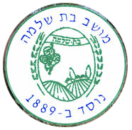
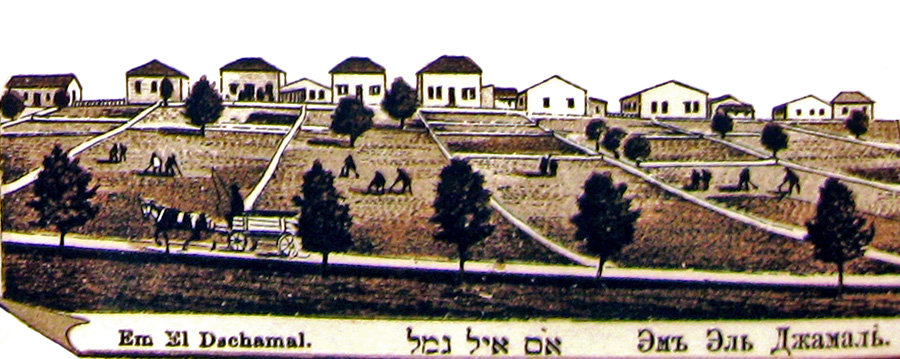
Bat Shlomo once known as Om El Gimal |
||
Schwarzman Farm |
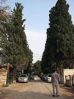
Main Street |
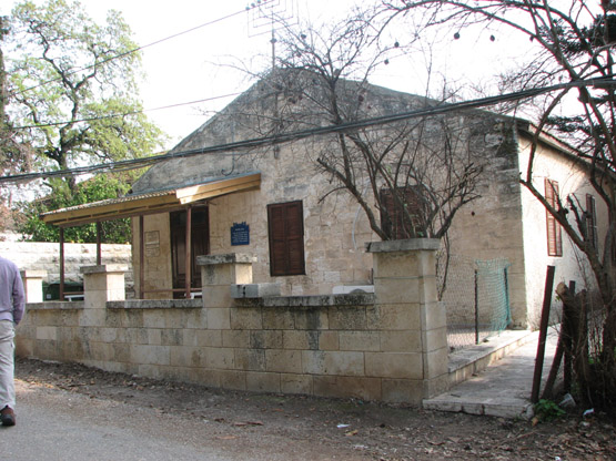
Synagogue |
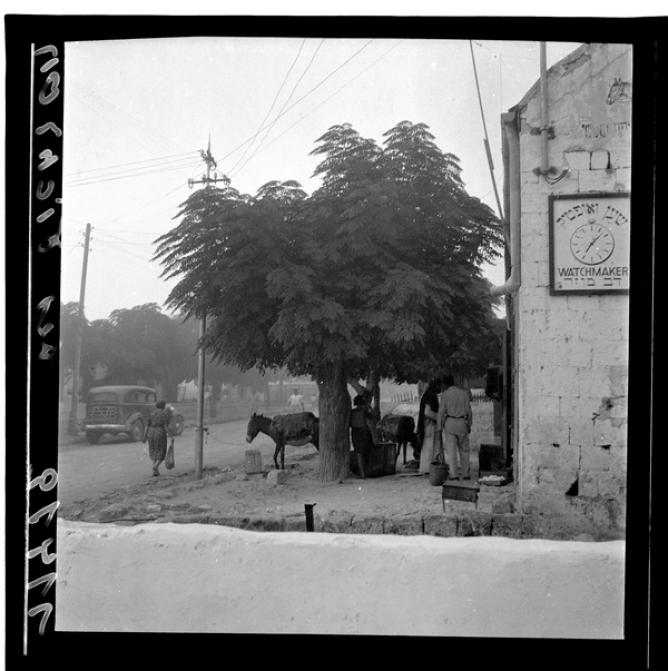
Bat Shlomo Street, 1939 (photo: Zoltan Kliger) |
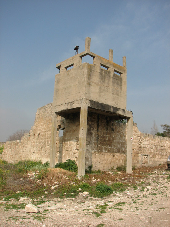
Old Wall & Guard Tower |

Vineyard (click to enlarge) |
Ph Schwartz |
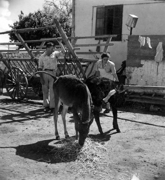
Farmer, 1934 |
|
|
Please contact Leah Haber Gedalia with your additions, questions, corrections, or comments! webmaster: richard L. baum |
|
This page is hosted at no cost to the public by JewishGen, Inc., a non-profit corporation. If it has been useful to you, or if you are moved by the effort to preserve the memory of our lost communities, your JewishGen-erosity would be deeply appreciated. |
|
KehilaLinks Home |
JewishGen Home
|
Created: 15 Dec 2017
Last Modified: 05-19-2018
Copyright © 2018 Leah Gedalia
All Rights Reserved.