
NEPOLOKIVTSI
Maps
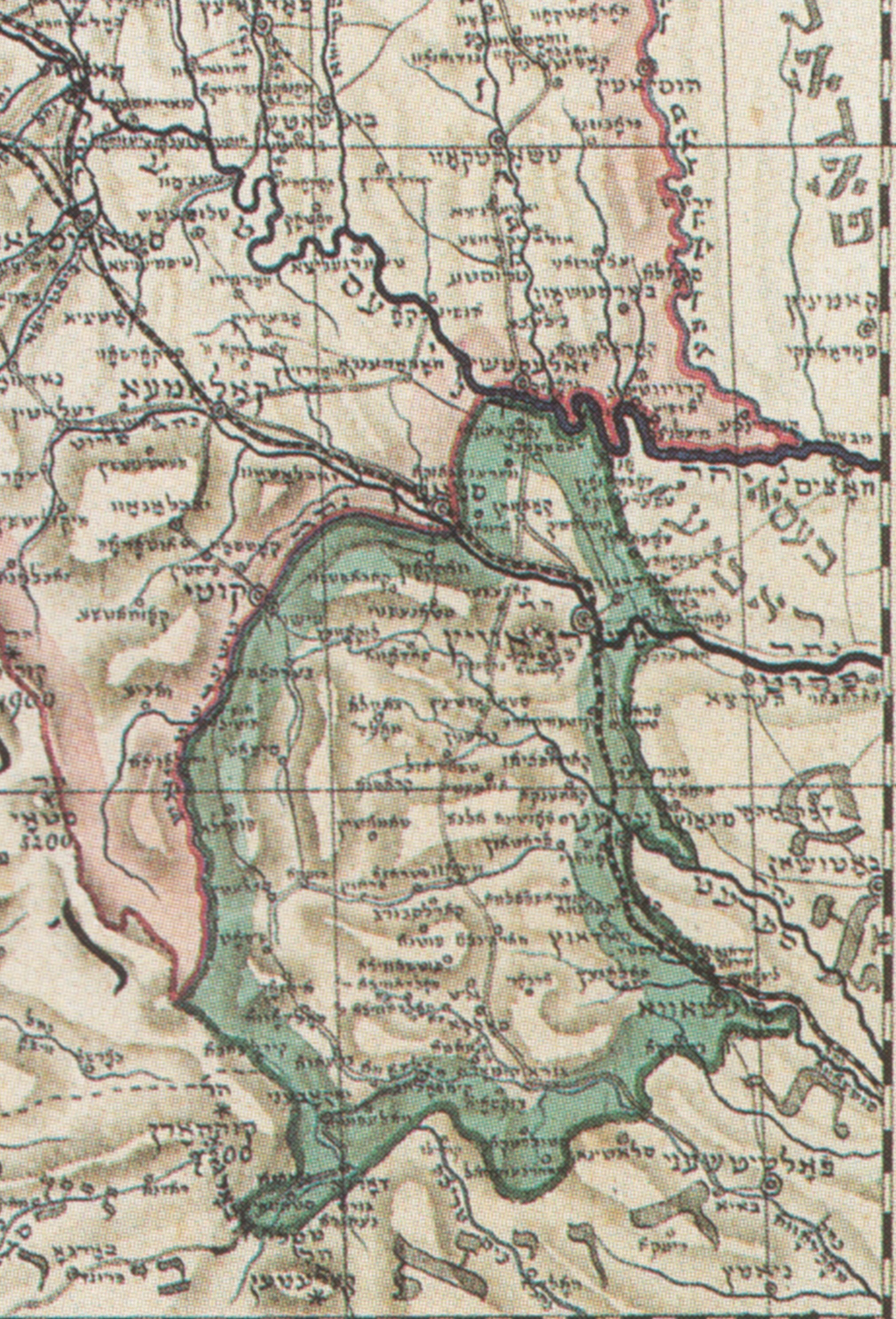
Map of Bukowina 1877 (Austrian period) in Hebrew
Nepolokivtsi (not included) is on the border with Galicia near Snyatin
מפת בוקובינה 1877
נפולוקאוץ (לא כלולה) נמצאת על הגבול עם גאליציה, ליד סניאטין
From a map by Avigdor Jakov Haleli Horowitz Meisels, 1877. Contributed by Hannes Graf.
* * *
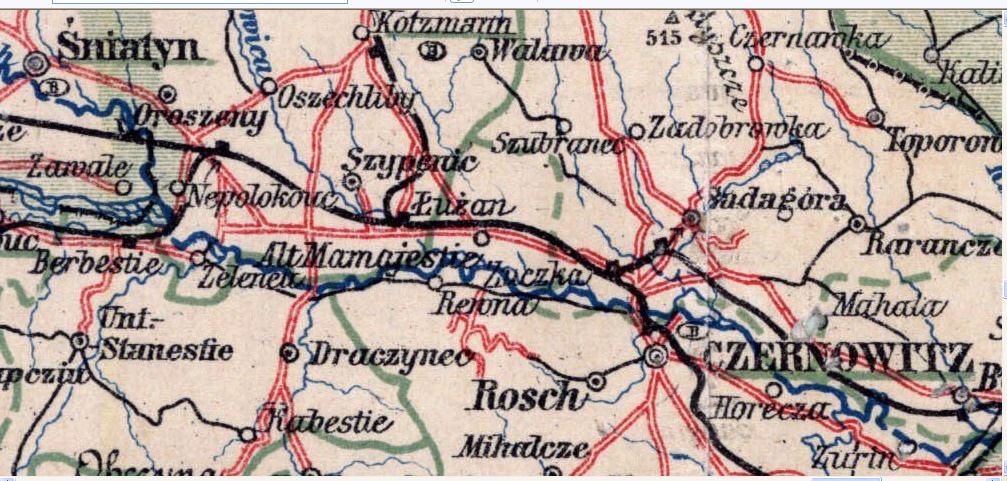
"Nepolokouc" near the
Bukowina-Galicia border.
From Bukowina-Galicia Map 1910Copyright © mapywig.org
* * *
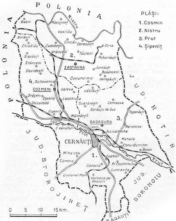
Pre WW2 (Romanian period) map of Bukowina
Nepolokivtsi is called here "Ghica Voda", in the west, Cozmeni region,
last train station in Bukowina before crossing the Galicia (Poland) border.
* * *
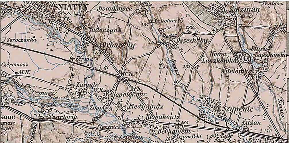
"Nepolokouc" (in the middle)
From 3rd Military Mapping Survey of Austria-Hungary, 1910
Copyright © lazarus.elte.hu
* * *
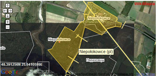
Map of today's Nepolokivtsi (Nieopolokowce) municipality;
the village at the south west, the train station at the north east. The Pruth river is west to the village.
See another Bukowina map from 1910, in Bukowina.org.il
Nepolokivtsi is called here "Nepolocaui"
* * *
This site is hosted at
no cost
by
JewishGen, Inc., the Home
of Jewish
Genealogy. If you have been aided
by this site and wish to further our mission of preserving
our history
for future generations, your JewishGen-erosity
is greatly appreciated.
Back to Nepolokivtsi Home Page
Copyright © 2011 Yohanan Loeffler