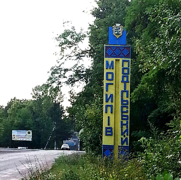
Mohyliv-Podilskyy
Coordinates: 48°27' N, 27°48' E
Alternate Names: Mohyliv-Podil's'kyy [Ukr], Mogilëv-Podol'skiy [Rus], Mohilev Podolsk [Yid], Moghilǎu [Rom], Mogilów [Pol], Mogilev, Mohylów Podolski, Mogilov Podolski, Mohyliv-Podilskyi, Mogilev-na-Dniestr
The Region/Province/Gubernia where Mohyliv-Podilskyy was located changed with time, in terms of name and ruling country. From about 1900 to before WWI, the name for the Town/District/Province was Mogilev, Mogilev, or Podolia, part of the Russian Empire. Under czarist rule, it was the district town of Podolia. Circa 1930, it was Mogilev-Podolski, in the Vinnitsa oblast of the Ukraine, Russia. After WWII, it was known as Mogil-Podolskiy, in the Ukraine SSR of the Soviet Union.
Mohyliv-Podilskyy is situated next to the Dniester River in Southern Ukraine. Founded in 1595, the town is in the Vinnitsa oblast on the southern border.


