מטלה Coordinates: 33° 16' 44" N 35° 34' 28" E 
|
||
|
מטלה Coordinates: 33° 16' 44" N 35° 34' 28" E
|
||
| Home | Maps | Community | The Fallen | Links | Census |
|
||
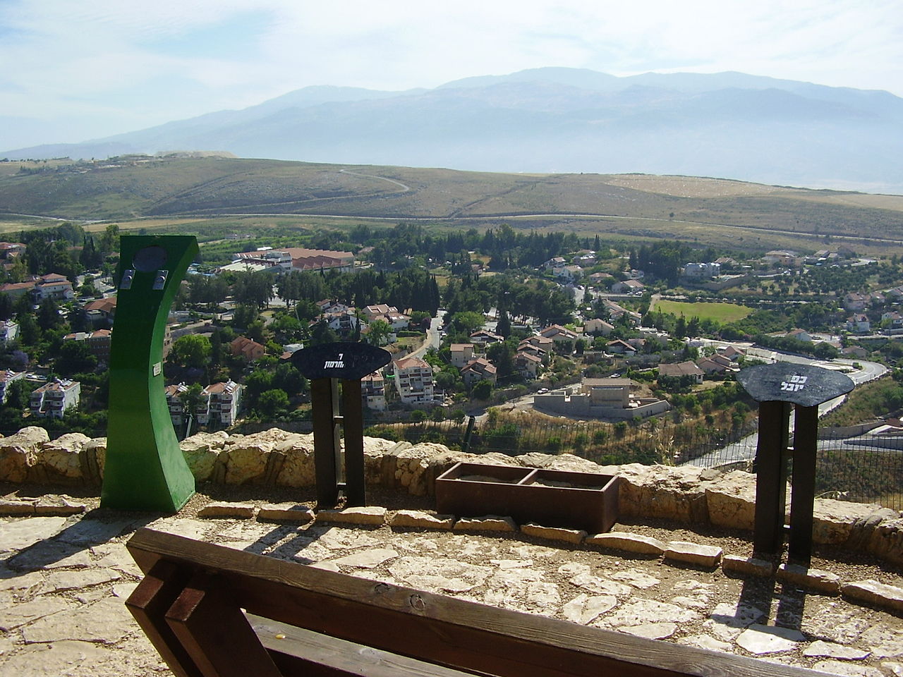
Dado Lookout above Metula (photo: Avishai Teicher) |
|
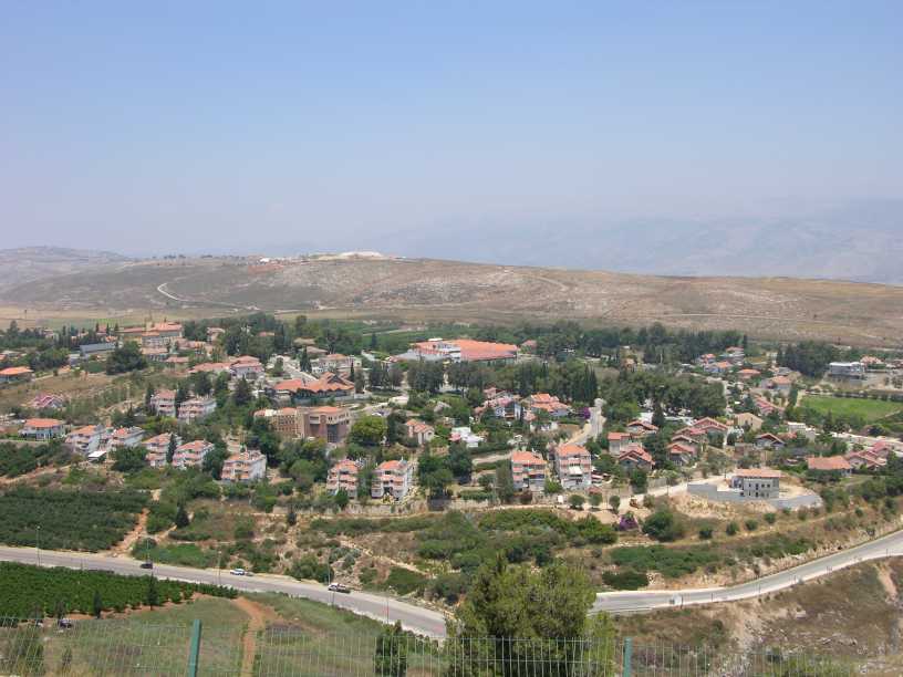
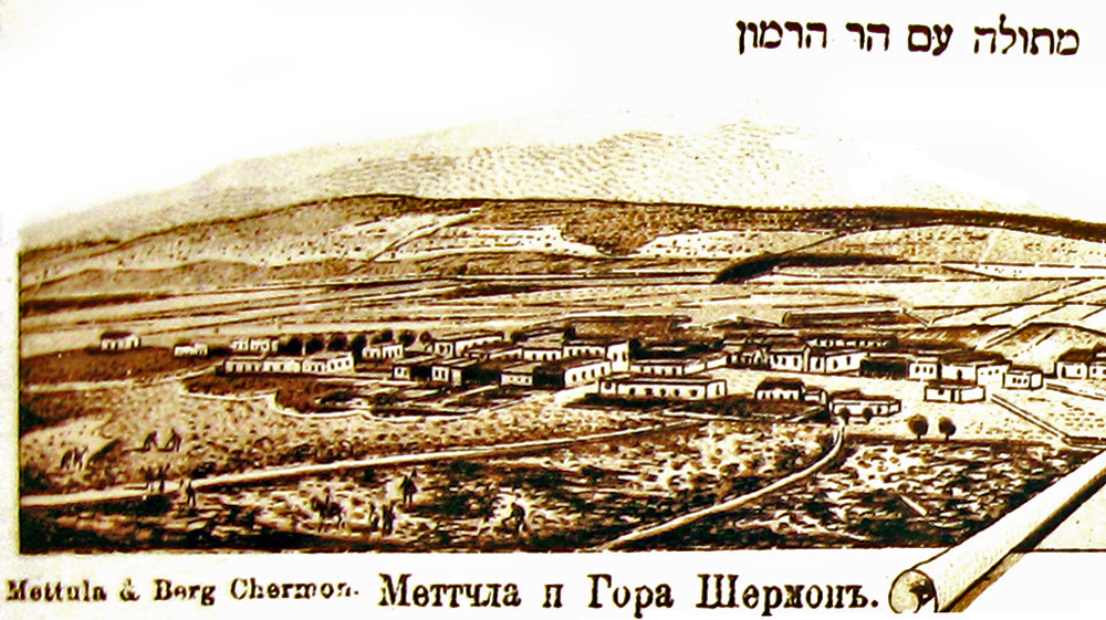
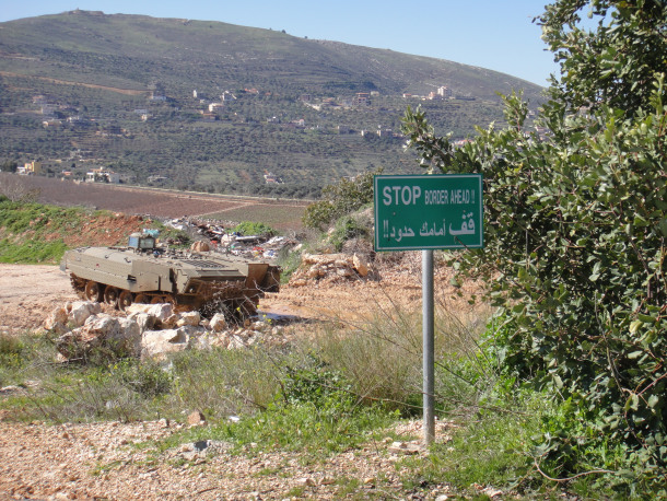
Metula June 2007 |
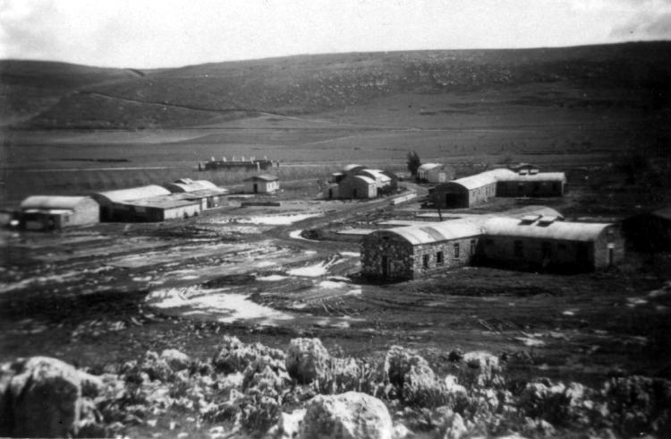
British Army Camp Metula, 1948 |
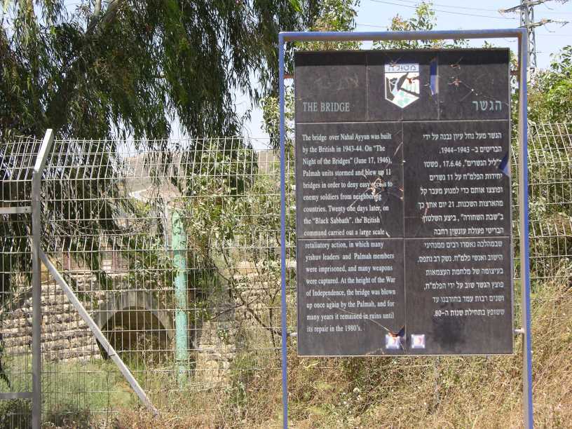
Nahal Ayyun Bridge |
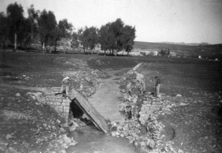
Metula Bridge Blownup 15 Feb 1948 |
Metula Camp after Yiftach takeover 1948 |
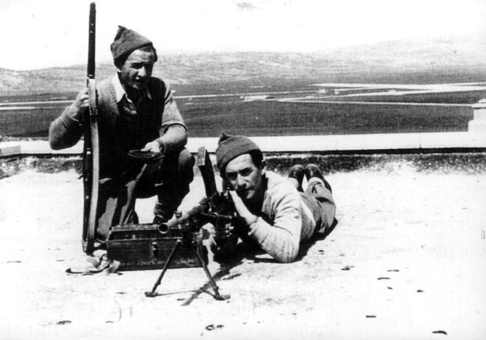
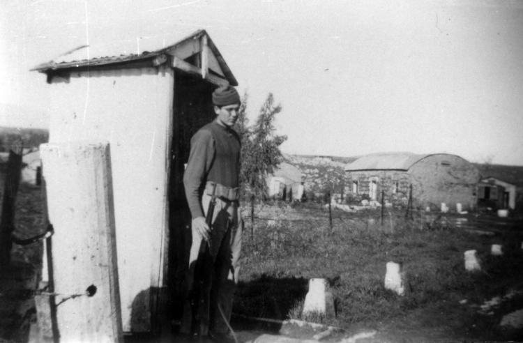
Members of Yiftach Brigade Metula, 1948 |
|
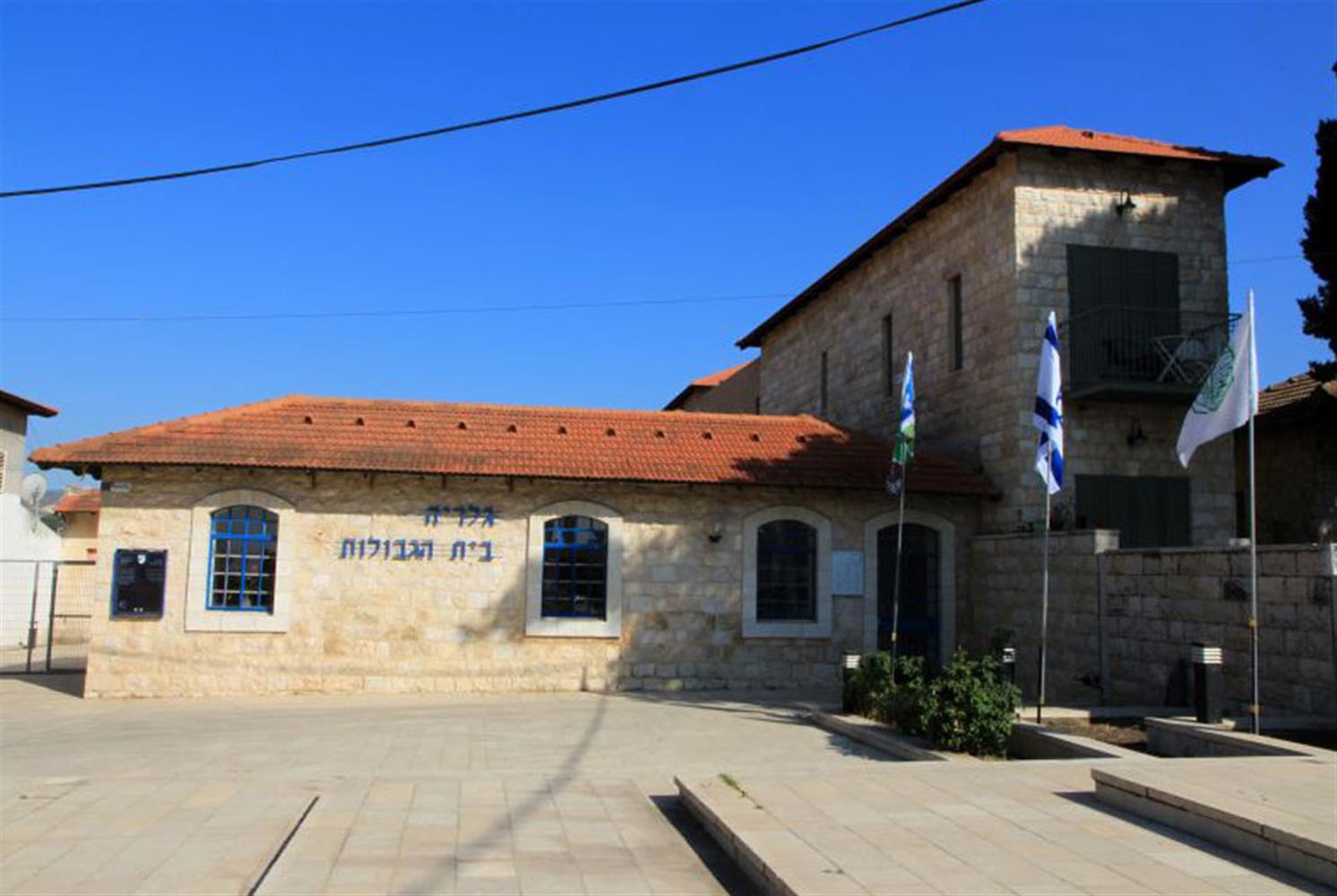
Beit Hagevulot Museum |
Water Tower |
Beit Kakeshatot House of Rainbows |
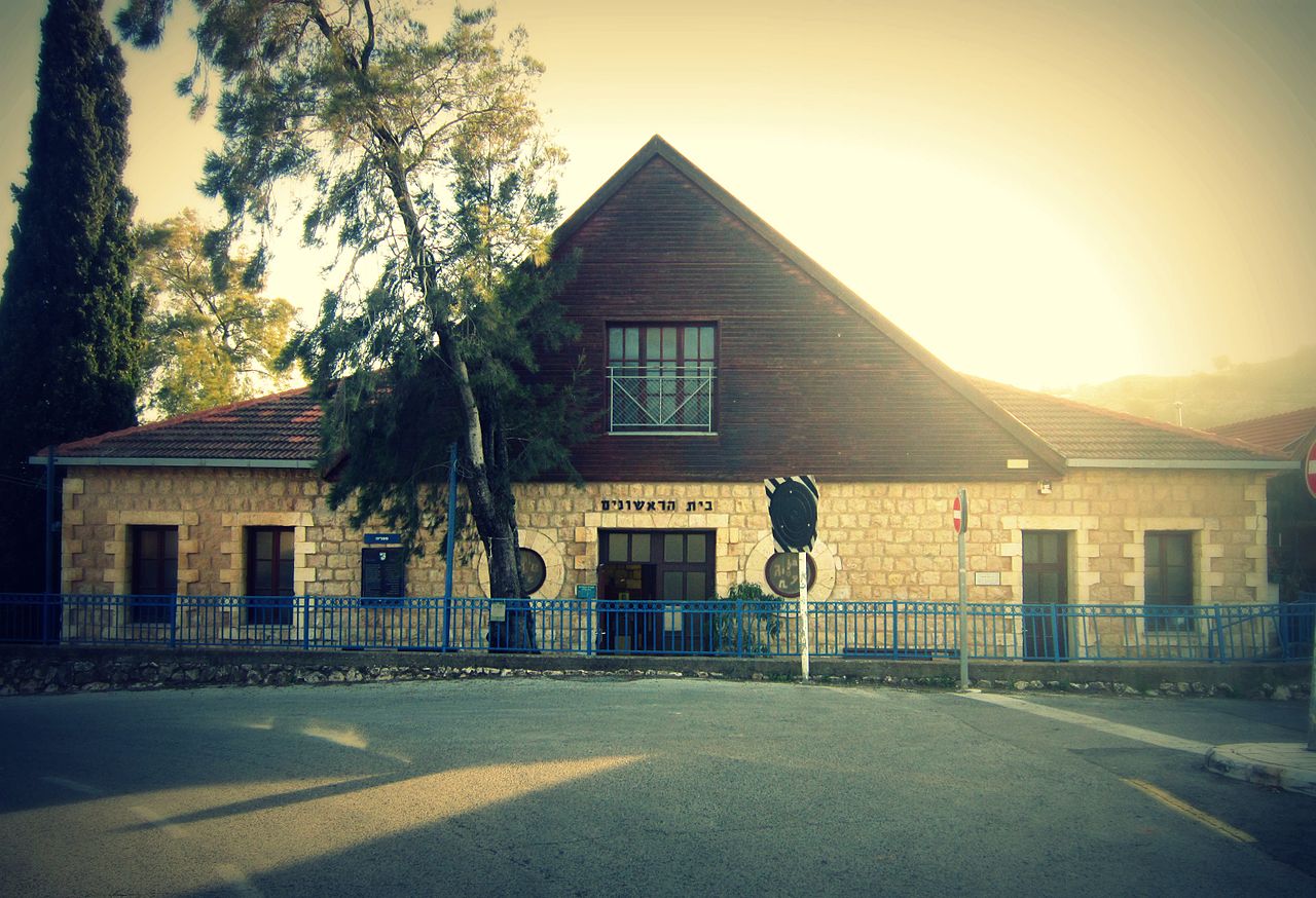
Beit Rishonim First Settlers' House Used As School |
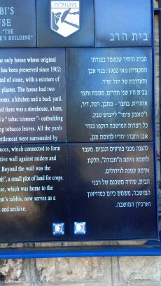
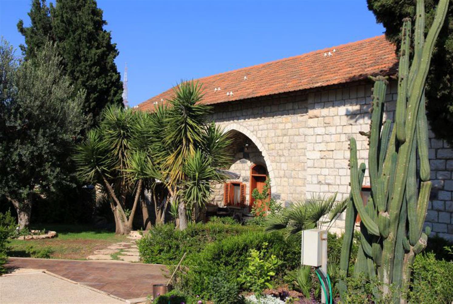
Rabbi's House |
Settler's House Built 1869 |
|
| ||
|
Please contact Leah Haber Gedalia with your additions, questions, corrections, or comments! webmaster: richard L. baum |
|
This page is hosted at no cost to the public by JewishGen, Inc., a non-profit corporation. If it has been useful to you, or if you are moved by the effort to preserve the memory of our lost communities, your JewishGen-erosity would be deeply appreciated. |
|
KehilaLinks Home |
JewishGen Home
|
Created: 11 Dec 2017
Last Modified: 12-20-2017
Copyright © 2017 Leah Gedalia
All Rights Reserved.