|
|
- The following 19th and 20th century
Gesher Galicia maps cover Galicia and include
Bolszowce:
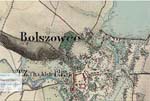 Bolszowce
Map from the Second Miltary Survey (1806-1849)
of the Austrian-Hungarian Empire. Produced by Arcanum
in Budapest, these "Historical
Maps of the Habsburg Empire" can be freely
accessed. They offer the user the opportunity to
geo-reference 19th century maps with current maps. Bolszowce
Map from the Second Miltary Survey (1806-1849)
of the Austrian-Hungarian Empire. Produced by Arcanum
in Budapest, these "Historical
Maps of the Habsburg Empire" can be freely
accessed. They offer the user the opportunity to
geo-reference 19th century maps with current maps.
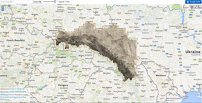
Arcanum uses Google Earth to overlay the historical
boundaries of Galicia and Bukovina with
the current boundaries of Eastern Europe
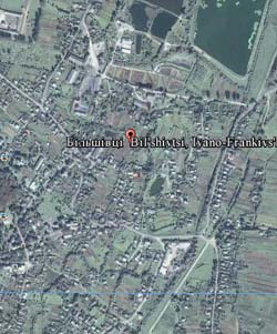
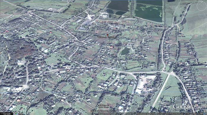
Google Earth View of 21st Century Bil'shivtsi
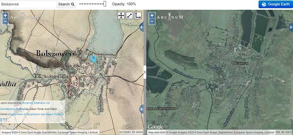
Side by Side Views of Early 20th Century
Bolszowce & 21st Century Bil'shivtsi
I wish to thank Pamela
Weisberger, President/Research & Program
Coordinator of Gesher Galicia, and Jay Osborn, Map
Room Coordinator, for their assistance,
recommendations, and permission to use maps on the
Gesher Galicia website. All Galicia maps and other
information, including the Family Finder, are
available to Gesher Galicia dues-paying members. To
join, go directly to the Gesher
Galicia website.
|

