
BIALYGen
Bialystok Region Jewish Genealogy Group
GRODNO GUBERNIYA POLAND IMAGING PROJECT
SURVEY OF JEWISH CEMETERIES
by Heidi M. Szpek, Ph.D.
Associate Professor, Department of Philosophy and Religion Studies
Central Washington University
May 2007
Partial funding provided by: The Department of Philosophy & The Office of International Studies and Programs Grant Committee,
Central Washington University, Ellensburg, Washington 98926, USA
Back to Poland Imaging Project Cemeteries Index
|
Sokolka GPS: 53°25'N 23°30'E Size: c.3 acres (suburban pine forest with varied vegetation) Number of matzevoth: c. 1000 Bagnowka.com: Sokolka Gallery (photographed in 2003, 2004, 2006)
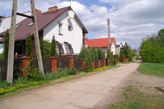
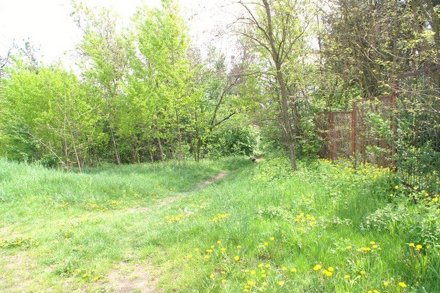
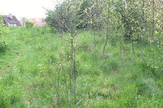
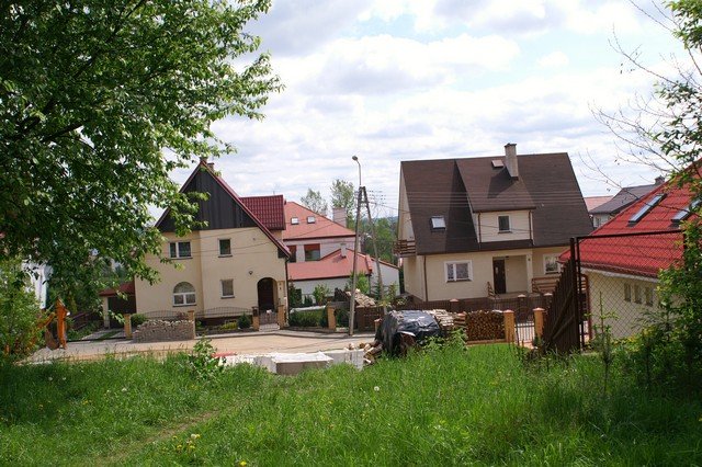
Image 1 Directions: From Bialystok, take highway 19 north for 42 km to Sokołka. The cemetery is located in the northwestern part of town at the intersection of Ul. Zamenhofa. As you enter the town take one of the larger roads left (north) to Ul. Zamenhofa. (If you reach the Rynek and city proper, you’ve gone too far.) As you gradually ascend a hill the cemetery will be on your left, a residential neighborhood at right. On reaching the intersection of Ul. Zamenhofa, turn left. At this corner you’ll see what was once the entrance to the cemetery, with a broken cobblestone wall paralleling the road (Image 2). Turn left onto Ul. Zamenhofa and drive slowly to the near end of this small street. Along the way at left you’ll see matzevoth literally beside the road, at right are newer houses (Image 3). Just ahead is an old industrial park, set off by a rusted chain link fence. A much used path into the cemetery is at left (Image 4).
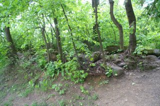
Conditions: The cemetery has a broken cobblestone wall on its eastern
side, with a broken masonry wall near the intersection at Ul. Zamenhofa
(Image 10). On entering at Ul. Zamenhofa, a rusted chain link fence bounds
the western side with an opening to an industrial area (Image 4). Various
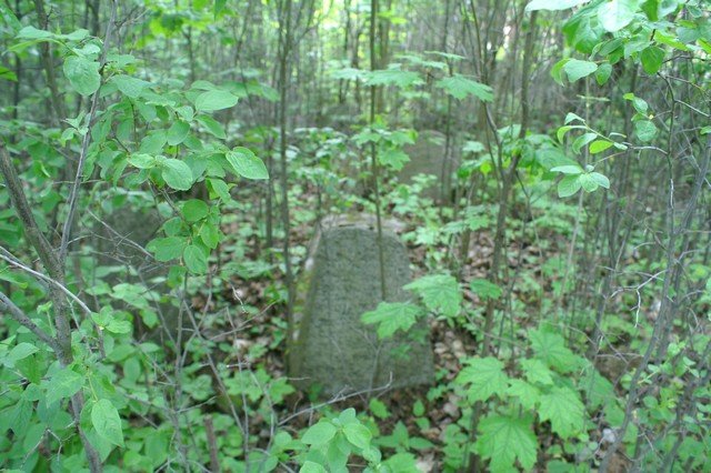
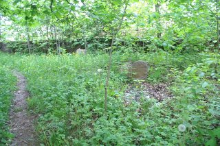
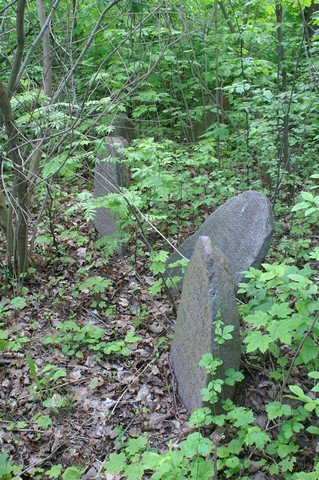
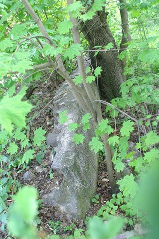
worn paths run throughout this heavily overgrown cemetery, with varied
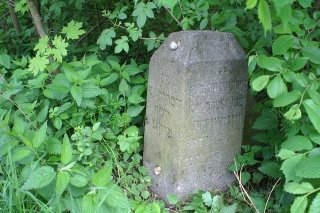
vegetation (Images 1,5,6) . A four-sided tombstone literally stands beside
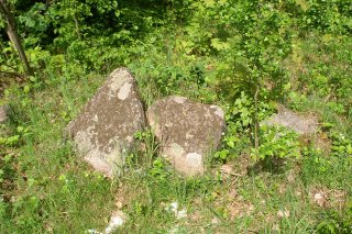
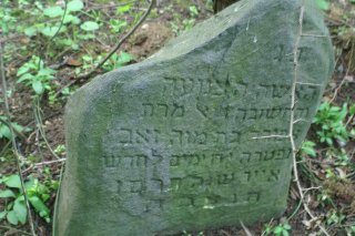
Ul. Zamenhofa (Image 7). Hundreds of matzevoth are still extant,
although many inscriptions are no longer legible (Images 1,7-9,11,12). The
western side looks out over the city, literally down into a new
subdivision (Image 13). The area is used for walking dogs and other
recreation – a bonfire was burning unattended on this visit. The greatest
threats are vegetation and natural wear to matzevoth, but more
urgent are the dangers from the new housing development and recreation. Image 5 Cobblestone wall Image 9 General View
Back to Poland Imaging Project Cemeteries Index
|
||||||||||||||||||||||||||||