
Kolomyya Administrative District, Ukraine
Alternate names: Kolomyja, Kolomea. Location: 48�32' N, 25�02' E
Maps
There are many beautiful and interesting maps in the Gesher Galicia Map Room. Most are of Galicia as
a whole or in large portions. But there a are a few of special
interest to the KAD. There are others scattered across the Internet.
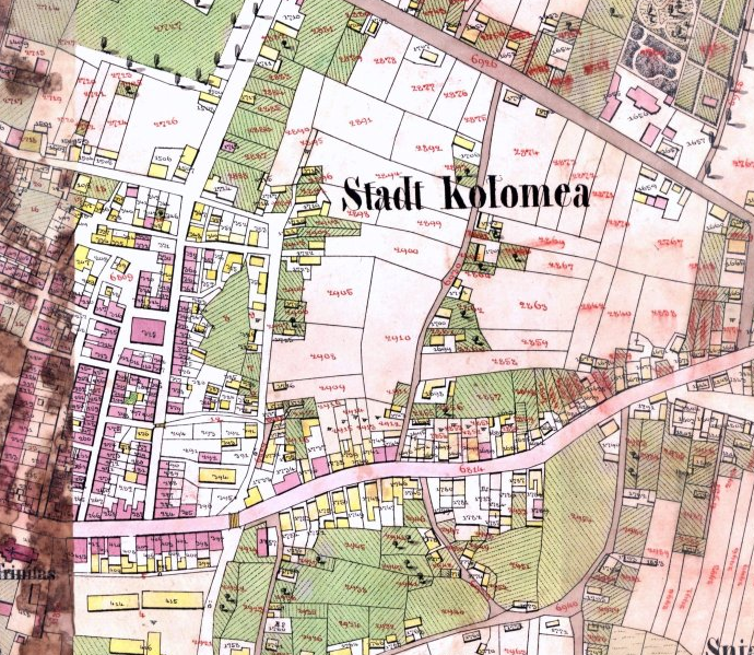
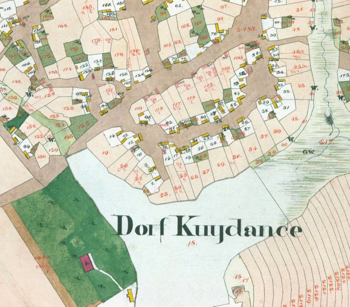
Kolomyya,1859
This cadestral map of Kolomyya shows
property boundaries, and some building and parcel numbers.
Local landmarks such as churces and Jewish cemeteries are
also shown.
|

Korolowka,1826
This partial map of Korolowka shows house
and parcels numbers as well as the owners names of the
larger parcels.
|
||
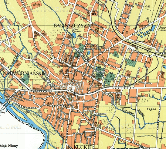
Kolomyja, 1939
Street map of Kolomyja from 1939. Hosted
by the Center for Urban History of East Central Europe
|
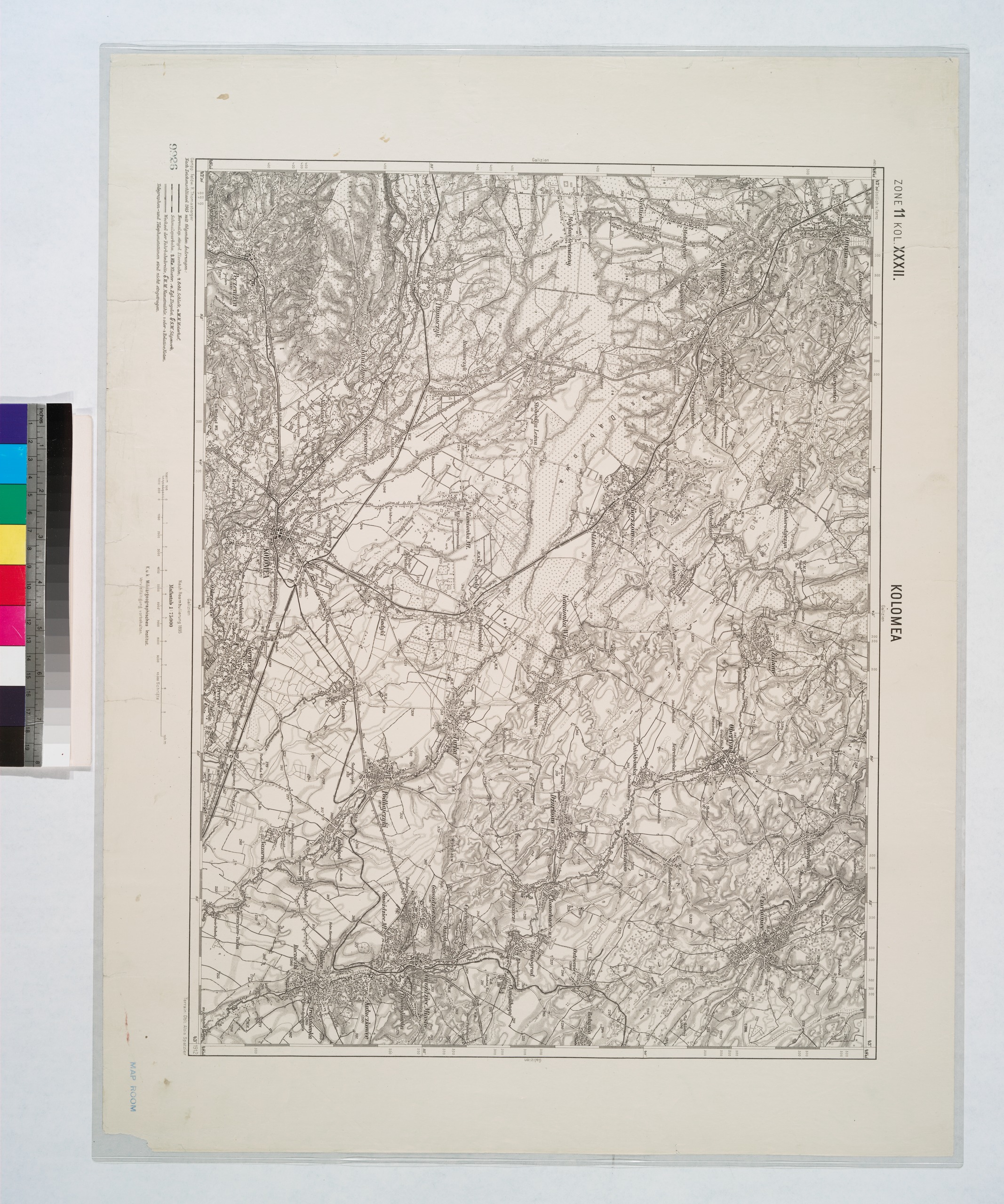
Kolomea, 1912
Lionel Pincus and Princess Firyal Map
Division, The New York Public Library. (1912). Kolomea
(Galizien). Retrieved from
http://digitalcollections.nypl.org
|
This page was created by and maintained by Alan Weiser until 2018.
Now maintained by Sheryl Stahl.
Suggestions are welcome. Updated Spring 2019. Copyright � Alan
Weiser and Sheryl Stahl 2019
Find more KehilaLink pages at https://kehilalinks.jewishgen.org/
This page is hosted at no cost to the public by JewishGen,
Inc., a non-profit corporation. If you feel there is a benefit
to you in accessing this site, your JewishGen-erosity is
appreciated.
http://www.jewishgen.org/JewishGen-erosity/