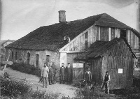
Also known as
Lubin or Labun'
Maps
| Home |
||||
| Location |
||||
| Gazetteer/History |
||||
|
||||
| Photographs |
||||
| Emigration |
||||
| Immigration |
||||
| Landsman |
||||
| Families |
||||
| Links |
||||
Updated
22 May 2011
22 May 2011
 |
|
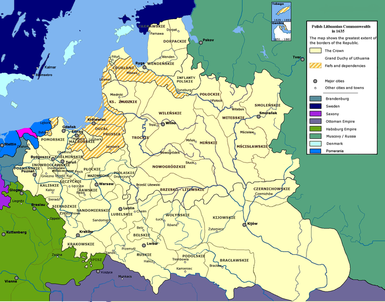
| Polish Commonwealth, until 1793.
Labun was in the south-central portion of the Polish-Lithuanian
Commonwealth. On this map it is SE of Rowne (Rivne) and WSW of
Zhyomierz (Zhytomyr)
in the Wolynskie District. This map is from Wikipedia.com |
|
 |
|
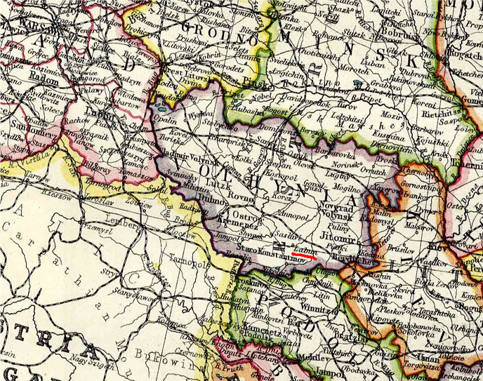
| Russian
Empire, 1793 - 1921. Labun was
located in the SE portion of Volhynia
Gubernia [here underlined in red]. This map from 1908 is from the online Map Library of the Federation of East European Family History Societies |
|
 |
|
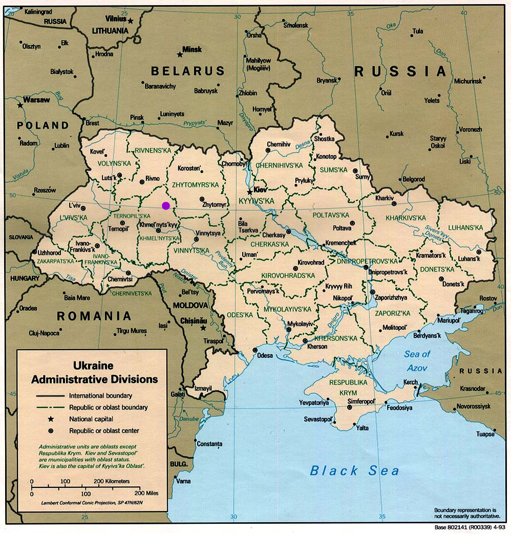
| Ukraine
Administration
Districts,
1991.
Yurovshchina's location
is marked with the purple dot. |
|
 To top of page