| Golynka ~ Holinka | ||||||
|
Belarus |
||||||
| Home | History | Jewish Life | Photos | Maps | Links | More |
|
History of Hołynka and Vicinity... |
||||
|
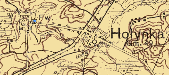
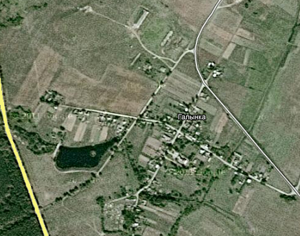
The Jewish Kehilla or shtetl was just northwest of the village of Hołynka. The map location is marked by six points on a blue circle. Today, the site is located somewhere in the area of the Hołynka reservoir and the Belarus-Poland border. The Hołynka reservoir is just north of the old road to Kopczany, Poland which is now closed to any traffic following the WWII border changes that separate the two villages. |
Above: Holinka shtetl near the village of Hołynka on a 1928 map. |
|||
|
|
||||
|
Use map controls above to move, zoom, etc. Click for larger map. |
According
to the 1897 census of Hołynka, the community population consisted of 687
persons, of which 500 were Jews according to
JewAge.org.
Seventy-two percent (72%) of the population was Jewish.
|
||
|
|
|||
|
|
|
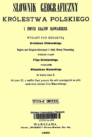
1893 Geographical Dictionary - Kingdom of Poland |
|
The
Hołynka municipality consisted
of the villages of: Andzin, Bartniki, Bojary, Bubcin, Dolinczany,
Dorgun, Ginowicze, Hołynka village and farm, Kopczany, Komisarowo,
Kulikowszczyzna, Kułakowszczyzna, Lichosielce, Lipszczany village and
farm, Markowce, Perstuń village and farm, Prolejki village and farm,
Puciatowszczyzna, Racicze, Rakowice, Zofijewo, Słomkowszczyzna,
Straż-Wygoda, Witkowszczyzna, and Wnukowszczyzna. |
|||
|
Copyright © Ralph Remick |
|||


