Town Diagram - Vilnius Archives (1862)
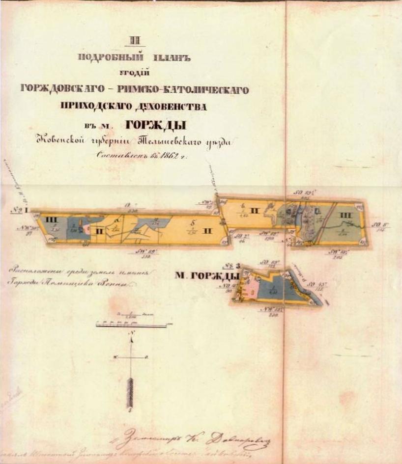
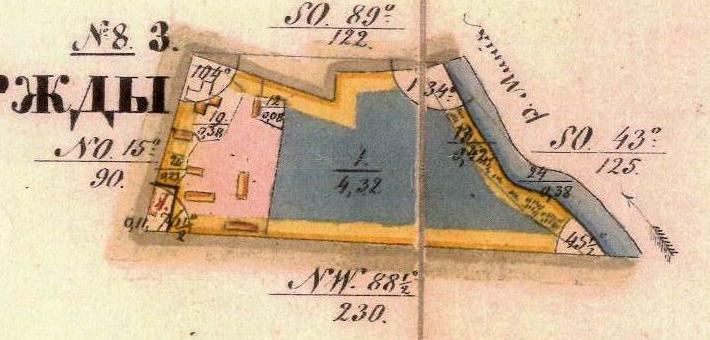
"The 1862 plan of the Gargzdai Catholic Church lands in the
Town of Gargzdai which were situated among the lands of Mr.
Renn"
Janina Valinciute, Gargzdu (1998), p. 500, indicates that the Michael Archangel Church, built 1791, was in the form of a Latin cross.
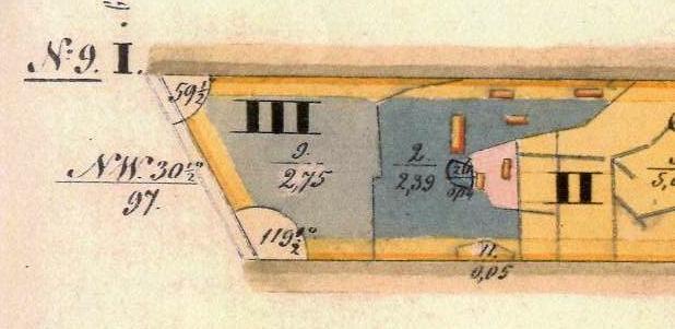
At least one, and possibly two buildings from this era still exist today: the chapel (1840) and stone bell tower (1842). The present chapel is oriented in an E-W direction, while the diagram appears to show the chapel (at the NE corner of the Church complex?) oriented in a N-S direction. See also pre-1923 photo of chapel on a Gorzdy postcard.
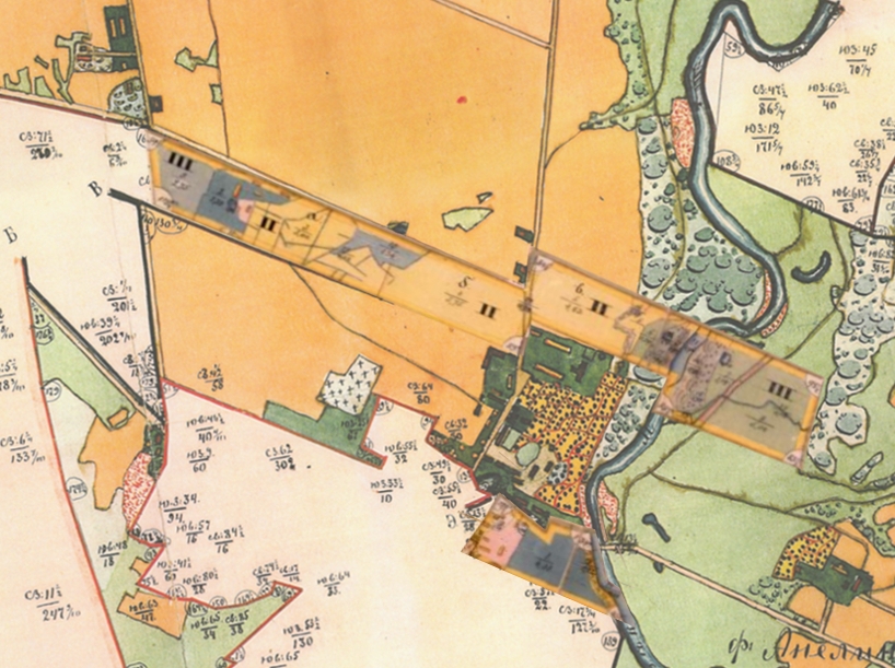
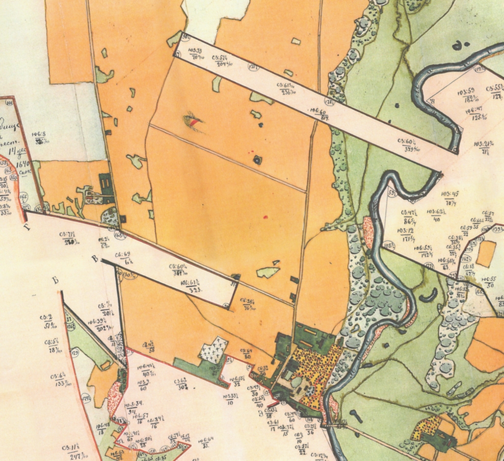
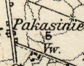
These areas may be aligned with the Russian Map Showing Estate Lands (1886):