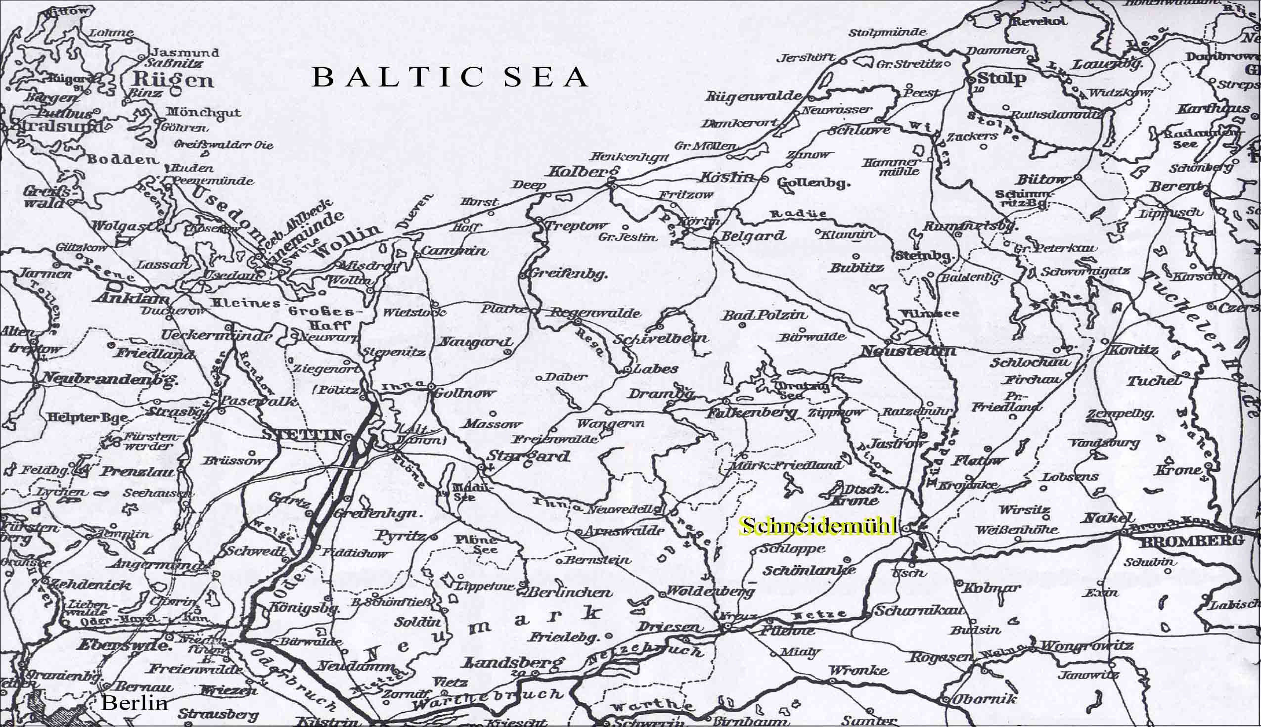
Use MapQuest to view the geographic position of today's city of Piła (the former city of Schneidemühl) (Latitude 53°09' N, Longitude 16°45' E) Schneidemühl
and surrounding areas, 1906
Index sheets of the general map of Central Europe (1:200 000) By clicking on a particular index map you can look at the sheets (3-3.5 MB each) For Schneidemühl and an enlarged view of surrounding areas, please click on the 4th square from the left at the top (Szczecinek 34º), or scroll down to sheet 34-53 Below, a map of the
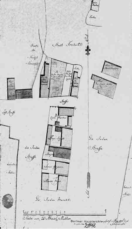
remnants of the
old ghetto of Schneidemühl, as recorded in
1803. The
ghetto had first been established by decree of Queen
Konstancja after the great fire of 1626.
|
 |