
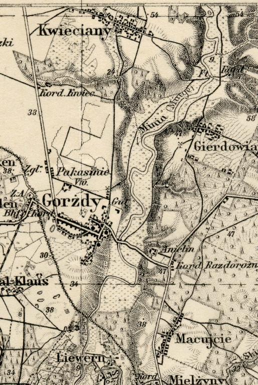
Karte des Deutschen Reiches (1921 - 1929)
Einheitsblatt Nr. 1
Memel - Heydekrug
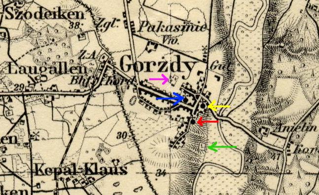
| Arrow | Symbol |
| Blue | Synagogue |
| Purple | Catholic Cemetery |
| Yellow | Catholic Church |
| Red | Evangelical Church |
| Green | Jewish Cemetery |
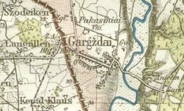
| This map series has symbols showing churches, synagogues, and
cemeteries, which are identified here by colored arrows.
For further information about the Synagogue, see Aerial Photo of Marketplace and Destroyed Synagogue and Note- Buildings of the Religious Community. About seventy tombstones or fragments remain in the Jewish Cemetery. The map legend explains the symbol as Friedhof für Nichtchristen = cemetery for non-Christians. The Evangelical Church burned down in the 1939 fire which destroyed much of Gargzdai, and was not rebuilt. Rebuilding of the Catholic Church was completed in 1998. |
|
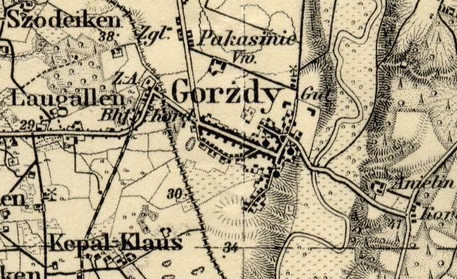
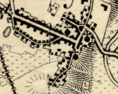
Descriptive words and symbols on map: Gut = estate |
|
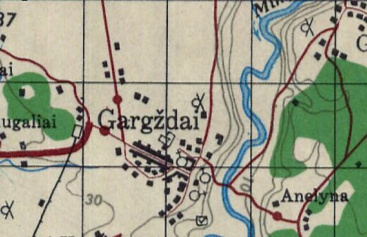
A similar obsolete depiction of the roads within Gargzdai is shown in the US Army Topographic, 1944 at mapywig: