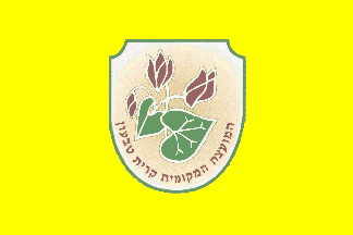
קרית טבעוֹן Coordinates: 32° 43' 26.00" N 35° 07' 38.00" E 
|
||
|
קרית טבעוֹן Coordinates: 32° 43' 26.00" N 35° 07' 38.00" E
|
||
| Home | Maps | Links | Census |

| 1922 | 1931 | |||||
|---|---|---|---|---|---|---|
| Location | Mohammedans | Jews | Christians | Muslims | Jews | Christians |
| Kiryat Tiv'on* | 151 | -0- | -0- | 239 | -0- | -0- |
|
sources: 1922 Census: p. 33, Tub'un; 1931 Census: p. 96, Tab'un. *1958 merger of Tiv'on, Kiryat Amal, & Elro'i villages. | ||||||
|
|
|
|
Please contact Leah Haber Gedalia with your additions, questions, corrections, or comments! webmaster: richard L. baum |
|
This page is hosted at no cost to the public by JewishGen, Inc., a non-profit corporation. If it has been useful to you, or if you are moved by the effort to preserve the memory of our lost communities, your JewishGen-erosity would be deeply appreciated. |
|
KehilaLinks Home |
JewishGen Home
|
Created: 30 June 2018
Last Modified: 07-07-2018
Copyright © 2018 Leah Gedalia
All Rights Reserved.