
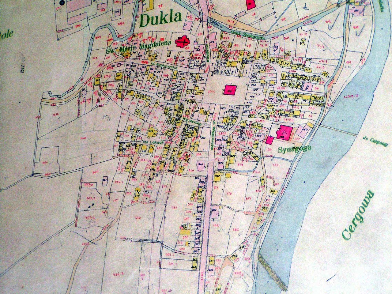
1850 Dukla Cadastral Map (with Plot Numbers) A cadastral map is
a map that provides information about real estate boundaries and
parcel plot numbers within a town or village.
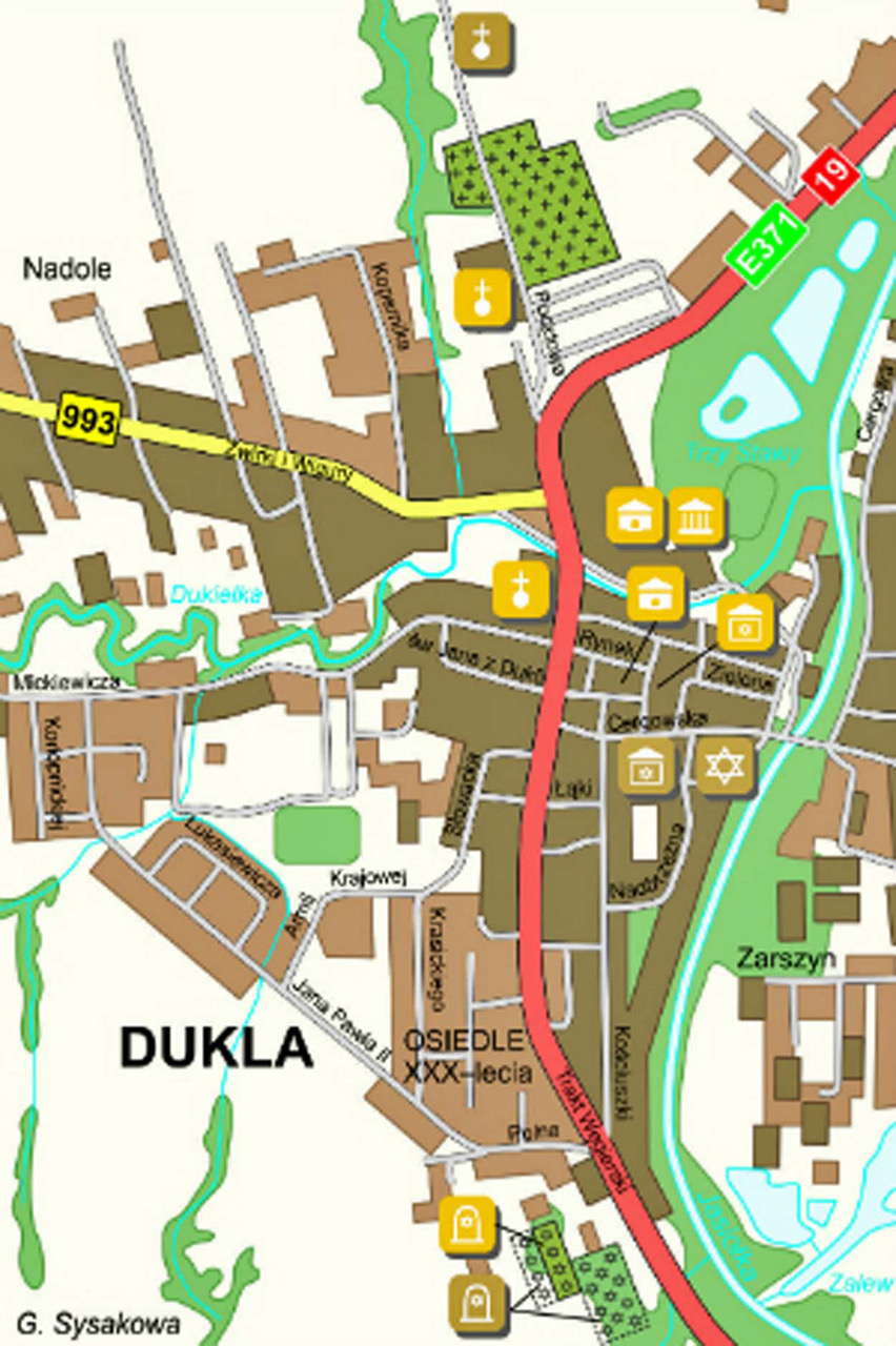
Current Dukla Map (with sights to see)
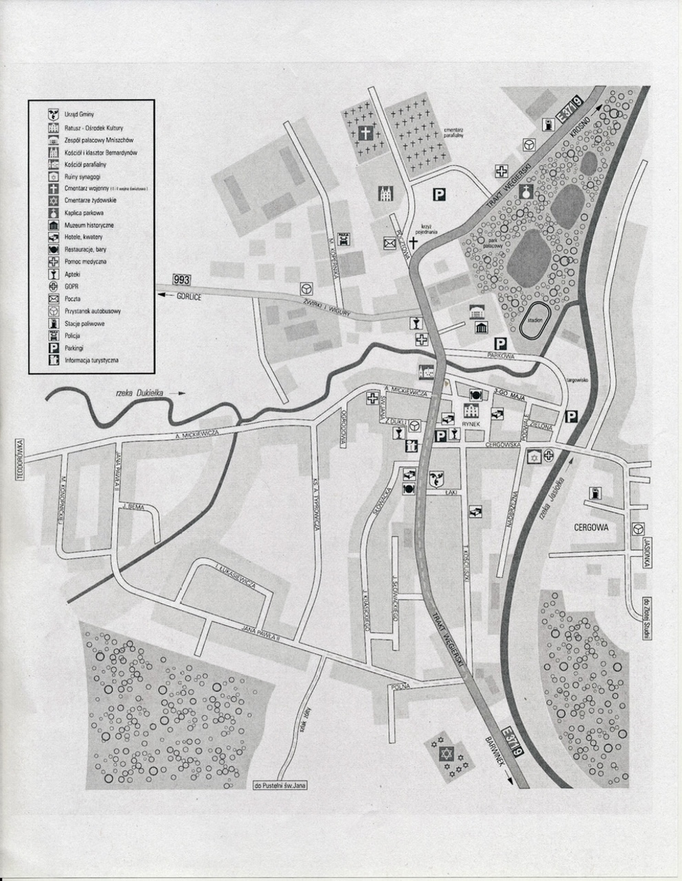
Another current Dukla Map
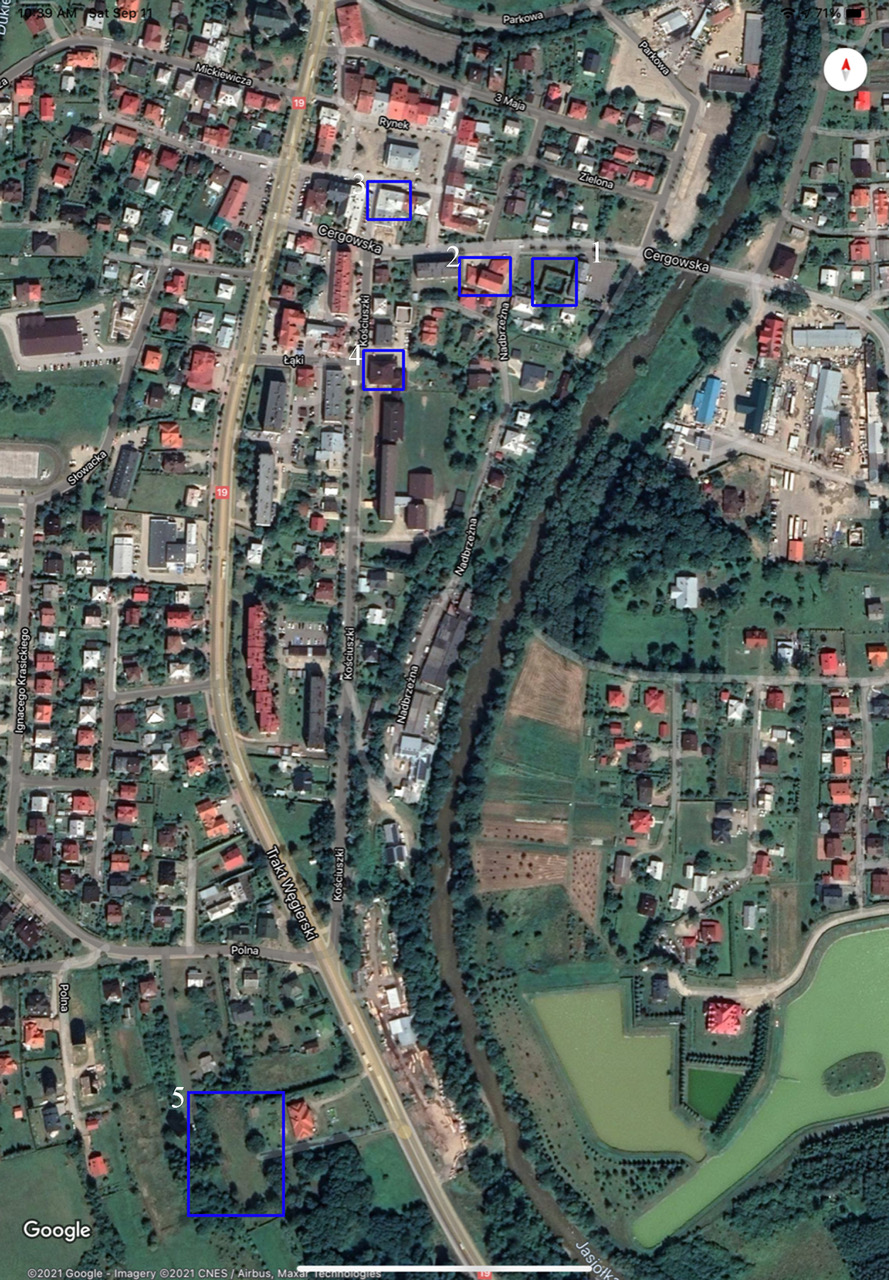
Current Dukla Satellite (Google Earth®) Map (Jewish Sights
Highlighted)
1) The Synagogue ruins;
2) The Hasidic Klotz;
3) The Rabbi's House;
4) The Jewish School Building;
5) The Jewish Cemeteries
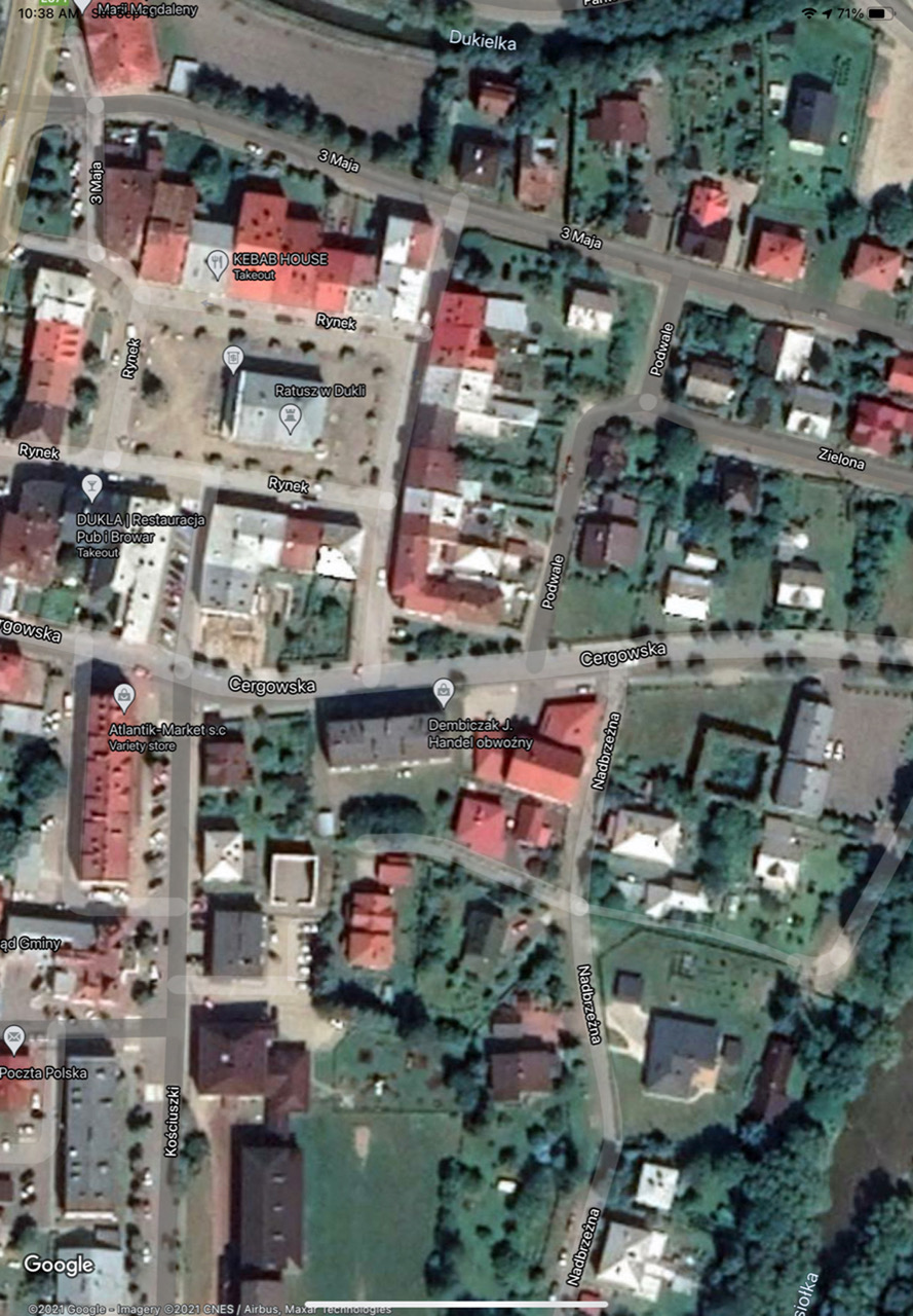
Current Dukla Satellite (Google Earth®) Map (Central Dukla)
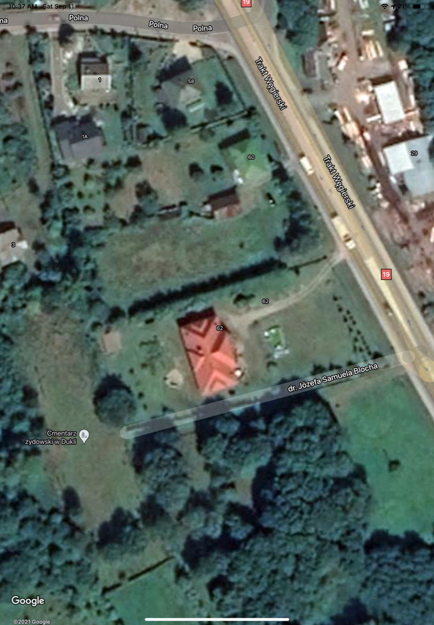
Current Dukla Satellite (Google Earth®) Map (Dukla Cemeteries)
Copyright © (2022) Jeffrey Alexander and Philip Ross.
All rights reserved.