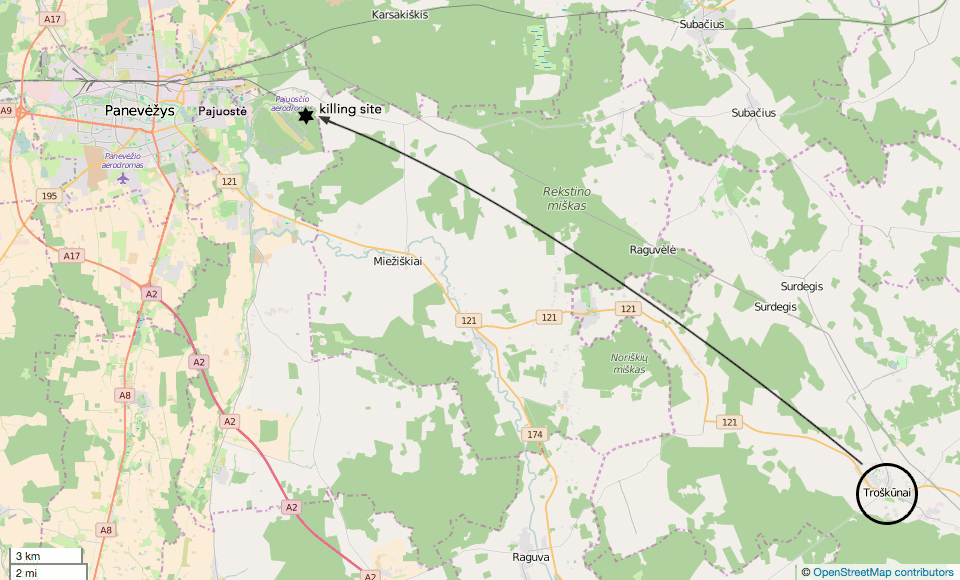
The mass graves where Jews were murdered in 1941 are located about 6 km (4 miles) east of Panevėžys in the forest east of Pajuostė.
Address: Panevėžys district, Miežiškiai administrative district, Biliūnai village, Pajuostė forest
(view larger map on Open Street Map)
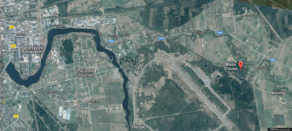
Directions from Holocaust Atlas of Lithuania: Go along Pajuostė road from Panevėžys towards Biliūnai village. Outside Panevėžys, after about 3 km, near Biliūnai village, turn onto the track on the right. There is a road sign. Go past the school and take the first turn on your right. The memorial is about 100 meters away. Latitude: 55.734100 • Longitude: 24.476233 (view larger map on Google Maps)