Kulchiny Ukraine (49°45'N 26°54'E)
Alternate names for Kulchiny inlude: Kul'chiny [Rus], Kulchin [Yid], Kultschiny [Ger], Kul'chyny [Ukr], Kulczyny [Pol], Koltchin, Kul'cyny.
CONTENTS
CLICK ON TITLE TO DISPLAY
Ukraine - Belarus - Moldova - Romania
1918 Polish Elevation Maps - Kulchiny
1645 Map of the Black Sea and Points North
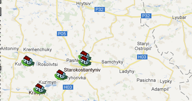
In this phoeo, Kulchiny is the left-most house icon. Starokostiantyniv, to the east, is the closest major city. Some of the villages where Kulchiner families moved include Krasyliv, Antoniny, Staryi Ostorpil, Lyubar, and Hrytsiv.
![]()
* * *
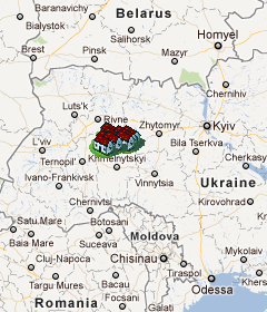
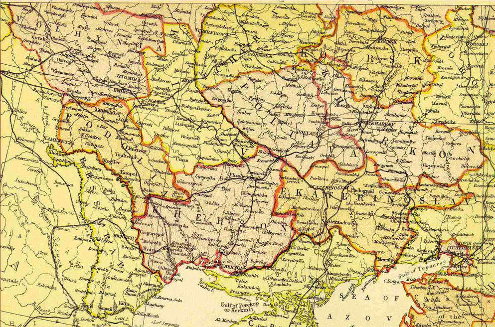
Ukraine: This map shows Kulchiny (home icons) in relative to Belarus, Moldova, and Romania. Odessa is south southeast of Kulchiny. Terespil is southwest of Kulchiny. Look at the location of Odessa and Tiraspol on the 1882 map of the Ukraine, below.
![]()
* * *
*
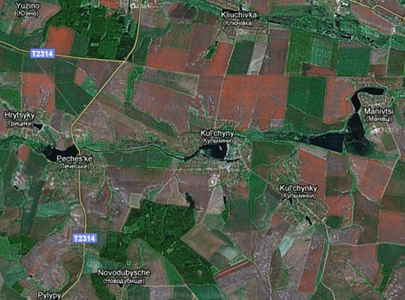
This aerial view of modern Kulchiny shows the surrounding villages and farms. Below it is a 1918 Polish elevation map of Kulchiny. To the East is the Manivsti (Maniowce in Polish), the site of the Nazi massacre of the Kulchiny Jews.
![]()
* * *
*
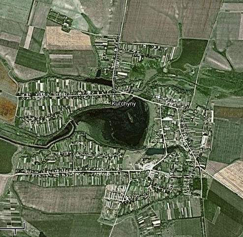
This is a close-up of modern Kulchiny and the surrounding farmlands
![]()
* * *
*
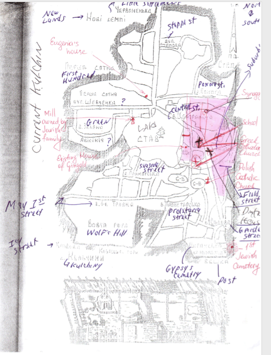
This hand-drawn map by teacher Dymitro Severnuik was drawn from information obtained from Yefgenia Babich, an elderly Kulchiny resident who remember the Jewish family's and the Ghetto Some of the old Jewish landmarks are annotated.
![]()
* * *
*
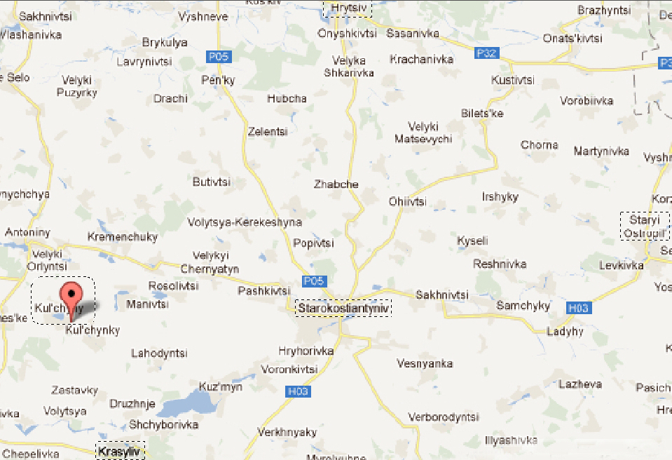
Kulchiny and the nearby communities are shown on this interactive map
 |
![]()
* * *
*
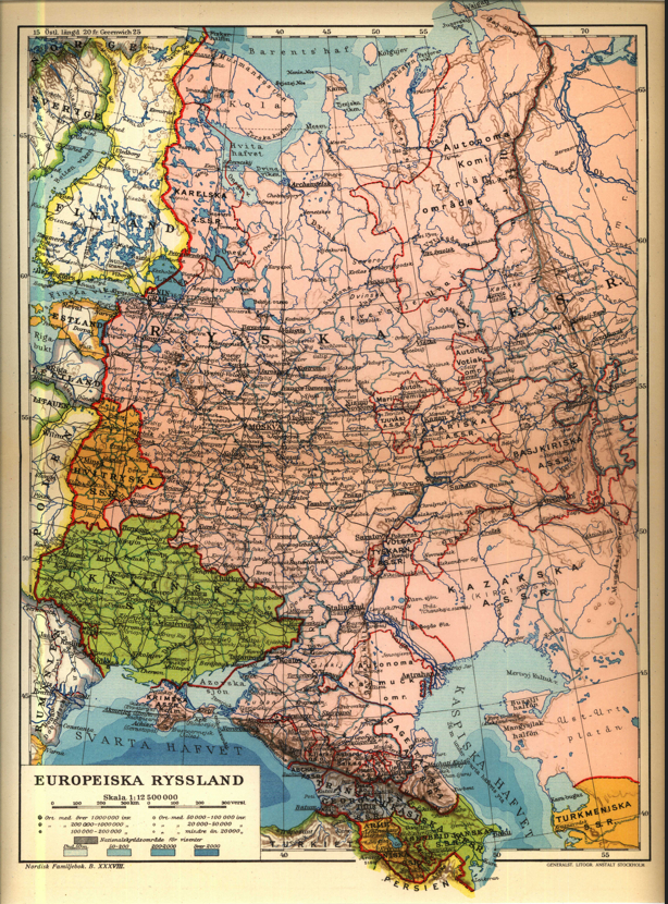
This is a 1923 map of Ukraine and Russia.
![]()
* * *
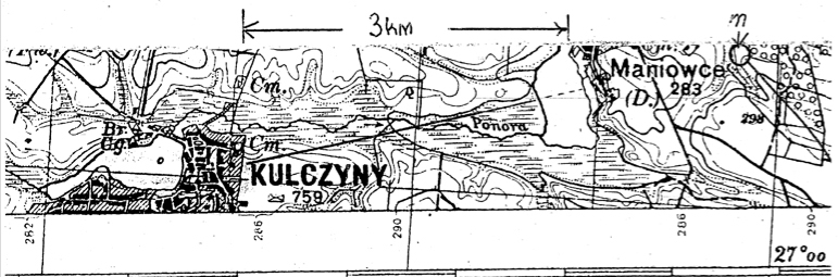
Below is the 1918 Polish elevation map of Kulchiny with a key showing the administrative districts
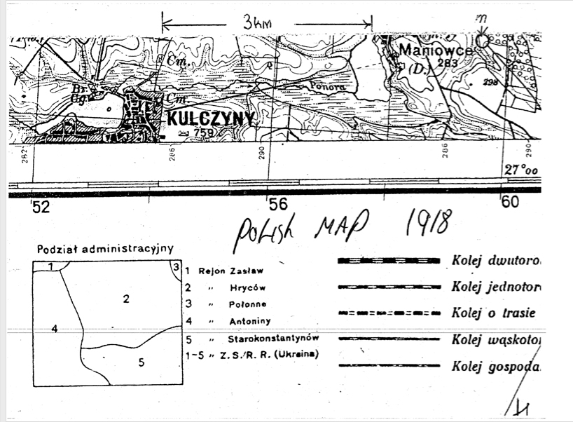
![]()
* * *
*
![]()
* * *
*
![]()
* * *
*
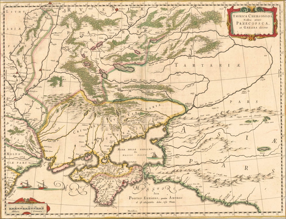
1645 map of the Black Sea and points north.
![]()
Copyright © 2012 David Winer