 |
Harbin, Heilongjiang PROVINCE, China |
Vintage Postcards from the Sitsky/Toper Collection
Postcards were submitted by Bob and Lynn Sitsky.
Click on any thumbnail image below to see the photograph in original
resulotion.
 |
 |
 |
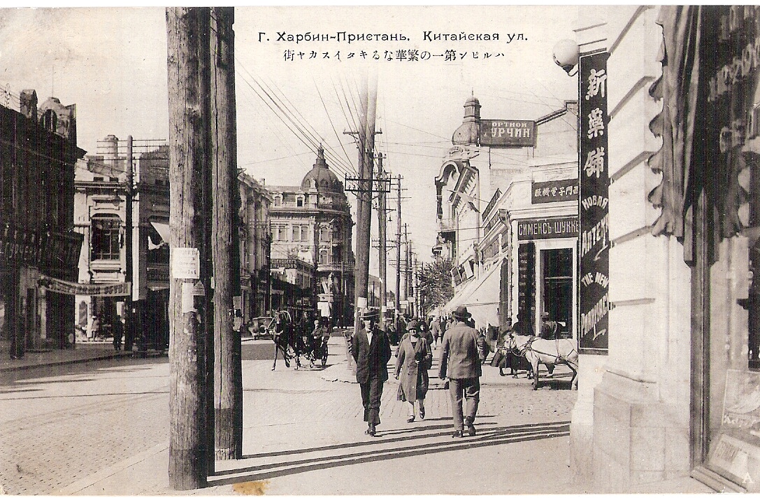
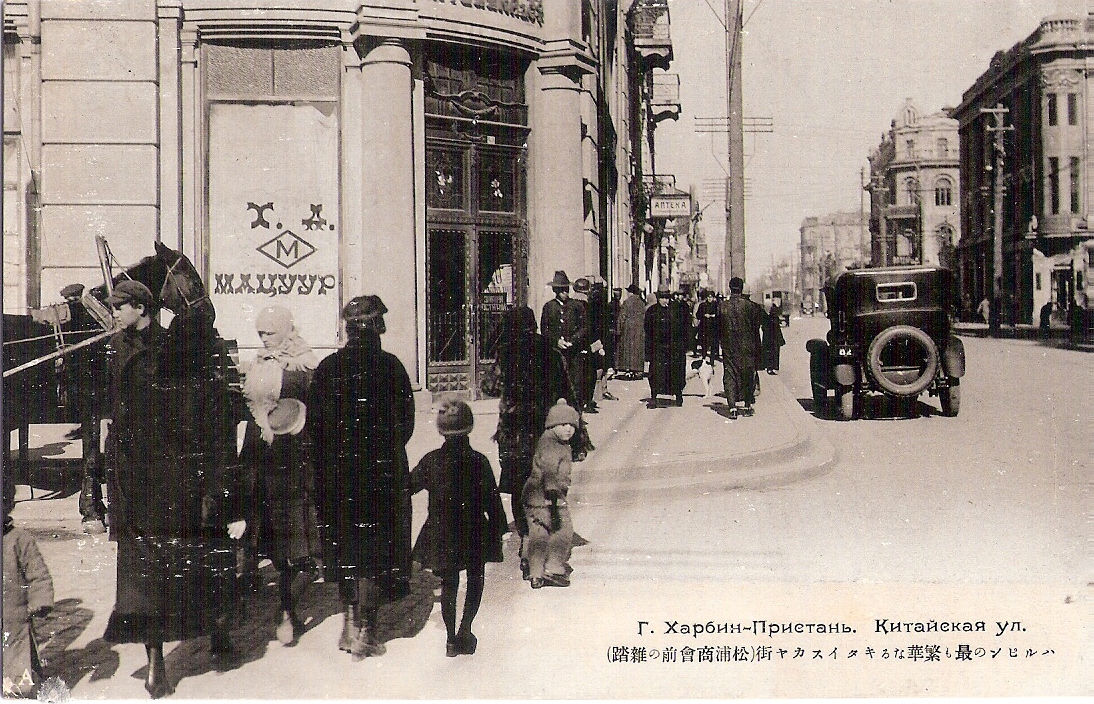
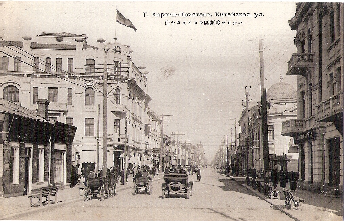
| Kitaiskaya Street in the Pristan district of Harbin |
Pedestrians stroll on Kitaiskaya Street in the
Pristan District of Harbin, where most foreigners lived. |
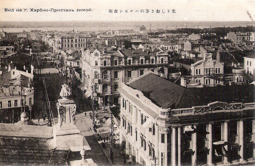
Aerial view of Harbin's Pristan District in winter. |
 |
 |
 |
|
Russians prided themselves on the European
architecture of their section of Harbin. However, they named this
avenue "Kitaiskaya," which means "Chinese" in Russian. |
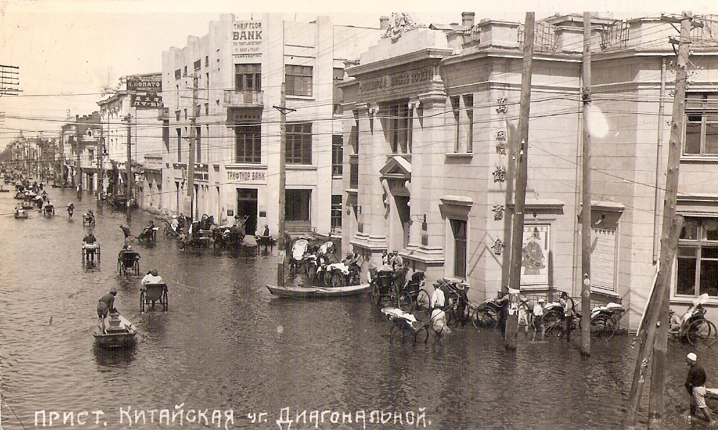
Rickshaws, boats and horse carts navigate Kitaiskaya
Street in Harbin during the 1932 flood. |
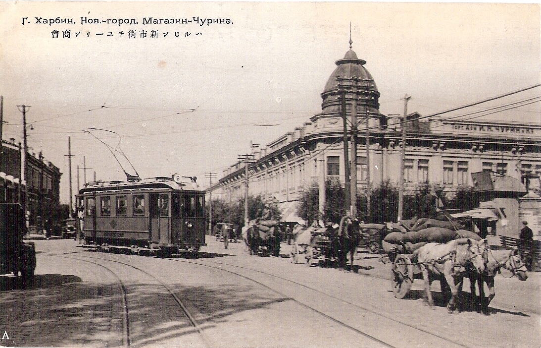
A streetcar shares the road with horse carts in the
"New City" section of Harbin. The Churin store is in the background. |
 |
 |
 |
|
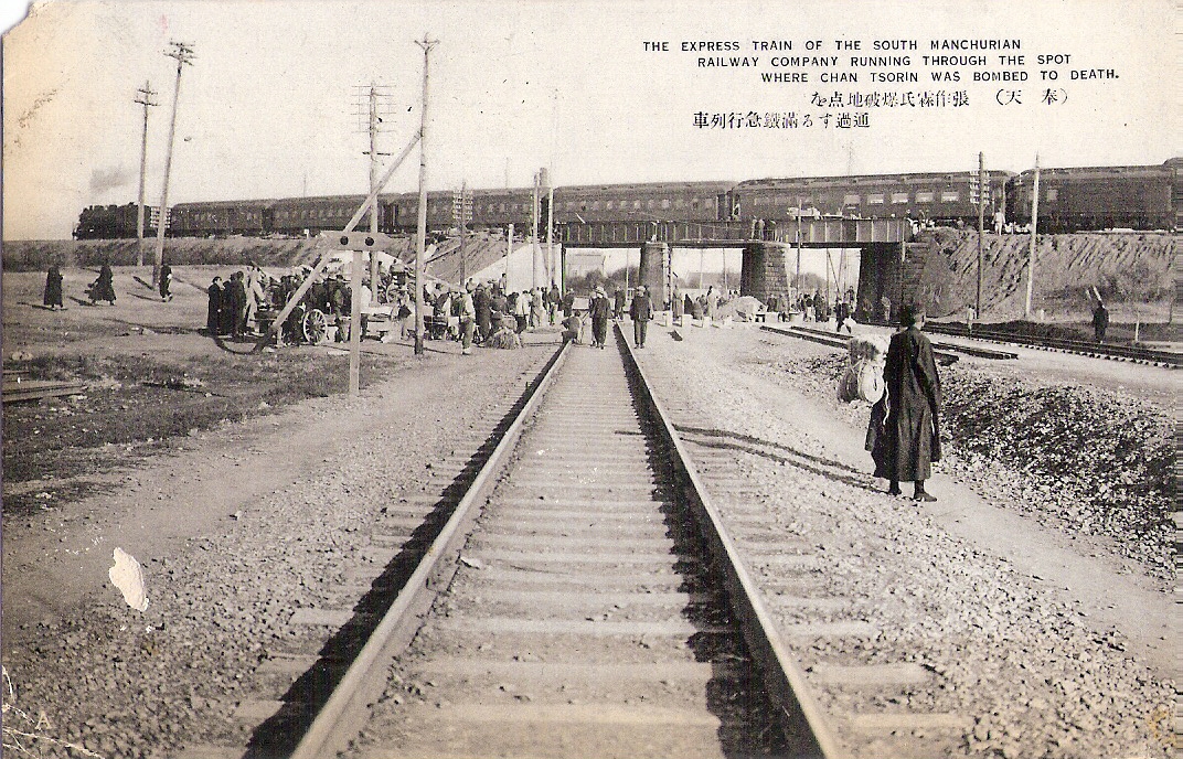
The photo shows where the warlord ruler of Manchuria
Chan Tsorin (also known as Chang Tso-lin or Zhang Zuolin) was killed
by a bomb on the outskirts of Mukden (now Shenyang) in 1928, while
riding the South Manchurian Railway. The bomb was planted by the
Japanese Army because the warlord's army had failed to stop the
advance of the Nationalist Kuomintang under Chiang Kai-Shek. Japan
initially had backed Chan Tsorin against the Kuomintang, which was
at the time allied with Russia, Japan's rival for control of
Manchuria. |
Men crowd a large traditional bazaar in Harbin. |
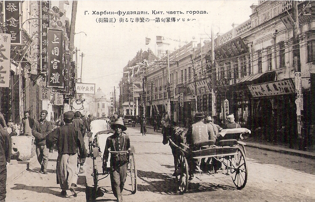
A shopping street in Harbin's Chinese quarter |
 |
 |
 |
|
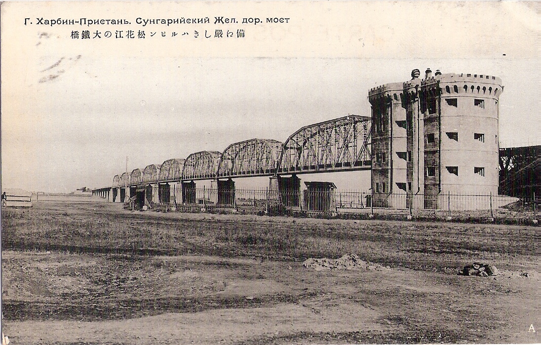
Bridge spans the Sungari River in Harbin's Pristan
District. |
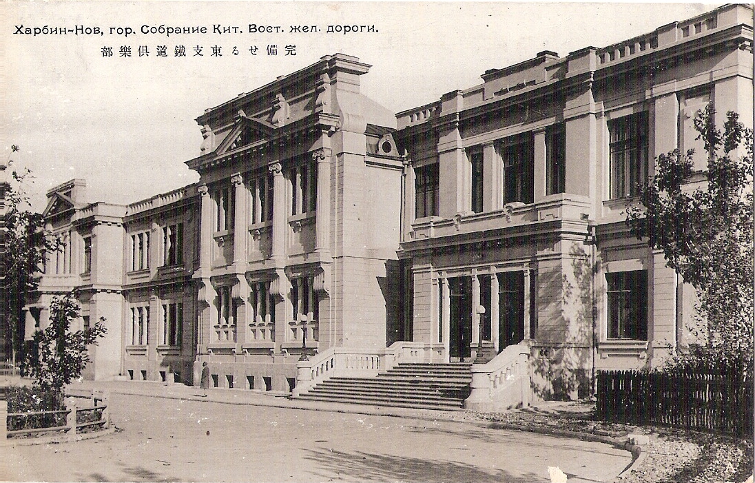
Russian Railway Club in Harbin |
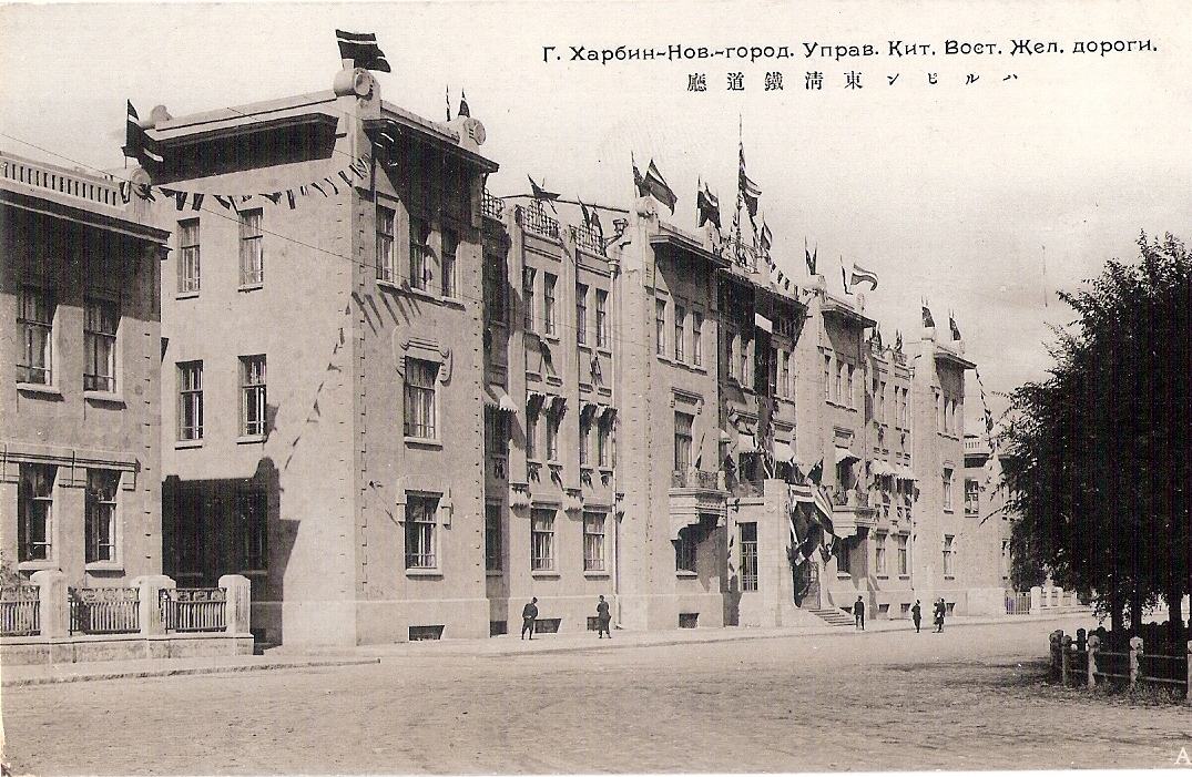
Railway Bureau Building in Harbin |
Web Page: Copyright © 2013 Irene Clurman