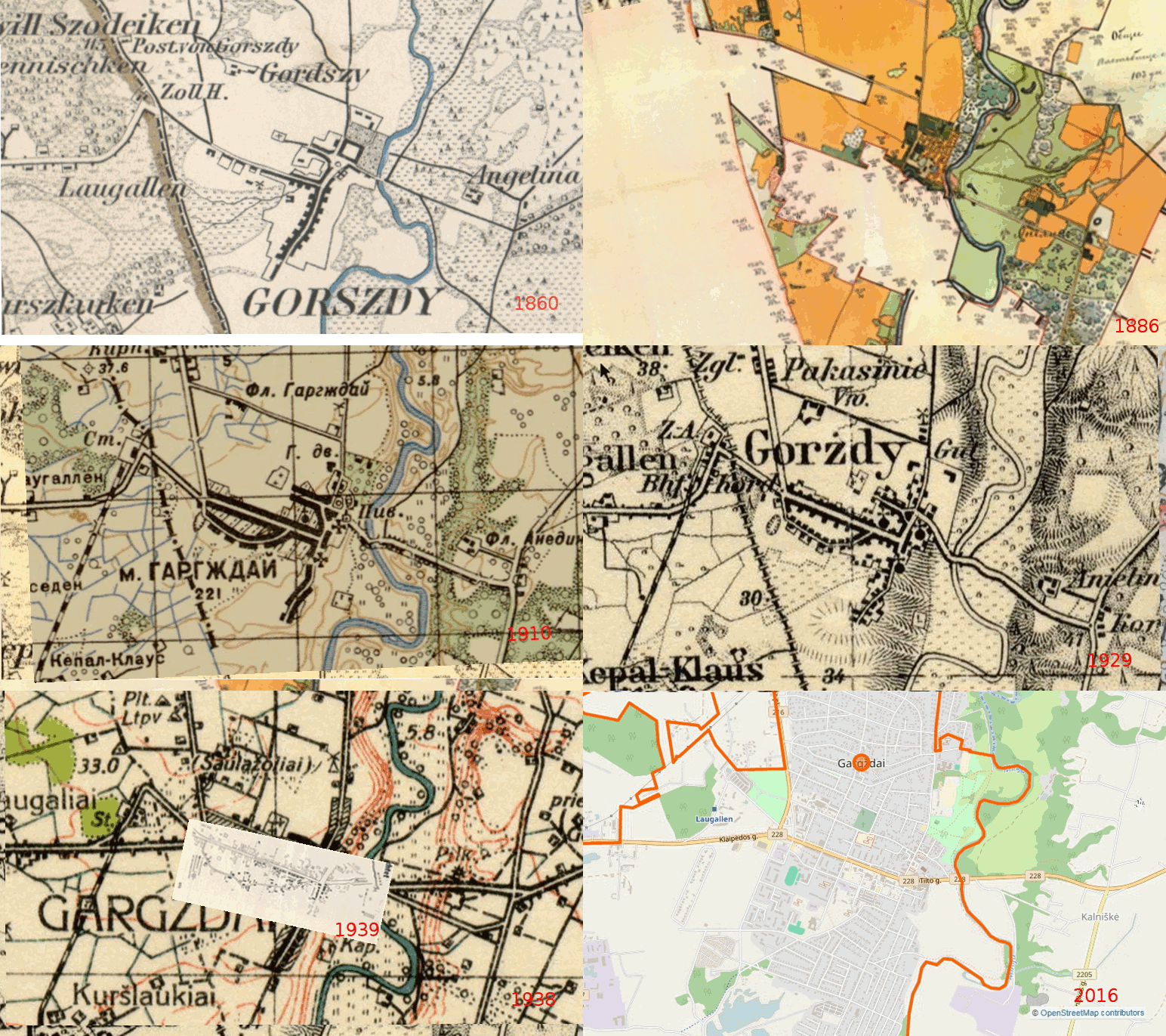

Comparison of Maps of Gargzdai, 1860 - 2016

This animation compares twelve maps of Gargzdai, and may assist in demonstrating how the town has changed over the years.
The following maps are repeatedly cycled at 3.5 second intervals:
| Date
label within animation |
Map |
| 1860 |
Prussian General Staff Map (1860) |
| 1872 |
Russian Empire 1866-1872 |
| 1886 |
Estate
lands surrounding Gargzdai (1886) |
| 1910 |
Karte des Deutschen Reiches 1860-1880 (supplemented 1910) |
| 1910 |
Russian
Military (1:50,000) (1910) |
| 1913 |
Karte
des Deutschen Reiches (1913-1915) |
| 1914 |
Russian (1:84,000) IX-10 (1914) |
| 1929 |
Karte des Deutschen Reiches 1921 - 1929 |
| 1938 | Lithuanian Army Topographic 1938 |
| 1939 |
German
Fire Map 1939 |
| 1978 |
Soviet Military 1978 |
| 2016 |
openstreetmaps.org 2016 © OpenStreetMap contributors |
(Some firewall or ad-blocking settings may block this .gif animation, and it may not be visible with some browsers or devices.)
This is a large file (2 MB) and may take considerable time to download.