BIALYGen
Bialystok Region Jewish Genealogy Group
GRODNO GUBERNIYA POLAND IMAGING PROJECT
SURVEY OF JEWISH CEMETERIES
by Heidi M. Szpek, Ph.D.
Associate Professor, Department of Philosophy and Religion Studies
Central Washington University
May 2007
Partial funding provided by: The Department of Philosophy & The Office of International Studies and Programs Grant Committee,
Central Washington University, Ellensburg, Washington 98926, USA
Back to Poland Imaging Project Cemeteries Index
|
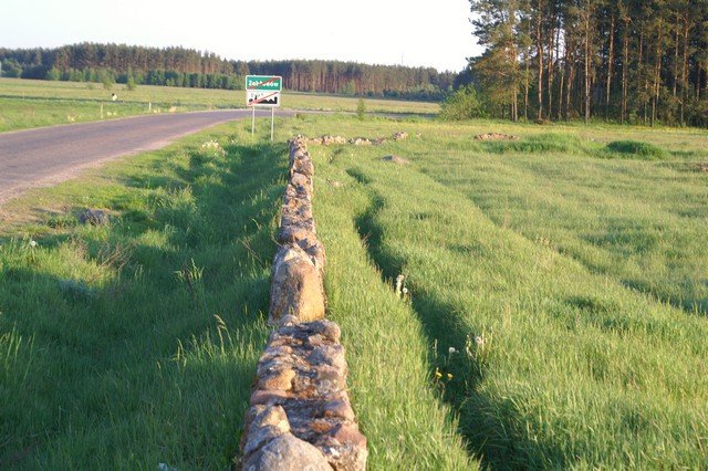
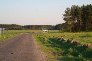
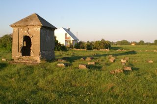
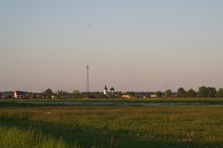
Zabludow 53°01'N 23°21'E Size: 1.5 acres Number of matzevoth: None (c. 120 supports: 1 ohel with inscription)Bagnowka.com: Zabludow Gallery (photographed 1988, 2006)Directions: The cemetery is easy to locate, as the ohel is quite visible from the highway. From Bialystok, travel south on highway 19 for 20 km to the town of Zabludow. The cemetery is located in the southwestern part of town, visible and accessible from the highway (Image 1,3,).
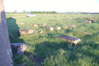
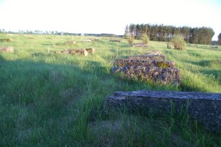
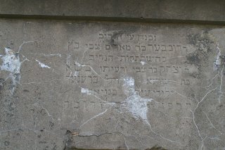
Image 1 Conditions: The area is well-tended, with the remains of a cobblestone wall surrounding the cemetery (Image 1,2). Approximately 120 bases were counted (Images 3,4); one ohel with an inscription is well-preserved (Images 5,6). The area is flanked on three sides by agricultural fields and a few small houses (Image 7,8).
Back to Poland Imaging Project Cemeteries Index
|


