BIALYGen
Bialystok Region Jewish Genealogy Group
GRODNO GUBERNIYA POLAND IMAGING PROJECT
SURVEY OF JEWISH CEMETERIES
by Heidi M. Szpek, Ph.D.
Associate Professor, Department of Philosophy and Religion Studies
Central Washington University
May 2007
Partial funding provided by: The Department of Philosophy & The Office of International Studies and Programs Grant Committee,
Central Washington University, Ellensburg, Washington 98926, USA
Back to Poland Imaging Project Cemeteries Index
|
Drohiczyn
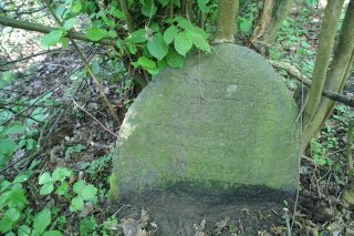
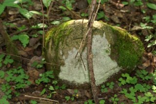
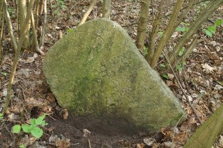
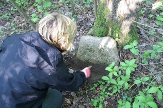
52°24'N 23°39'E Size: > 1 acre (dense rural pine forest with varied verdance) Number of matzevoth: 21 (most fallen, partially buried and/or in fragments) with visibleinscriptions; an additional 20 matzevoth remain with inscriptions worn away or illegible; a few concrete bases lie beside the dirt road. Bagnowka.com: Drohiczyn Gallery (photographed in 1989)
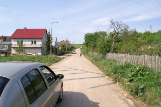
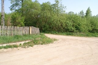
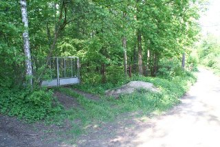
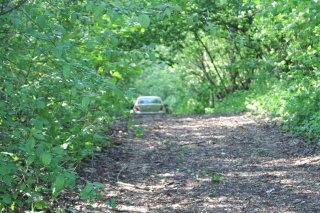
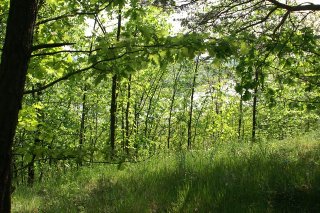
Directions: What remains of the Drohiczyn Jewish cemetery is NOT easy to locate. The cemetery is situated outside the city of Drohiczyn, near the banks of the Bug River neither of which is visible from the cemetery. The cemetery is reached by traveling west on highway 62 (about 2 miles south of Siemiatycze) toward Drohiczyn. Approximately 1 km BEFORE the city of Drohiczyn, the small one-pump Kraskowski’s LP gas station and dirt road will appear at left. Follow this dirt road as it heads towards the Bug River (the river and tops of the Drohiczyn churches will be visible). The road will dip down and curve right for about a half mile (1.5 km) until at right appear a small group of houses (Image 2). Pass these houses and immediately at left will appear another dirt road with a wooden fence and power line tower (Image 3). Turn onto this narrow dirt road, traveling for about a half mile (1.5 km). The forest and brush will grow denser. At left you’ll see white wrought-iron gates and a black wrought-iron fence (Image 4). Just past this fence, around the corner, at left will be what appears to be a dirt driveway blocked by a fallen tree (Image 5), at the end of which are three large boulders. The Jewish cemetery will be located at left, unmarked, BEFORE one reaches the boulders. At right is a barbed wire fence with the remains of an old wooden structure. Walk up the gentle slop into the cemetery (about 35 meters) with a keen eye to the ground, as the tombstones are scattered in this half acre area and the half acre area ascending the small hill. There is path at the top of this hill, walk along for a few paces and from the hill’s vantage point, in late fall to early spring, the Bug River is visible in the distance. (Image 6) The cemetery is thus located on a hillock by the Bug River, but more accurately the majority of matzevoth now lay along the back (northern) slope away from the river. Note: The older local people, who reside in the first two houses (Image 2), were extremely help. They do not speak English, but a little knowledge of Polish words for directions and hand signals is most helpful.
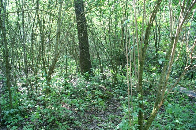
Conditions: The obscure location of this cemetery seems to be protecting those matzevoth and graves that do remain. A few worn paths indicate that land is traversed by the locals. The area is covered by dense vegetation, pine trees, and humid (already in early May) because of proximity to Bug River, which easily can cover remaining matzevoth with greenery and moss. The area is clear of litter; the only danger seems to be the every encroaching vegetation and the area’s inherent dampness, which eventually may erode what remains of legible inscriptions. The matzevoth are spread out over this half acre location. A fallen tree divides this cemetery in half.
Back to Poland Imaging Project Cemeteries Index
|
||||||||||||||||||||


