Baligród
Current Photographs
This page contains photographs of Baligród taken in recent times, starting at least after the Holocaust.
All images have been shrunk down to the same size. Rollover an image for a larger preview, and click to see the full-sized image.
The Google map is a current satellite image of the area of Baligród.
Click next or previous to view the next or previous set of four different documents.
|
View Larger Map |
A map of Baligród today. |

|
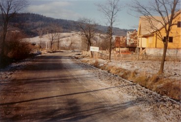
Picture taken of Baligród c.1985. |

|
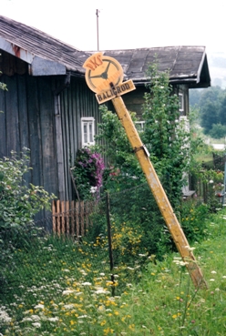
A sign pointing out one of Baligród's bus stops.
|

|
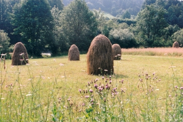
A group of haystacks in the middle of a field in Baligród.
|

|
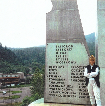
A memorial in Baligród listing the names of the nearby towns that were cleansed of Jews during the Holocaust.
|
Compiled by Maurice I. Kessler.
Updated March 15, 2010
Copyright © 2010 Maurice I. Kessler
Webpage Design by Arie Schwartz.
JewishGen Homepage
|
KehilaLinks Directory
This page is hosted at no cost to the public by JewishGen, Inc., a non-profit corporation. If you feel there is a benefit to you in accessing this site, your
JewishGen-erosity
is appreciated.
