
3rd Military Mapping Survey of Austria-Hungary
The Mapping Survey started during the first years of the First World War,
starting in the years 1869 to 1887. The maps were created by order of the
Austrian Ministry of War in 1868. The original sheets were published about
1910 but the survey started in 1989.
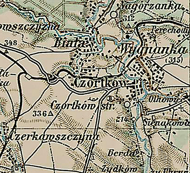
A small section of the map showing Czortków
The Scale of 1:200 000 is large enough for one to see the small cluster of
houses lining both sides of the road.
This page is hosted at no cost to the public by JewishGen, Inc., a non-profit corporation. If you feel there is a benefit to you in accessing this site, your JewishGen-erosity is appreciated.
Last updated
11/18/12 by ELR
Copyright © 2012 SRRG