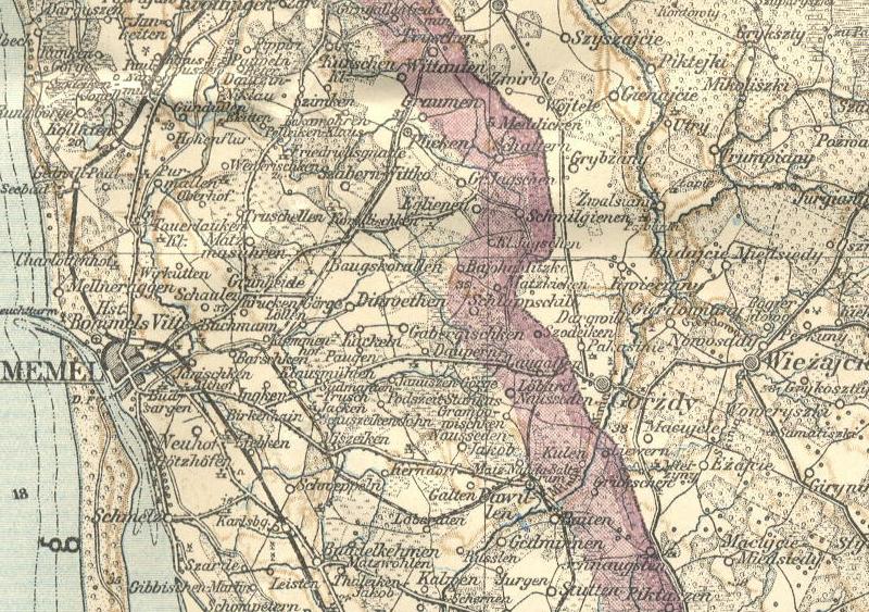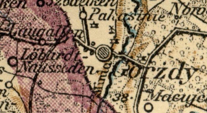
Gargzdai (Gorzd), Lithuania
Royal Prussian Survey (1899 - 1914)

"Tilzit, Szawle, Königsberg, Kowno, Lomza, Grodno"
Kartogr. Abteilung der Kgl. Preuss. Landesaufnahme 1899
Printed 1914
Scale of Map = 1:300,000
![]()

Symbols as explained on a similar map:
![]()
Vorwerk = outbuilding (translation of Vorwerk on current German maps)
Meierei = (dairy)-farm; farmhouse (Cassell's)
Gut = estate or farm (Heath's German Dictionary, 1906)
Schloss = castle; palace