
Gargzdai (Gorzd), Lithuania
Maps on Other Websites
These links are to offsite maps which show Gargzdai or contain other
information of interest. Some are large files and may take considerable
time to download. Use your browser's "Back" button to return here.
Modern Maps
20th Century
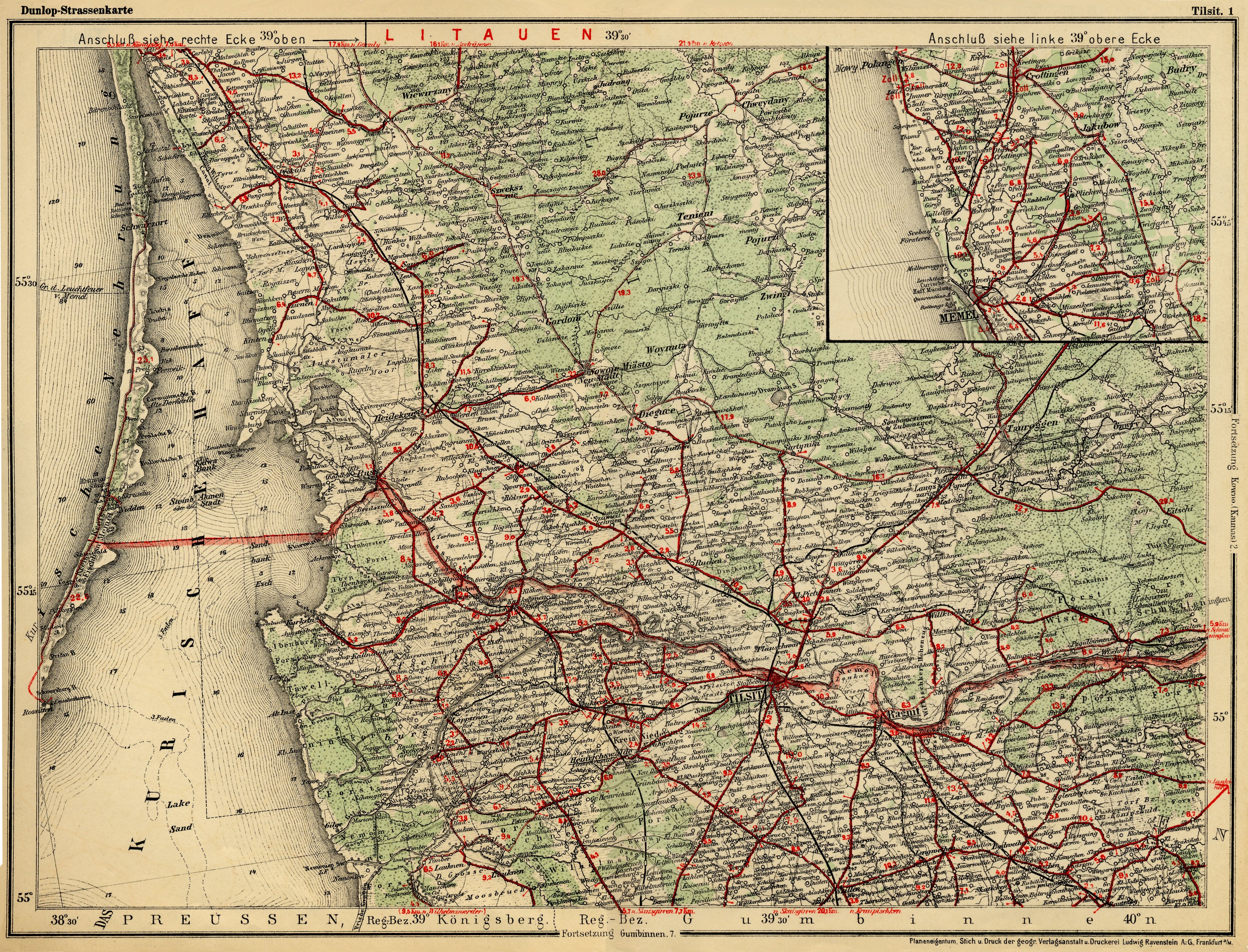
Compare with 1:25000 0294 Laugallen
- Gorschdy (1940) at deutsche fotothek, in which map continues on
Russian side of border.
Klaipeda,
1:300,000
(1936) (Polish map showing Gargzdai (Gorzdy))(at Wikimedia Commons)
University of Texas Map
Collection
David Rumsey Map Collection,
University of California
Note: Use of
site may require disabling of any pop-up blockers in browser and/or
security programs
General-karte der Russichen Ost-See
Provinzen (1914) (showing Grosdi) (at site, click on 10A) at marnitz.eu
www.landkartenarchiv.de
www.kartenmeister.com
19th Century
- GenWiki
- www.maps4u.lt - German,
Lithuanian and Russian maps
- Federation of East European
Family History Societies
- University of Wisconsin Map Collection
- maproom.org
- University
of
Bremen
- David Rumsey Map Collection,
University of California
Note: Use of
site may require disabling of any pop-up blockers in browser and/or
security programs
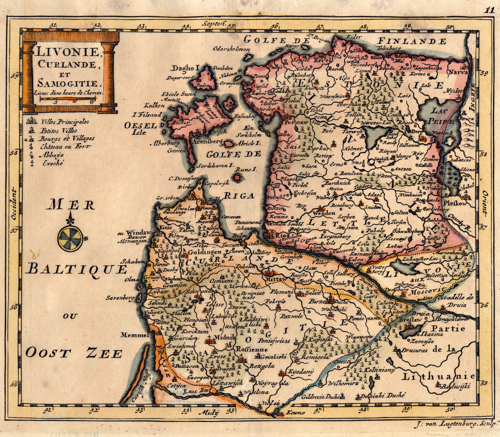
- Arrowsmith,
"Prussia & Poland" (1844) (showing Garsden)
- Johnson,
"Prussia Sweden Norway and Denmark" (1860) (showing Gorshedy)
- Stieler,"Sud-Schweden,
die
Russischen Ostsee-Provinzen, Polen & West-Russland" (1875)
(showing Grosdi)
- Stieler,"Die
Preussischen Provinzen Preussen Und Posen" (1875) (showing
Garsden)
- Johnston,
"Russia SW, Poland" (1861) (showing Groshdi)
- Johnston,
"Baltic" (1861) (showing Garsden)
- Karte
des
Deutschen Reiches (1893)
- Society for the
Diffusion of Useful Knowledge, "Russia Part III" (1834)
(showing Gorjdy)
18th Century and Before
Maps of Military Campaigns
- German Military Maps concerning WWII at www.mapywig.org
- Soviet Military Maps concerning
WWII at www.rkka.ru/
To translate above page from Russian: go to page, copy and paste url into
google search, at search result click "Translate this page"
Miscellaneous Maps
Gargzdai main page
This page last revised 6/15/2020
Copyright © 2002 - 2020 John S. Jaffer