
The most famous Moldavian of the 18th century was the Prince of Moldavia, Demetrius Kantemir. He was a writer, a political leader and a scientist. He led ten thousand Moldavians on the Russian side in their fight against the Turks. After the Turks were victorious Kantemir fled and settled in Russia. Peter the Great awarded him the title of Prince of the Russian Empire.
Demetrius Kantemir wrote DESCRIPTIO ANTIQUI ET HODIERNI STATUS MOLDAVIAE (Descriptio Moldaviae) the first and most complete description of Moldavian geography, history, government, and daily life. This work included a description of the life of Jews; their rights, occupations and relations with their neighbors. [Kantemir,1714,translation in to Russian 1973].
In the first chapter, geographical, Kantemir wrote about Ancient and Modern Moldavia following:
Nogai Horde (Nogai tatars) were divided in 2 branches: Orak-ogly and Orumbet-ogly, who kept very careful their tribal traditions. As their ancestors did, these nomad people live in steppe, and they do not have towns, except Kaushany on the river Botna, which runs in these region at insignificant distance.
Later Kantemir continued: ...But The most convincing are witnesses of the Roman historians, from whom we learn that Emperor Trajan moved many colonists to Dakia (old name of region of Moldavia and Walachia), and that his successor Adrian, though lost many eastern countries, decided not to leave Dakia, that he was afraid that these colonies will be destroyed. As an eternal monument to this was Ditch of Emperor Trajan. Up to this day this construction keeps the name of Trajan who built it, though not many historians mention that. This ditch among two banks, as I saw myself, starts from Petrivaradina in Hungary, goes to the mountain of Demarkap, Iron gates and from that runs throughout all Walachia and Moldavia, crosses Chieras near village of Trajan, and river Botna near town of Kaushany, and crosses all tatar land ends by the river Tanais.
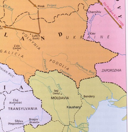
Part of a map of the region in 18 century from Historical Atlas of Central Europe, by Paul Robert Magocsi, 2002
Copyright © 2008, Yefim Kogan