 |
Panemunė (Aukštoji Panemunė, Lithuania) |
Historic Panemune Maps and Images
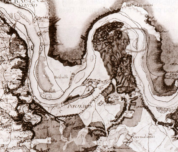 |
| 18th Century Map of New East Prussia, Showing Poniemon Vytautas Jakelaitis, Saulei leidžiantis – toks buvimas drauge : memuarai, Vilnius, 2002, p. 112–113. Image is used here with permission of the Kaunas County Public Library. |
 |
 |
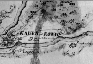
| 1776 Prussian Map Image is used here with permission of maps4u.lt. |
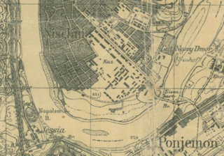
1914-1919 Russian map of
Westlichen Grenzgebiets (Western Border Region) Note, on the lower left, the designation of Napoleon’s Hill. Image is used here with permission of maps4u.lt. |
Click on any image below for a larger version.
 |
 |
 |
 |
|
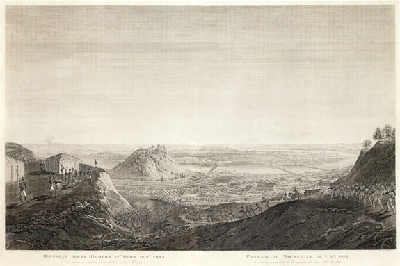
Napoleon's Army Crossing the Nemunas in Kaunas, June
24, 1812 Wood carving. Artist: Dž. Bagetti Carver: I. Klauberis. St. Petersburg Taken from: Отечественная война и русское общество 1812–1912, Moscow, 1912, pp. 144–14 (48 kilobytes) Image is used here with permission of the Kaunas County Public Library. |
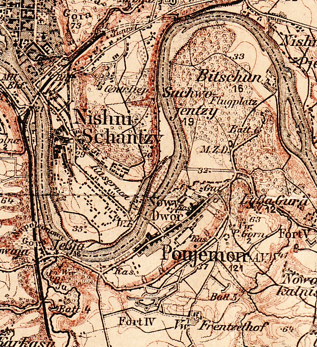
Karte des Westlichen
Russlands, Sheet O-22 (Kowno), 1914. The publisher is the
Kartographische Abteilung d. Koenigl. Preuss. Landes-Aufnahme,
cartographic division of the Royal Prussian land survey.
(324 kilobytes)
Image was provided courtesy of John S. Jaffer. We made every effort to find a copyright holder of the 1914 map without success. If you know how to reach the copyright holder, please contact Jeff Marx. |
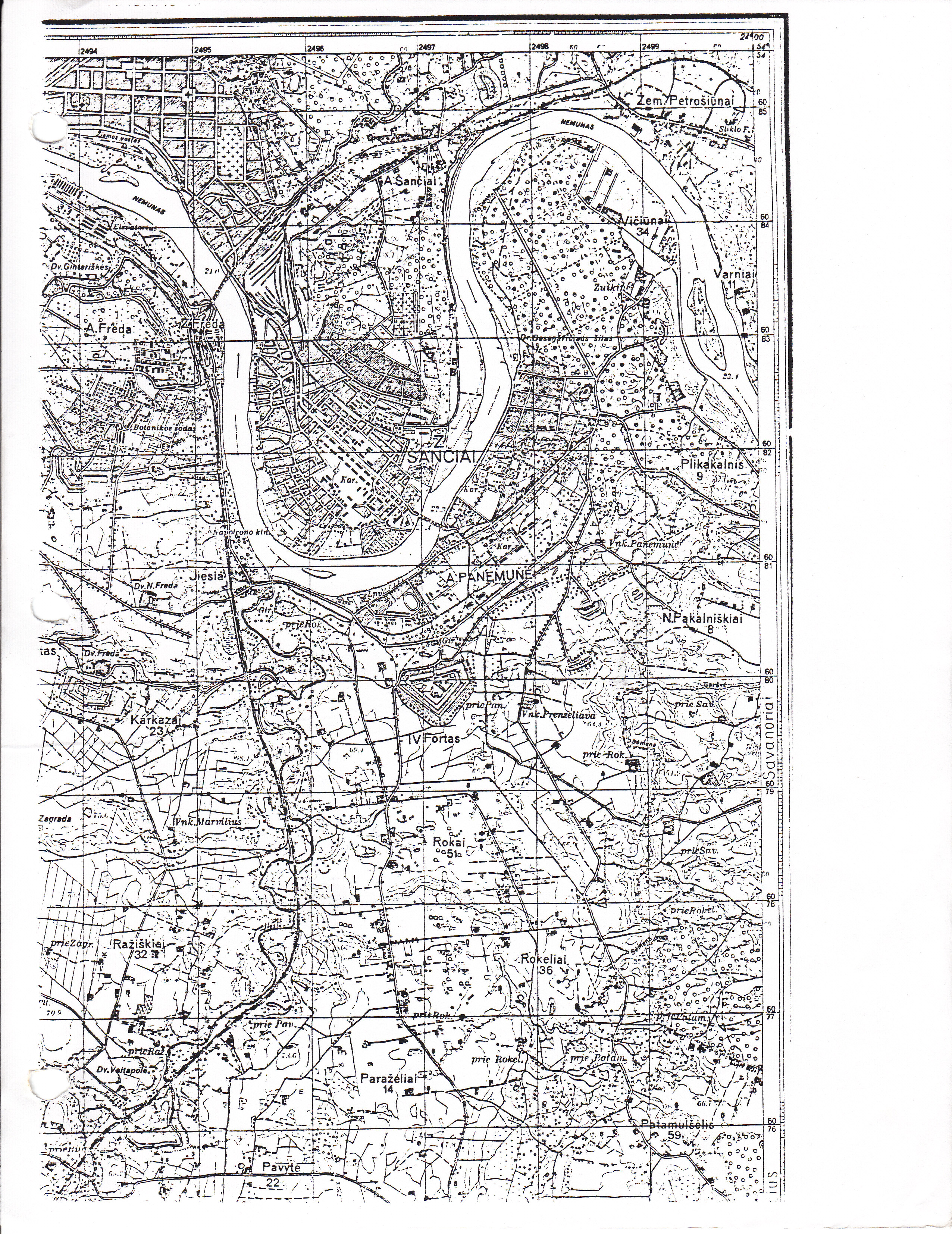
From Map Division, Library of Congress, 1935, U.S.S.R,
Kaunas P., G7050-S25, L5 , #498 (4.27 megabytes) |
Hand-Drawn Map of Panemune in the 1940s by Jeff Marx, based on interviews with Zalman Schames and Ralph Kodikov, Los Angeles, 1988 and 2005 Copyright © 2009 Jeffrey A. Marx (1.06 megabytes) Click here for a PDF version of the 1940s map in higher resolution with zooming capability (3.67 megabytes). |
Web Page: Copyright © 2018 Jeffrey A. Marx