The town of Shumsk is located at 50'07'/26'07', 62 km south of Rovno. It is called Shumsk in Yiddish, Ukrainian, and Polish, and Shumskoye in Russian. The Polish spelling Szumsk is sometimes used to this day. The city, identified with the historic region of Volhynia, is now part of the Ternopil Oblast (province) of Ukraine. It was governed by Poland from the 16th century to the end of the 18th century, when it became part of Russia. In 1921 the Treaty of Riga returned Shumsk to Poland. It was annexed by the USSR in 1939 as a consequence of the Molotov–Ribbentrop Pact, but was captured by the German Army in 1941. Following Germany's defeat in 1945, Shumsk again became part of the USSR, and remained so until the establishment of the independent state of Ukraine in 1991.
The All Russian Census of 1897 listed the population of Shumsk as 2,258, 1,962 (87%) of whom were Jews. Most of the other residents were Polish, Russian, and Ukrainian, with a large number of Ukrainians and some Poles living in the nearby villages. There was significant emigration from the town in the first several decades of the 20th century, primarily to the United States. In the interwar period, a number of Shumsk Jews active in the Zionist movement emigrated to British Mandate Palestine. Almost all of the Jews who remained in the town were murdered by the Nazis and their sympathizers, primarily in mass shootings in August 1942. The few Jews who survived the wartime period were either hidden by righteous gentiles (primarily Shtundists) or had fled eastward into the Soviet Union ahead of the Germans. A handful of Jews attempted to resume their lives in the town following the War. Today the town is populated overwhelmingly by ethnic Ukrainians. Here is the official website of Shumsk today.
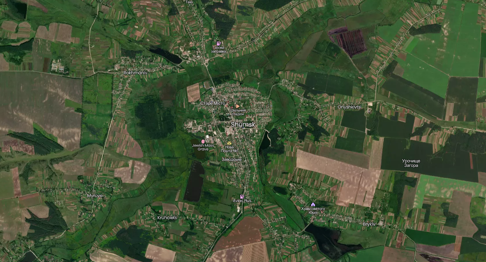
For a Google satellite map, click
here.
Note: you can now explore Shumsk virtually through Google Street View,
but only on a few streets. To take a "virtual drive" into the old part
of town, begin
here. The former site of the great synagogue and market square is approximately here. You may also wish to watch Arkadyy Boyarsky's videos of the town as it appears today. In particular, this video and this video begin in the portion of
town that once contained the synagogue and the market square, and this one shows the old homes in the vicinity of the Catholic church (which was destroyed by the Soviets and has since been rebuilt). This video
offers an aerial perspective on the old part of town, taken with a
drone camera that initially takes flight from the former site of the old market
and synagogue.
Click here
to see a hand-drawn map from memory by Shumsk native Keith Peltz,
created half a century after he departed Shumsk.
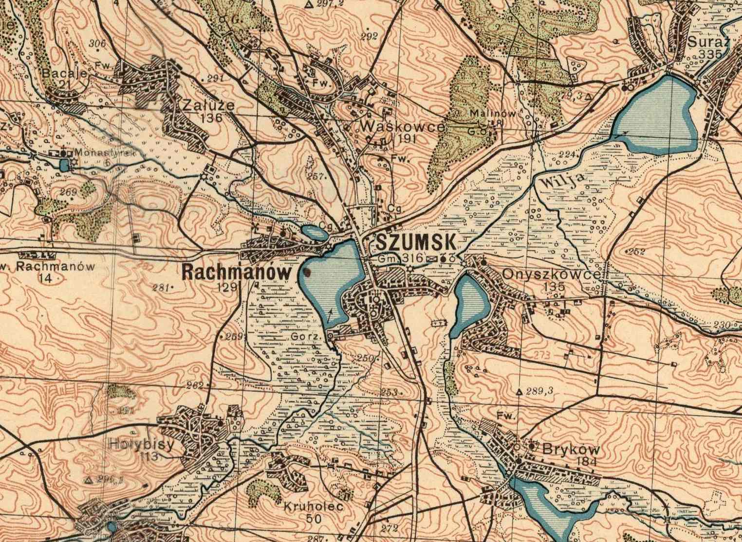
Below is a detail from a 1927 map during the period
of Polish rule.