 |
|
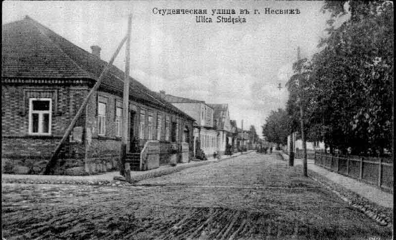
Nesvizh Maps
Nesvizh Maps
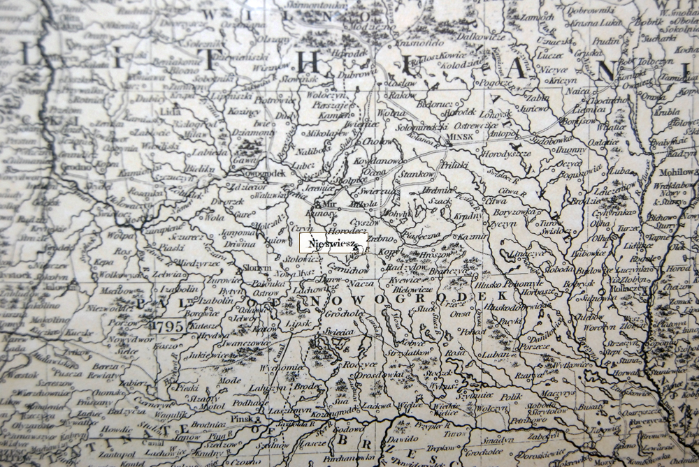
From map of Poland - 1799. Entitled A New Map of Poland, and the Grand Duchy of Lithuania Shewing their Dismemberments and Divisions between Austria, Russia, and Prussia, in 1772, 1793 & 1795, from the the Latest Authorities. This 1799 map by John Cary covers the area from Poznan in the west to just west of Smolensk in eht east and south as far as the Hungary-Moldavia borders. Towns, villages, detached territories, and internal "palatinates" are shown.
(Image captured at the Jewish Genealogical Society of Michigan)
Poland: 1817 N.R. Hewitt's map of Poland was first issued in London in 1817. Showing Poland divided into its internal "palatinates," the map has rich detail locating cities, small towns and villages.
(Image captured at the Jewish Genealogical Society of Michigan)
Facilitator and Webmaster:Steve Stein
Created and maintained by Mike Meshenberg until March 2016
Webmaster Emeritus: Brad Lakritz
Updated: 10/3/2017