Copyright © 2012 Amira Lapidot Hemme


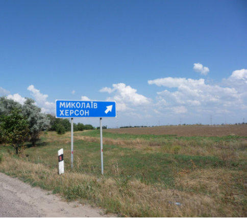
City Sign for Mykolayiv, Kherson
Mykolaiv Municipal Coat of Arms
Coordinates
46°58′0″N 32°00′0″E
Alternate names: Mykolayiv (Миколаїв) [Ukr], Nikolayev
[Rus, Yid], Mikolajów [Pol], Mykolajiw, Mikolayev,
Nikolajew, Nikolajev, Nikolaev, Nikolaiev, Neishtetel,
Vernoleninsk
Mykolayiv is a major city in southern Ukraine. It is
located on the Buh River estuary. It is 250 miles SSE of
Kiev, 70 miles ENE of Odessa, 36 miles NW of Kherson.
Mapquest:
http://www.mapquest.com/?q=46.976,32.0
GoogleMaps:
https://maps.google.com/?q=46°58'N32°00'E&t=h&z=12


This page is hosted at no cost to the public by JewishGen, Inc., a non-profit corporation. If you feel there is a
benefit to you in accessing this site, your JewishGen-erosity is appreciated.
http://www.jewishgen.org/JewishGen-erosity/

This KehilaLink is for the city of Mykolayiv in Kherson Province, Ukraine. There are at least two other Mykolayiv's/Nikolayev's in
Ukraine. One is in Podolia Province, the other is in Lviv Province.
The Mykolayiv in Kherson Province, is located on the Buh River, close to the Black Sea. It was founded in 1788 as a naval base.
Jews had been invited to and expelled from Nikolayev, over the years and the centuries.
This site is dedicated to the memory of my Savta Sarah, my paternal grandmother. She was born Sarah Katz in Nikolayev in 1903.