
Gargzdai (Gorzd), Lithuania
Homann Heirs (1735)
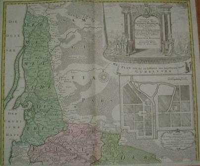
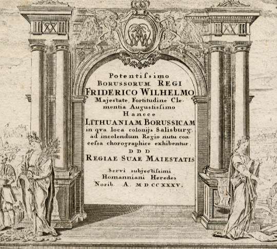
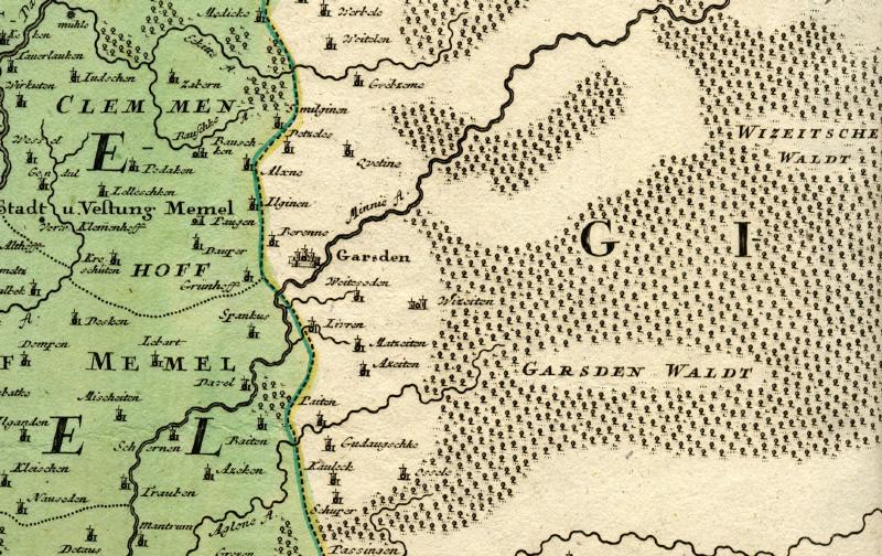
"Lithuaniam Borussicam"
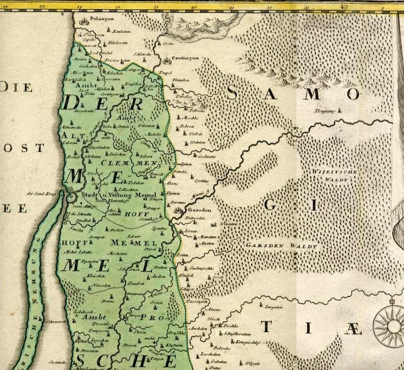
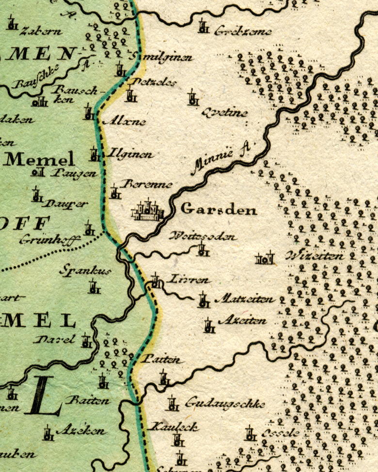
Although many of the place names surrounding Garsden represent small villages, most are identifiable on two detailed 20th century maps of the region - the 1921-1929 Karte des Deutschen Reiches, and the Lithuanian Army Topographic map from 1938.
| Lithuaniam Borussicam | Lithuanian Topo 1:100,000 (1938) | Karte des Deutschen Reiches (1921-29) |
| Alxne |
Alksniai |
Bajohr-Mitzko (?) |
| Azeiten |
Ezaiciai (?) |
Ezajcie (?) |
| Baiten |
Baitai |
Baiten |
| Bauschken |
Baukstininkai |
Baugskorallen |
| Dauper |
Dauperai |
Daupern |
| Davel |
Dovilai |
Dawillen |
| Gribzeme* |
Gribziniai |
Grybzany |
| Gudaugschke |
Gudiske |
Gudama |
| Ilginen |
Ilginiskiai (?) |
Ilgegahnen (?) |
| Kauleck* |
Kojeliai (?) |
Kojellen (?) |
| Livren* | Lyveriai |
Liewern |
| Matzeiten |
Maciuiciai (?) |
Macujcie (?) |
| Medicke |
Medikiai |
Meddicken |
| Paugen |
Lydimai (?) |
Paugen |
| Qvetine |
Kvietiniai |
Kwieciany |
| Schuper |
Siupariai |
Szupory |
| Smilginen |
Smilginai |
Schmilgienen
|
| Spankus |
Stimbrai (?) |
Podsseit-Stankus (?)
|
| Weitelen* |
Vaiteliai |
Wojtele |
| Wizeiten |
Vezaiciai (?) |
Wiezajcie (?) |
| Zabern |
Ziobriai |
Szabern |
Berenne*, immediately northwest of Garsden on this Homann Heirs map, is shown as Birennischken, E. Prussia, in the Prussian General Staff Map of 1860-75. The name is not shown in later editions of Karte des Deutschen Reiches.
* Modern map indicates village is on opposite side of former German border than indicated on 1735 map
Copyright © 2005 - 2006 John S. Jaffer