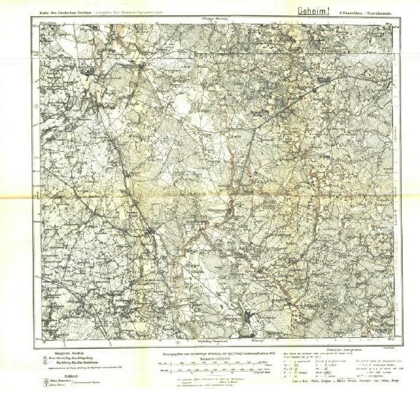
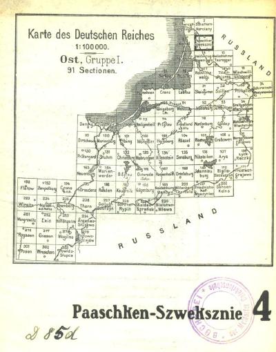
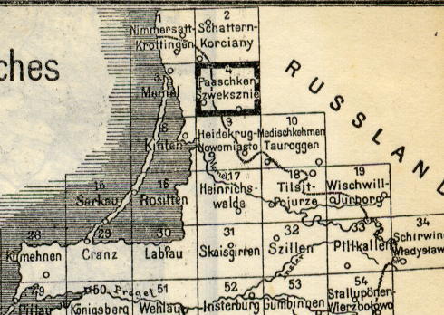
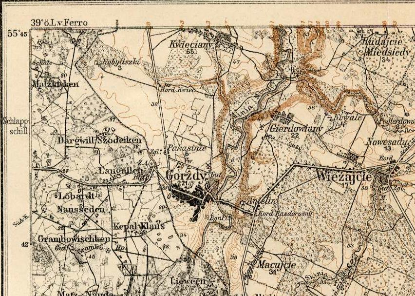
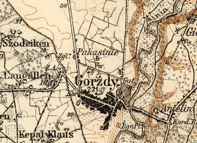
Karte des Deutschen Reiches (1913 - 1915)
Sheet 4 - Paaschken-Szweksznie
![]()
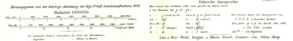
Scale in meters
1000 meters = 0.62 miles
Scale = 1:100,000
Kartogr. Abteilung der Kgl. Preuss. Landesaufnahme 1913
Printed 1915
Ausgabe für Grenzschutzzwecke [Edition for Purpose of Border
Defense]
Geheim! [Secret!]
![]()
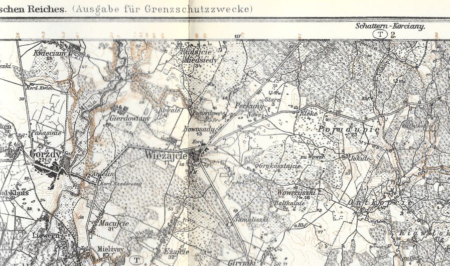
Note: The non-italicized numbers (such as 221 under the Gorzdy town name)
indicate the number of dwellings in the town. The italicized numbers
represent elevation in meters.