Animation Comparing Karte des Deutschen Reiches
(1860-1880);
Russian Map of Estate Lands (1886),
Russian Military Map (1910),
Karte des Deutschen Reiches (1913 - 1915)
and Aerial Photos #157 and #158 (1945)
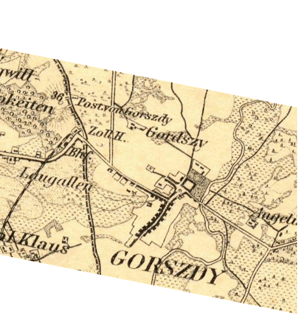
The following .gif animation compares: 1) Karte
des Deutschen Reiches (1860-1880, suppl. 1910); 2) Russian
Map of Estate Lands surrounding Gargzdai (1886); 3) Russian
Military Map 1:50,000 (1910), 4) Karte
des Deutschen Reiches (1913 - 1915); and 5) Aerial Photos #157
and #158 (January 16,
1945). Lining up the maps and photos is not an exact process.
Animation recycles at 5 second intervals, and may assist
in showing both changes and continuities in Gargzdai over this time
period. Alignment follows 1886 map, so that top of maps is
magnetic north rather than true north.
Animation may not be visible in some browsers or operating
systems.