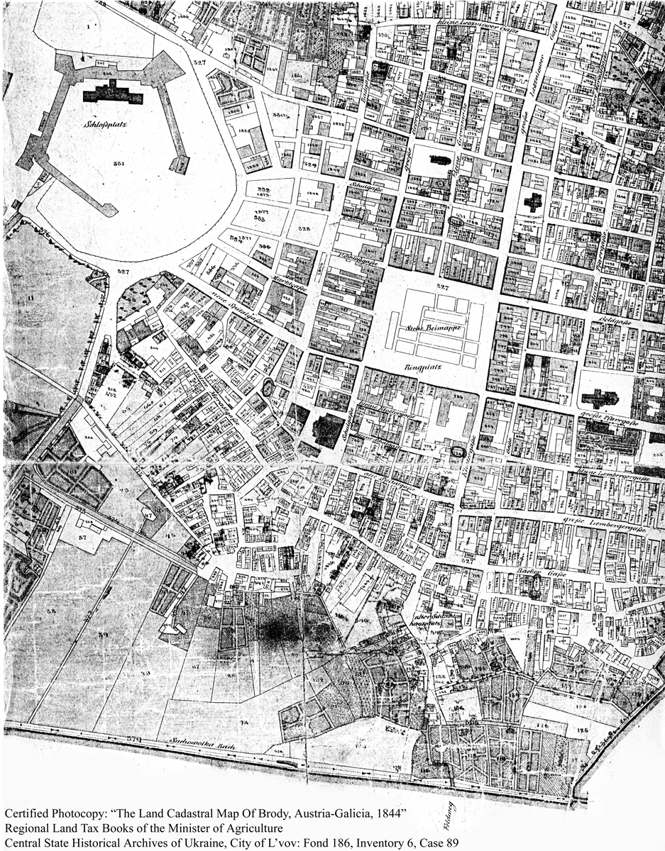
1844
Inasmuch as numbers are difficult to see on the below map, larger scans
of the two halves of this map have also been provided on an auxiliary page.
Click here
(This map or the two scans accessed by clicking on the link above can also be
downloaded to your computer, and you can then enlarge the map or view it with the
zoom feature in your image viewing software in order to see the numbers more clearly.)